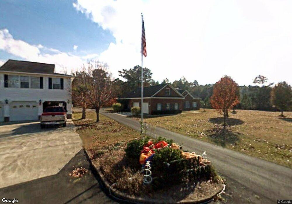
10142 Hensley Ln Summerville, SC 29483
Estimated Value: $324,590 - $403,000
--
Bed
--
Bath
2,125
Sq Ft
$173/Sq Ft
Est. Value
About This Home
This home is located at 10142 Hensley Ln, Summerville, SC 29483 and is currently estimated at $366,648, approximately $172 per square foot. 10142 Hensley Ln is a home located in Berkeley County with nearby schools including Sangaree Elementary School, Sangaree Intermediate School, and Sangaree Middle School.
Ownership History
Date
Name
Owned For
Owner Type
Purchase Details
Closed on
Jan 24, 2019
Sold by
Hensley Wayne and Hensley Wayne M
Bought by
Hensley Wayne and Hensley Willa Mae
Current Estimated Value
Purchase Details
Closed on
Dec 12, 2008
Sold by
Hensley Tracey H
Bought by
Hensley Dale and Hensley Dale A
Home Financials for this Owner
Home Financials are based on the most recent Mortgage that was taken out on this home.
Original Mortgage
$155,000
Outstanding Balance
$102,266
Interest Rate
6.1%
Mortgage Type
Purchase Money Mortgage
Estimated Equity
$264,382
Create a Home Valuation Report for This Property
The Home Valuation Report is an in-depth analysis detailing your home's value as well as a comparison with similar homes in the area
Home Values in the Area
Average Home Value in this Area
Purchase History
| Date | Buyer | Sale Price | Title Company |
|---|---|---|---|
| Hensley Wayne | -- | None Available | |
| Hensley Dale | -- | -- |
Source: Public Records
Mortgage History
| Date | Status | Borrower | Loan Amount |
|---|---|---|---|
| Open | Hensley Dale | $155,000 |
Source: Public Records
Tax History Compared to Growth
Tax History
| Year | Tax Paid | Tax Assessment Tax Assessment Total Assessment is a certain percentage of the fair market value that is determined by local assessors to be the total taxable value of land and additions on the property. | Land | Improvement |
|---|---|---|---|---|
| 2025 | $1,214 | $261,395 | $47,423 | $213,972 |
| 2024 | $1,164 | $10,456 | $1,897 | $8,559 |
| 2023 | $1,164 | $10,456 | $1,897 | $8,559 |
| 2022 | $1,165 | $9,092 | $1,200 | $7,892 |
| 2021 | $1,193 | $9,090 | $1,200 | $7,892 |
| 2020 | $1,208 | $9,092 | $1,200 | $7,892 |
| 2019 | $1,200 | $9,092 | $1,200 | $7,892 |
| 2018 | $1,153 | $8,284 | $1,120 | $7,164 |
| 2017 | $1,054 | $8,284 | $1,120 | $7,164 |
| 2016 | $1,079 | $8,280 | $1,120 | $7,160 |
| 2015 | $995 | $8,280 | $1,120 | $7,160 |
| 2014 | $980 | $8,280 | $1,120 | $7,160 |
| 2013 | -- | $8,280 | $1,120 | $7,160 |
Source: Public Records
Map
Nearby Homes
- 5000 Buggs Ln
- 2000 Buggs Ln
- 4000 Buggs Ln
- The Melrose Plan at Essence at Elms Glen - Single Family Homes
- The Julep Plan at Essence at Elms Glen - Single Family Homes
- The Pointe Plan at Essence at Elms Glen - Townhomes
- The Upton Plan at Essence at Elms Glen - Single Family Homes
- The Armfield Plan at Essence at Elms Glen - Townhomes
- The Teagan Plan at Essence at Elms Glen - Single Family Homes
- Henry Plan at Founders Park - Lincolnville Series - Single Family Homes
- Foster II Plan at Founders Park - Lincolnville Series - Townhomes
- Nichols Plan at Founders Park - Lincolnville Series - Single Family Homes
- Salters Plan at Founders Park - Lincolnville Series - Single Family Homes
- Adger II Plan at Founders Park - Lincolnville Series - Single Family Homes
- Buffett Plan at Founders Park - Lincolnville Series - Single Family Homes
- Adger Plan at Founders Park - Lincolnville Series - Single Family Homes
- 1000 Buggs Ln
- 3000 Buggs Ln
- 5095 Buggs Ln
- 4747 Lewis And Clark Trail
- 10138 Hensley Ln
- 10133 Hensley Ln
- 10144 Hensley Ln
- 10122 Bellwright Rd
- 10134 Bellwright Rd
- 10384 Highway 78 E
- 10130 Bellwright Rd
- 10363 Highway 78 E
- 10353 Highway 78 E
- 10388 Highway 78 E
- 10349 Highway 78 E
- 79 Day Rd
- 10387 Highway 78 E
- 214 Dezelle Ln
- 1031 Berry Patch Cir
- 1035 Berry Patch Cir
- 219 Royle Rd
- 10131 Bellwright Rd
- 1039 Berry Patch Cir
- 10125 Bellwright Rd