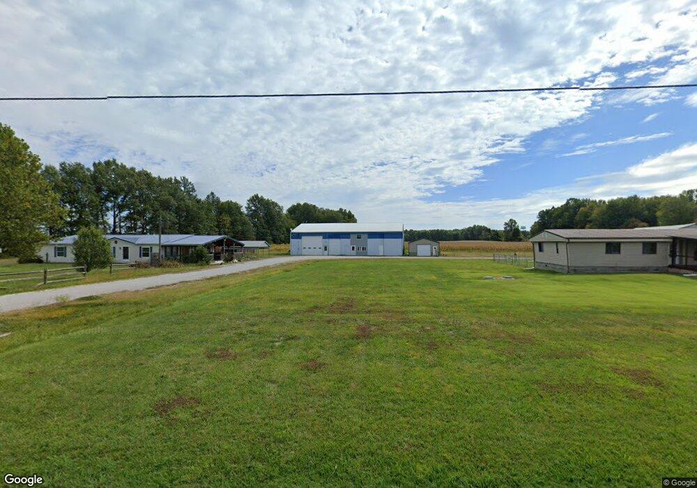
10144 Us Highway 68 Georgetown, OH 45121
Estimated Value: $242,000 - $282,000
4
Beds
2
Baths
1,956
Sq Ft
$132/Sq Ft
Est. Value
About This Home
This home is located at 10144 Us Highway 68, Georgetown, OH 45121 and is currently estimated at $257,986, approximately $131 per square foot. 10144 Us Highway 68 is a home located in Brown County with nearby schools including Georgetown Elementary School and Georgetown Jr/Sr High School.
Ownership History
Date
Name
Owned For
Owner Type
Purchase Details
Closed on
Jun 17, 2024
Sold by
Swearingen Yveta Deann and Swearingen Jamie M
Bought by
Griffith John and Griffith Ira Jean
Current Estimated Value
Home Financials for this Owner
Home Financials are based on the most recent Mortgage that was taken out on this home.
Original Mortgage
$239,900
Outstanding Balance
$236,844
Interest Rate
7.03%
Mortgage Type
VA
Estimated Equity
$21,142
Create a Home Valuation Report for This Property
The Home Valuation Report is an in-depth analysis detailing your home's value as well as a comparison with similar homes in the area
Home Values in the Area
Average Home Value in this Area
Purchase History
| Date | Buyer | Sale Price | Title Company |
|---|---|---|---|
| Griffith John | $239,900 | None Listed On Document | |
| Griffith John | $239,900 | None Listed On Document |
Source: Public Records
Mortgage History
| Date | Status | Borrower | Loan Amount |
|---|---|---|---|
| Open | Griffith John | $239,900 | |
| Closed | Griffith John | $239,900 |
Source: Public Records
Tax History Compared to Growth
Tax History
| Year | Tax Paid | Tax Assessment Tax Assessment Total Assessment is a certain percentage of the fair market value that is determined by local assessors to be the total taxable value of land and additions on the property. | Land | Improvement |
|---|---|---|---|---|
| 2024 | $1,971 | $58,800 | $7,500 | $51,300 |
| 2023 | $1,877 | $43,570 | $5,440 | $38,130 |
| 2022 | $1,478 | $43,570 | $5,440 | $38,130 |
| 2021 | $1,463 | $43,570 | $5,440 | $38,130 |
| 2020 | $1,315 | $37,890 | $4,730 | $33,160 |
| 2019 | $652 | $37,890 | $4,730 | $33,160 |
| 2018 | $647 | $37,890 | $4,730 | $33,160 |
| 2017 | $1,159 | $33,670 | $5,200 | $28,470 |
| 2016 | $1,158 | $33,670 | $5,200 | $28,470 |
| 2015 | $1,216 | $33,670 | $5,200 | $28,470 |
| 2014 | $1,216 | $33,200 | $4,730 | $28,470 |
| 2013 | $1,213 | $33,200 | $4,730 | $28,470 |
Source: Public Records
Map
Nearby Homes
- 4641 Wahlsburg East Rd
- 9745 U S 68
- 4279 Sunshine Rd
- 143 Hamer Rd
- AC Stony Hollow Rd
- 9705 W Fork Rd
- 10898 Parker Lane Rd
- 0 Barnes Rd Unit 1851215
- 0 Banting -Douglas Ln Unit 1860910
- 3224 Watson Rd
- 10702 Smoky Row Rd
- 874 Mount Orab Pike
- 427 Kenwood Ave
- 331 Spring Grove Dr
- 508 Mount Orab Pike
- 403 Elmwood Ct
- 401 Elmwood Ct
- 60 New St
- 405 N Main St
- 11864 Main St
- 10144 U S 68
- 10146 Us Rt 68
- 10146 Us Highway 68
- 10116 Us Rt 68
- 10116 Us Highway 68
- 10096 Us Highway 68
- 10105 Us Highway 68
- 10105 Us Highway 68
- 10089 Us Highway 68
- 10048 Us Rt 68
- 10048 U S 68
- 4515 Wahlsburg Rd E
- 10057 Us Highway 68
- 4503 Wahlsburg Rd E
- 4503 Wahlsburg East Rd
- 0 White Oak Valley Rd Unit 1181062
- 0 White Oak Valley Rd Unit 1236880
- 0 White Oak Valley Rd Unit 1254207
- 10039 Us Rt 68
- 4408 White Oak Valley Rd