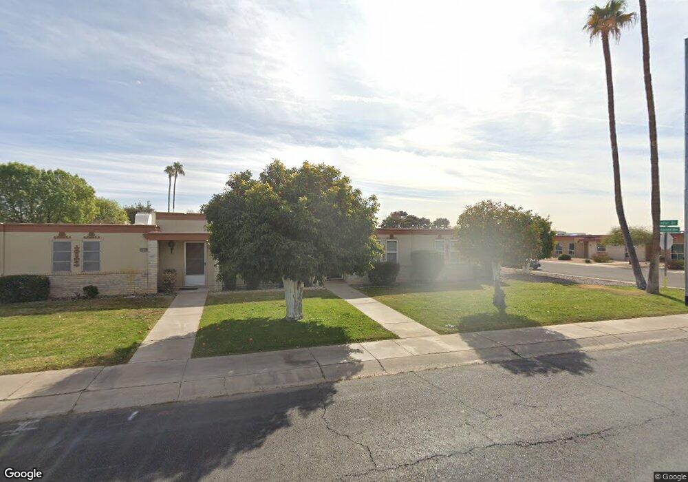
10149 W Thunderbird Blvd Sun City, AZ 85351
Estimated Value: $207,058 - $267,000
--
Bed
2
Baths
1,506
Sq Ft
$160/Sq Ft
Est. Value
About This Home
This home is located at 10149 W Thunderbird Blvd, Sun City, AZ 85351 and is currently estimated at $240,265, approximately $159 per square foot. 10149 W Thunderbird Blvd is a home located in Maricopa County with nearby schools including Desert Mirage Elementary School, Ombudsman - Northwest Charter, and Peoria Accelerated High School.
Ownership History
Date
Name
Owned For
Owner Type
Purchase Details
Closed on
Jan 11, 2016
Sold by
Mitchell Robert N and Mitchell Leona H
Bought by
Mitchell Robert N and Mitchell Leona H
Current Estimated Value
Purchase Details
Closed on
May 6, 2015
Sold by
Mitchell Robert N and Mitchell Leona H
Bought by
Mitchell Robert N and Mitchell Leona H
Purchase Details
Closed on
Sep 21, 1999
Sold by
Sims Randall L
Bought by
Mitchell Robert N and Mitchell Leona H
Create a Home Valuation Report for This Property
The Home Valuation Report is an in-depth analysis detailing your home's value as well as a comparison with similar homes in the area
Home Values in the Area
Average Home Value in this Area
Purchase History
| Date | Buyer | Sale Price | Title Company |
|---|---|---|---|
| Mitchell Robert N | -- | None Available | |
| Mitchell Robert N | -- | None Available | |
| Mitchell Robert N | $65,000 | First American Title |
Source: Public Records
Tax History Compared to Growth
Tax History
| Year | Tax Paid | Tax Assessment Tax Assessment Total Assessment is a certain percentage of the fair market value that is determined by local assessors to be the total taxable value of land and additions on the property. | Land | Improvement |
|---|---|---|---|---|
| 2025 | $656 | $8,261 | -- | -- |
| 2024 | $587 | $7,868 | -- | -- |
| 2023 | $587 | $17,260 | $3,450 | $13,810 |
| 2022 | $557 | $14,760 | $2,950 | $11,810 |
| 2021 | $575 | $13,560 | $2,710 | $10,850 |
| 2020 | $558 | $12,080 | $2,410 | $9,670 |
| 2019 | $552 | $10,320 | $2,060 | $8,260 |
| 2018 | $534 | $9,170 | $1,830 | $7,340 |
| 2017 | $256 | $7,630 | $1,520 | $6,110 |
| 2016 | $240 | $6,360 | $1,270 | $5,090 |
| 2015 | $229 | $5,900 | $1,180 | $4,720 |
Source: Public Records
Map
Nearby Homes
- 13442 N Emberwood Dr
- 13410 N Cedar Dr Unit 20
- 10040 W Royal Oak Rd Unit B
- 10040 W Royal Oak Rd Unit H
- 10030 W Royal Oak Rd Unit C
- 13067 N 100th Dr
- 13071 N 100th Dr
- 10112 W Forrester Dr
- 10114 W Candlewood Dr
- 13039 N 100th Dr
- 13433 N Emberwood Dr
- 13420 N Emberwood Dr
- 10127 W Forrester Dr
- 13050 N 100th Ave
- 10020 W Royal Oak Rd Unit E
- 13614 N Hawthorn Dr
- 13072 N 100th Ave
- 13054 N 100th Ave
- 10114 W Royal Oak Rd Unit 20
- 13620 N Hawthorn Dr
- 10147 W Thunderbird Blvd
- 10145 W Thunderbird Blvd
- 13249 N Cedar Dr Unit 24
- 13247 N Cedar Dr
- 13251 N Cedar Dr
- 10143 W Thunderbird Blvd
- 13245 N Cedar Dr
- 10141 W Thunderbird Blvd
- 13248 N Cedar Dr
- 13246 N Cedar Dr
- 10139 W Thunderbird Blvd
- 13244 N Cedar Dr
- 13243 N Cedar Dr
- 13242 N Cedar Dr Unit 24
- 13242 N Cedar Dr
- 13241 N Cedar Dr
- 13240 N Cedar Dr
- 13402 N Cedar Dr
- 13239 N Cedar Dr
- 13235 N Cedar Dr