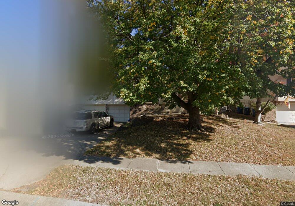
1015 Bristol Way Liberty, MO 64068
Estimated Value: $305,000 - $337,000
3
Beds
2
Baths
1,514
Sq Ft
$213/Sq Ft
Est. Value
About This Home
This home is located at 1015 Bristol Way, Liberty, MO 64068 and is currently estimated at $322,376, approximately $212 per square foot. 1015 Bristol Way is a home located in Clay County with nearby schools including Alexander Doniphan Elementary School, Liberty Middle School, and Liberty High School.
Ownership History
Date
Name
Owned For
Owner Type
Purchase Details
Closed on
Mar 6, 2023
Sold by
Kern Thomas Jay and Kern Judie Kate
Bought by
Kern Thomas Jay and Kern Judie Kate
Current Estimated Value
Purchase Details
Closed on
Sep 11, 2017
Sold by
Wills William Donald
Bought by
Wills Wendy
Purchase Details
Closed on
Nov 3, 2016
Sold by
Wills Wena Ann and Wills William Donald
Bought by
Wills Wenoy Ann and Wills William Donald
Purchase Details
Closed on
Aug 11, 1999
Sold by
Perry Edwin M and Perry Christine F
Bought by
Wills William D and Wills Wendy A
Home Financials for this Owner
Home Financials are based on the most recent Mortgage that was taken out on this home.
Original Mortgage
$120,500
Interest Rate
7.68%
Mortgage Type
VA
Create a Home Valuation Report for This Property
The Home Valuation Report is an in-depth analysis detailing your home's value as well as a comparison with similar homes in the area
Home Values in the Area
Average Home Value in this Area
Purchase History
| Date | Buyer | Sale Price | Title Company |
|---|---|---|---|
| Kern Thomas Jay | -- | None Listed On Document | |
| Wills Wendy | -- | None Available | |
| Wills Wenoy Ann | -- | None Available | |
| Wills William D | -- | United Title Company |
Source: Public Records
Mortgage History
| Date | Status | Borrower | Loan Amount |
|---|---|---|---|
| Previous Owner | Wills William D | $120,500 |
Source: Public Records
Tax History Compared to Growth
Tax History
| Year | Tax Paid | Tax Assessment Tax Assessment Total Assessment is a certain percentage of the fair market value that is determined by local assessors to be the total taxable value of land and additions on the property. | Land | Improvement |
|---|---|---|---|---|
| 2025 | $3,281 | $49,020 | -- | -- |
| 2024 | $3,281 | $42,660 | -- | -- |
| 2023 | $3,337 | $42,660 | $0 | $0 |
| 2022 | $3,087 | $38,970 | $0 | $0 |
| 2021 | $3,063 | $38,969 | $7,220 | $31,749 |
| 2020 | $2,649 | $31,650 | $0 | $0 |
| 2019 | $2,649 | $31,654 | $5,510 | $26,144 |
| 2018 | $2,533 | $29,720 | $0 | $0 |
| 2017 | $2,428 | $29,720 | $4,560 | $25,160 |
| 2016 | $2,428 | $28,750 | $4,560 | $24,190 |
| 2015 | $2,428 | $28,750 | $4,560 | $24,190 |
| 2014 | $2,331 | $27,380 | $4,370 | $23,010 |
Source: Public Records
Map
Nearby Homes
- 1105 Bristol Way
- 918 Amesbury Ave
- 862 Amesbury Ave
- 1124 Amesbury Ave
- 1218 Canterbury Ln
- 716 Bristol Ct
- 1331 Park Ln
- 1323 Amesbury Ave
- 1317 Park Ln
- 1209 Liberty Drive Terrace
- 1304 Wellington Way
- 1507 Amesbury Ave
- 415 Monterey Ave
- 1537 Canterbury Ln
- 1327 Easton Ct
- 509 Belmont St
- 1733 Welleslay Ln
- 420 Belmont St
- 1025 Orchard Ave
- 1030 Maple Woods Dr
- 1021 Bristol Way
- 1009 Bristol Way
- 1018 Canterbury Ln
- 1024 Canterbury Ln
- 1027 Bristol Way
- 1003 Bristol Way
- 1012 Canterbury Ln
- 1030 Canterbury Ln
- 1014 Bristol Way
- 1020 Bristol Way
- 1006 Canterbury Ln
- 937 Bristol Way
- 1033 Bristol Way
- 1026 Bristol Way
- 1002 Bristol Way
- 1036 Canterbury Ln
- 1000 Canterbury Ln
- 1032 Bristol Way
- 931 Bristol Way
- 932 Bristol Way