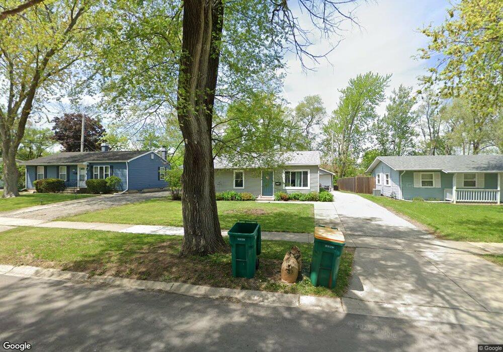
1015 Cypress Ln Unit 6 Joliet, IL 60435
Southwest Joliet NeighborhoodEstimated Value: $191,711 - $257,000
--
Bed
--
Bath
925
Sq Ft
$252/Sq Ft
Est. Value
About This Home
This home is located at 1015 Cypress Ln Unit 6, Joliet, IL 60435 and is currently estimated at $232,678, approximately $251 per square foot. 1015 Cypress Ln Unit 6 is a home located in Will County with nearby schools including Carl Sandburg Elementary School, Hufford Junior High School, and Joliet West High School.
Ownership History
Date
Name
Owned For
Owner Type
Purchase Details
Closed on
Jul 13, 2000
Sold by
Billman Marc and Estate Of Dominic L Tomazzio
Bought by
First National Bank Of Joliet and Land Trust #4727
Current Estimated Value
Home Financials for this Owner
Home Financials are based on the most recent Mortgage that was taken out on this home.
Original Mortgage
$62,298
Interest Rate
8.31%
Create a Home Valuation Report for This Property
The Home Valuation Report is an in-depth analysis detailing your home's value as well as a comparison with similar homes in the area
Home Values in the Area
Average Home Value in this Area
Purchase History
| Date | Buyer | Sale Price | Title Company |
|---|---|---|---|
| First National Bank Of Joliet | $63,000 | -- |
Source: Public Records
Mortgage History
| Date | Status | Borrower | Loan Amount |
|---|---|---|---|
| Closed | First National Bank Of Joliet | $62,298 |
Source: Public Records
Tax History Compared to Growth
Tax History
| Year | Tax Paid | Tax Assessment Tax Assessment Total Assessment is a certain percentage of the fair market value that is determined by local assessors to be the total taxable value of land and additions on the property. | Land | Improvement |
|---|---|---|---|---|
| 2024 | $5,190 | $61,962 | $17,245 | $44,717 |
| 2023 | $5,190 | $55,053 | $15,322 | $39,731 |
| 2022 | $4,599 | $49,799 | $13,860 | $35,939 |
| 2021 | $4,371 | $46,511 | $12,945 | $33,566 |
| 2020 | $4,147 | $44,170 | $12,293 | $31,877 |
| 2019 | $3,945 | $41,050 | $11,425 | $29,625 |
| 2018 | $3,780 | $37,932 | $10,557 | $27,375 |
| 2017 | $3,562 | $34,487 | $9,598 | $24,889 |
| 2016 | $3,410 | $31,729 | $8,799 | $22,930 |
| 2015 | $3,229 | $29,750 | $8,250 | $21,500 |
| 2014 | $3,229 | $29,600 | $8,200 | $21,400 |
| 2013 | $3,229 | $30,998 | $9,137 | $21,861 |
Source: Public Records
Map
Nearby Homes
- 1007 Pearson Dr
- 905 Brentwood Dr
- 2525 Park Ridge Ct Unit 2525
- 7 Rock Run Dr
- 901 Gael Dr Unit B
- 8 Rock Run Dr
- 1221 Cedarwood Dr Unit F
- 2390 Bicentennial Ave
- 2116 Black Rd
- 701 Terry Dr
- 1472 N Rock Run Dr Unit 1B
- 712 Homestead Place
- 613 Westnedge Rd
- 725 Prestige St
- 1206 Pleasant Knoll Dr
- 620 Tana Ln
- 1521 Pioneer Rd Unit 7
- 1919 Carousel Ct
- 509 Kungs Way
- 1911 Mayan Ct
- 1017 Cypress Ln
- 1013 Cypress Ln
- 1019 Cypress Ln
- 1101 Elizabeth Ct Unit 17
- 1101 Elizabeth Ct Unit 3
- 1101 Elizabeth Ct Unit 3
- 1101 Elizabeth Ct
- 1101 Elizabeth Ct Unit 1
- 1101 Elizabeth Ct Unit 4
- 1101 Elizabeth Ct Unit 2
- 1101 Elizabeth Ct Unit 3
- 1101 Elizabeth Ct Unit 17
- 1014 Cypress Ln
- 1021 Cypress Ln
- 1103 Elizabeth Ct Unit 1
- 1103 Elizabeth Ct Unit 4
- 1103 Elizabeth Ct
- 1103 Elizabeth Ct Unit 7
- 1103 Elizabeth Ct Unit 4
- 1103 Elizabeth Ct Unit 1