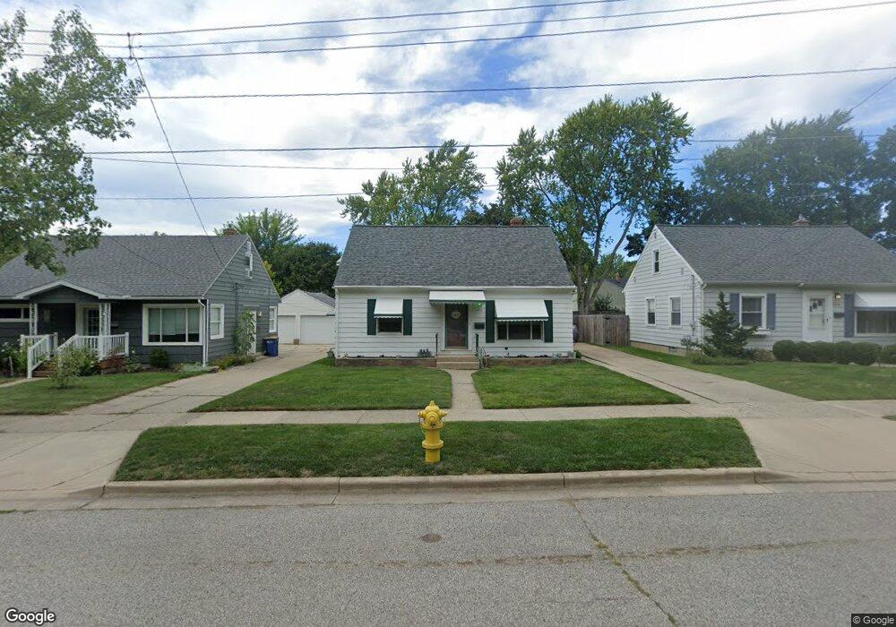
1015 Drexel Dr NE Grand Rapids, MI 49505
Creston NeighborhoodEstimated Value: $261,268 - $293,000
3
Beds
2
Baths
1
Sq Ft
$279,567/Sq Ft
Est. Value
About This Home
This home is located at 1015 Drexel Dr NE, Grand Rapids, MI 49505 and is currently estimated at $279,567, approximately $279,567 per square foot. 1015 Drexel Dr NE is a home located in Kent County with nearby schools including Kent Hills School, Riverside Middle School, and Union High School.
Ownership History
Date
Name
Owned For
Owner Type
Purchase Details
Closed on
Feb 12, 2004
Sold by
Larsen Rowdy Lee and Larsen Jeanne Marie
Bought by
Larsen Jeanne Marie
Current Estimated Value
Purchase Details
Closed on
May 2, 1995
Sold by
Brown Brown T T and Brown Larsen R
Bought by
Larsen Larsen R and Larsen Jeanne Marie
Purchase Details
Closed on
Jul 15, 1993
Sold by
Harding Harding J J and Harding Brown T
Bought by
Larsen Jeanne Marie
Purchase Details
Closed on
Sep 11, 1989
Purchase Details
Closed on
Nov 26, 1985
Create a Home Valuation Report for This Property
The Home Valuation Report is an in-depth analysis detailing your home's value as well as a comparison with similar homes in the area
Home Values in the Area
Average Home Value in this Area
Purchase History
| Date | Buyer | Sale Price | Title Company |
|---|---|---|---|
| Larsen Jeanne Marie | -- | -- | |
| Larsen Larsen R | $100 | -- | |
| Larsen Jeanne Marie | $66,000 | -- | |
| -- | $58,500 | -- | |
| -- | $47,000 | -- |
Source: Public Records
Tax History Compared to Growth
Tax History
| Year | Tax Paid | Tax Assessment Tax Assessment Total Assessment is a certain percentage of the fair market value that is determined by local assessors to be the total taxable value of land and additions on the property. | Land | Improvement |
|---|---|---|---|---|
| 2025 | $1,434 | $115,100 | $0 | $0 |
| 2024 | $1,434 | $105,700 | $0 | $0 |
| 2023 | $1,455 | $89,900 | $0 | $0 |
| 2022 | $1,382 | $77,100 | $0 | $0 |
| 2021 | $1,351 | $70,300 | $0 | $0 |
| 2020 | $1,291 | $65,900 | $0 | $0 |
| 2019 | $1,306 | $52,100 | $0 | $0 |
| 2018 | $1,306 | $48,200 | $0 | $0 |
| 2017 | $1,271 | $44,600 | $0 | $0 |
| 2016 | $1,287 | $40,100 | $0 | $0 |
| 2015 | $1,197 | $40,100 | $0 | $0 |
| 2013 | -- | $35,200 | $0 | $0 |
Source: Public Records
Map
Nearby Homes
- 1119 Kentwood Dr NE
- 1824 Herrick Ave NE
- 1848 Emerald Ave NE
- 1237 Dale Ct NE
- 1757 Westlane Dr NE
- 1825 Meadowfield Dr NE
- 1119 Spencer St NE
- 1666 Carlton Ave NE
- 1339 Fuller Ave NE
- 1256 Diamond Ave NE
- 1335 Knapp St NE
- 1444 Sweet St NE
- 2100 Dawson Ave NE
- 1452 Carlton Ave NE
- 2027 Joan Ave NE
- 1228 Spring Ave NE
- 2038 Melita Ave NE
- 1233 Emerald Ave NE
- 738 Graceland St NE
- 1411 Union Ave NE
- 1019 Drexel Dr NE
- 1009 Drexel Dr NE
- 1025 Drexel Dr NE
- 1708 Diamond Ave NE
- 1014 Kentwood St NE
- 1008 Kentwood St NE
- 1018 Kentwood St NE
- 1029 Drexel Dr NE
- 1008 Kentwood Dr NE
- 1024 Kentwood St NE
- 1720 Diamond Ave NE
- 1016 Drexel Dr NE
- 1035 Drexel Dr NE
- 1022 Drexel Dr NE
- 1650 Diamond Ave NE
- 1650 Diamond Ave NE Unit 1652
- 1028 Kentwood St NE
- 1028 Drexel Dr NE
- 1039 Drexel Dr NE
- 1705 Diamond Ave NE