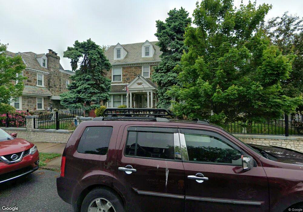
1015 Haworth St Philadelphia, PA 19124
Frankford NeighborhoodEstimated Value: $344,000 - $374,000
--
Bed
--
Bath
2,350
Sq Ft
$154/Sq Ft
Est. Value
About This Home
This home is located at 1015 Haworth St, Philadelphia, PA 19124 and is currently estimated at $362,882, approximately $154 per square foot. 1015 Haworth St is a home located in Philadelphia County with nearby schools including Frankford High School, The Philadelphia Charter School for the Arts & Sciences, and Northwood Academy Charter School.
Ownership History
Date
Name
Owned For
Owner Type
Purchase Details
Closed on
Apr 27, 2001
Sold by
Loos Richard J and Estate Of Joyce H Loos
Bought by
Colon Luis N
Current Estimated Value
Home Financials for this Owner
Home Financials are based on the most recent Mortgage that was taken out on this home.
Original Mortgage
$80,000
Outstanding Balance
$34,582
Interest Rate
9.55%
Estimated Equity
$328,300
Create a Home Valuation Report for This Property
The Home Valuation Report is an in-depth analysis detailing your home's value as well as a comparison with similar homes in the area
Home Values in the Area
Average Home Value in this Area
Purchase History
| Date | Buyer | Sale Price | Title Company |
|---|---|---|---|
| Colon Luis N | $155,000 | -- |
Source: Public Records
Mortgage History
| Date | Status | Borrower | Loan Amount |
|---|---|---|---|
| Open | Colon Luis N | $80,000 |
Source: Public Records
Tax History Compared to Growth
Tax History
| Year | Tax Paid | Tax Assessment Tax Assessment Total Assessment is a certain percentage of the fair market value that is determined by local assessors to be the total taxable value of land and additions on the property. | Land | Improvement |
|---|---|---|---|---|
| 2026 | $3,975 | $354,200 | $70,800 | $283,400 |
| 2025 | $3,975 | $354,200 | $70,800 | $283,400 |
| 2024 | $3,975 | $354,200 | $70,800 | $283,400 |
| 2023 | $3,975 | $284,000 | $56,800 | $227,200 |
| 2022 | $2,237 | $239,000 | $56,800 | $182,200 |
| 2021 | $2,867 | $0 | $0 | $0 |
| 2020 | $2,867 | $0 | $0 | $0 |
| 2019 | $2,858 | $0 | $0 | $0 |
| 2018 | $2,865 | $0 | $0 | $0 |
| 2017 | $2,865 | $0 | $0 | $0 |
| 2016 | $2,865 | $0 | $0 | $0 |
| 2015 | $2,743 | $0 | $0 | $0 |
| 2014 | -- | $204,700 | $98,400 | $106,300 |
| 2012 | -- | $23,808 | $4,976 | $18,832 |
Source: Public Records
Map
Nearby Homes
- 1052 Allengrove St
- 1859 Harrison St
- 1048 Bridge St
- 4046 E Roosevelt Blvd
- 1208 Haworth St
- 1204 Pratt St
- 1214 Haworth St
- 1218 Pratt St
- 1220 Pratt St
- 5505 Loretto Ave
- 1137 Bridge St
- 5118 Oakland St
- 926 Foulkrod St
- 4717 Northwood St
- 5640 Miriam Rd
- 5659 Miriam Rd
- 5661 Miriam Rd
- 1001-3 Arrott St
- 5033 Akron St
- 1300 Harrison St
- 1013 Haworth St
- 1011 Haworth St
- 1020 Dyre St
- 1009 Haworth St
- 1014 Haworth St
- 1012 Haworth St
- 1007 Haworth St
- 1010 Haworth St
- 1010 Dyre St
- 1008 Haworth St
- 1005 Haworth St
- 1006 Haworth St
- 1003 Haworth St
- 1004 Haworth St
- 1033 Wakeling St
- 1029 Wakeling St
- 1027 Wakeling St
- 1000 Dyre St
- 1002 Haworth St
- 1021 Wakeling St