1015 Herrst Dr Chelsea, MI 48118
Estimated Value: $529,000 - $639,000
4
Beds
3
Baths
2,440
Sq Ft
$234/Sq Ft
Est. Value
About This Home
This home is located at 1015 Herrst Dr, Chelsea, MI 48118 and is currently estimated at $571,081, approximately $234 per square foot. 1015 Herrst Dr is a home located in Washtenaw County with nearby schools including North Creek Elementary School, South Meadows Elementary School, and Beach Middle School.
Ownership History
Date
Name
Owned For
Owner Type
Purchase Details
Closed on
Jan 9, 2015
Sold by
Shaffer Leonard A and Shaffer Karen A
Bought by
Trustees Of The Shaffer Revocable Living
Current Estimated Value
Purchase Details
Closed on
Oct 17, 1994
Sold by
Dennitom Dev Inc
Bought by
Leonard A Shaffer
Home Financials for this Owner
Home Financials are based on the most recent Mortgage that was taken out on this home.
Original Mortgage
$130,000
Interest Rate
8.53%
Mortgage Type
New Conventional
Create a Home Valuation Report for This Property
The Home Valuation Report is an in-depth analysis detailing your home's value as well as a comparison with similar homes in the area
Home Values in the Area
Average Home Value in this Area
Purchase History
| Date | Buyer | Sale Price | Title Company |
|---|---|---|---|
| Trustees Of The Shaffer Revocable Living | -- | None Available | |
| Leonard A Shaffer | -- | -- |
Source: Public Records
Mortgage History
| Date | Status | Borrower | Loan Amount |
|---|---|---|---|
| Closed | Leonard A Shaffer | $130,000 |
Source: Public Records
Tax History Compared to Growth
Tax History
| Year | Tax Paid | Tax Assessment Tax Assessment Total Assessment is a certain percentage of the fair market value that is determined by local assessors to be the total taxable value of land and additions on the property. | Land | Improvement |
|---|---|---|---|---|
| 2025 | $6,374 | $250,500 | $0 | $0 |
| 2024 | $2,002 | $242,600 | $0 | $0 |
| 2023 | $1,907 | $239,300 | $0 | $0 |
| 2022 | $6,274 | $225,000 | $0 | $0 |
| 2021 | $6,104 | $241,400 | $0 | $0 |
| 2020 | $6,041 | $243,600 | $0 | $0 |
| 2019 | $5,882 | $284,100 | $284,100 | $0 |
| 2018 | $5,745 | $178,200 | $0 | $0 |
| 2017 | $3,776 | $176,800 | $0 | $0 |
| 2016 | $0 | $154,261 | $0 | $0 |
| 2015 | -- | $153,800 | $0 | $0 |
| 2014 | -- | $148,995 | $0 | $0 |
| 2013 | -- | $148,995 | $0 | $0 |
Source: Public Records
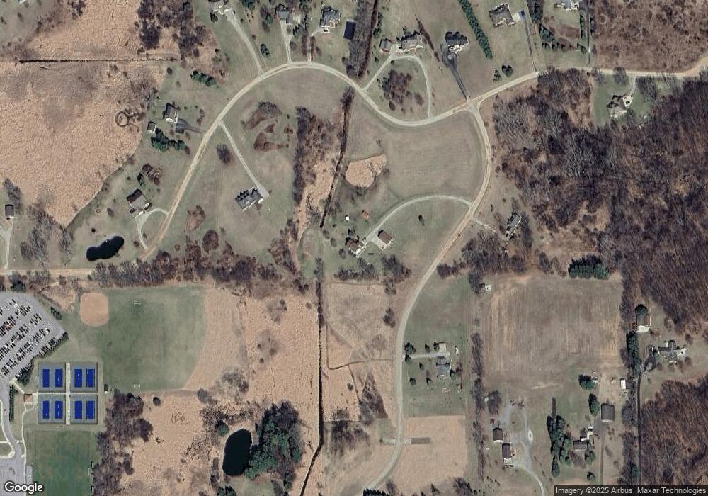
Map
Nearby Homes
- 13440 Meadowview Dr
- 13333 Trinkle Rd
- 1374 Provincial Dr
- 0 N Freer Rd Unit 25015352
- 706 Knollwood Bend
- 707 Knollwood Bend
- 719 Knollwood Bend
- 725 Knollwood Bend
- 684 Countryside Dr
- 0 N Fletcher Rd Unit 25043406
- 660 Countryside Dr
- 651 Countryside Dr
- 123 S Freer Rd
- Juliet Plan at Heritage Farms
- Sawyer Plan at Heritage Farms
- 516 Heritage Farms Blvd
- Aubrey Plan at Heritage Farms
- Brooklyn Plan at Heritage Farms
- Peyton Plan at Heritage Farms
- 460 Fairways Ln
- 13386 Trinkle Rd
- 1018 Herrst Dr
- 1002 Herrst Dr
- 13581 Meadowview Dr
- 13300 Meadowview Dr
- 13246 Meadowview Dr
- 13340 Meadowview Dr
- 13380 Meadowview Dr
- 13512 Meadowview Dr
- 13480 Meadowview Dr
- 13240 Meadowview Dr
- 13181 Meadowview Dr
- 12950 Trinkle Rd
- 13148 Trinkle Rd
- 13428 Trinkle Rd
- 13500 Trinkle Rd
- 13200 Meadowview Dr
- 1000 Herrst Dr
- 13095 Meadowview Dr
- 13421 Trinkle Rd