1015 Highway T Bolivar, MO 65613
Estimated Value: $218,000 - $336,000
3
Beds
3
Baths
1,463
Sq Ft
$196/Sq Ft
Est. Value
About This Home
This home is located at 1015 Highway T, Bolivar, MO 65613 and is currently estimated at $287,036, approximately $196 per square foot. 1015 Highway T is a home with nearby schools including Bolivar Primary School, Bolivar Intermediate School, and Bolivar Middle School.
Ownership History
Date
Name
Owned For
Owner Type
Purchase Details
Closed on
Nov 25, 2020
Sold by
Moore Lisa F and Moore Terry
Bought by
Acker Christopher Michael
Current Estimated Value
Home Financials for this Owner
Home Financials are based on the most recent Mortgage that was taken out on this home.
Original Mortgage
$89,898
Outstanding Balance
$80,179
Interest Rate
2.8%
Mortgage Type
Construction
Estimated Equity
$206,857
Create a Home Valuation Report for This Property
The Home Valuation Report is an in-depth analysis detailing your home's value as well as a comparison with similar homes in the area
Home Values in the Area
Average Home Value in this Area
Purchase History
| Date | Buyer | Sale Price | Title Company |
|---|---|---|---|
| Acker Christopher Michael | $112,372 | -- |
Source: Public Records
Mortgage History
| Date | Status | Borrower | Loan Amount |
|---|---|---|---|
| Open | Acker Christopher Michael | $89,898 |
Source: Public Records
Tax History Compared to Growth
Tax History
| Year | Tax Paid | Tax Assessment Tax Assessment Total Assessment is a certain percentage of the fair market value that is determined by local assessors to be the total taxable value of land and additions on the property. | Land | Improvement |
|---|---|---|---|---|
| 2024 | $10 | $19,140 | $0 | $0 |
| 2023 | $1,035 | $19,140 | $0 | $0 |
| 2022 | $951 | $18,440 | $0 | $0 |
| 2021 | $947 | $18,440 | $0 | $0 |
| 2020 | $766 | $14,790 | $0 | $0 |
| 2019 | $766 | $14,790 | $0 | $0 |
| 2018 | $777 | $14,800 | $0 | $0 |
| 2017 | $774 | $14,800 | $0 | $0 |
| 2016 | $774 | $14,800 | $0 | $0 |
| 2015 | -- | $14,800 | $0 | $0 |
| 2014 | -- | $14,790 | $0 | $0 |
Source: Public Records
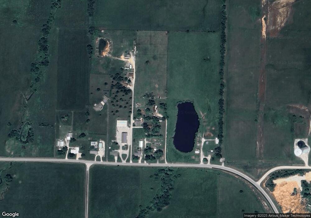
Map
Nearby Homes
- 000 Missouri 13
- 000 S Wommack Ave
- 009 S Killingsworth Ave
- 2306 W Auburn St
- 4525 S 107th Rd
- 000 S 107th Rd
- 1030 S Birum Ave
- 2011 W Northwood St
- 2590 W Broadway St
- 1660 S Meadow Ln
- 002 S Faith Ct
- 003 S Faith Ct
- 2385 S Cheri Dr
- 2380 S Cheri Dr
- 575 N Lemmon Ave
- 3760 W Riley St
- 3780 W Riley St
- Tbd W Broadway St
- 2203 W Broadway St
- 3840 W Riley St
- 1009 Highway T
- 1013 Highway T
- 1003 Highway T
- 1005 Highway T
- 1007 Highway T
- 1001 Highway T
- 1021 Hwy T
- 995 Highway T
- 1030 E 444th Rd
- 2601 Tower Dr
- 972 Highway T
- 1803 S Colony Ave
- 1819 S Colony Ave
- 1903 S Colony Ave
- 1804 S Colony Ave
- 1919 S Colony Ave
- 1822 S Colony Ave
- 1033 E 444th Rd
- 1027 E 444th Rd
- 1904 S Colony Ave