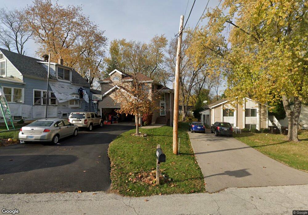
1015 James St Wauconda, IL 60084
Estimated Value: $303,000 - $362,000
3
Beds
3
Baths
1,532
Sq Ft
$214/Sq Ft
Est. Value
About This Home
This home is located at 1015 James St, Wauconda, IL 60084 and is currently estimated at $328,305, approximately $214 per square foot. 1015 James St is a home located in Lake County with nearby schools including Wauconda Grade School, Wauconda Middle School, and Wauconda High School.
Ownership History
Date
Name
Owned For
Owner Type
Purchase Details
Closed on
Jun 24, 2005
Sold by
Gibbard Michael J and Gibbard Mary E
Bought by
Merevick Brian and Merevick Tracey E
Current Estimated Value
Home Financials for this Owner
Home Financials are based on the most recent Mortgage that was taken out on this home.
Original Mortgage
$192,000
Interest Rate
5.66%
Mortgage Type
Fannie Mae Freddie Mac
Purchase Details
Closed on
Aug 8, 1994
Sold by
Wrightson William T
Bought by
Gibbard Michael J and Gibbard Mary E
Home Financials for this Owner
Home Financials are based on the most recent Mortgage that was taken out on this home.
Original Mortgage
$143,350
Interest Rate
5.12%
Create a Home Valuation Report for This Property
The Home Valuation Report is an in-depth analysis detailing your home's value as well as a comparison with similar homes in the area
Home Values in the Area
Average Home Value in this Area
Purchase History
| Date | Buyer | Sale Price | Title Company |
|---|---|---|---|
| Merevick Brian | $240,000 | Attorneys Title Guaranty Fun | |
| Gibbard Michael J | $151,000 | Preferred Land Title |
Source: Public Records
Mortgage History
| Date | Status | Borrower | Loan Amount |
|---|---|---|---|
| Previous Owner | Merevick Brian | $192,000 | |
| Previous Owner | Gibbard Michael J | $143,350 |
Source: Public Records
Tax History
| Year | Tax Paid | Tax Assessment Tax Assessment Total Assessment is a certain percentage of the fair market value that is determined by local assessors to be the total taxable value of land and additions on the property. | Land | Improvement |
|---|---|---|---|---|
| 2024 | $6,746 | $83,867 | $11,445 | $72,422 |
| 2023 | $6,746 | $76,661 | $10,462 | $66,199 |
| 2022 | $7,468 | $74,443 | $13,341 | $61,102 |
| 2021 | $7,122 | $70,342 | $12,606 | $57,736 |
| 2020 | $6,888 | $67,044 | $12,015 | $55,029 |
| 2019 | $6,113 | $63,362 | $11,355 | $52,007 |
| 2018 | $5,484 | $53,707 | $13,465 | $40,242 |
| 2017 | $5,478 | $53,086 | $13,309 | $39,777 |
| 2016 | $5,131 | $50,271 | $12,603 | $37,668 |
| 2015 | $4,801 | $46,150 | $11,570 | $34,580 |
| 2014 | $5,807 | $50,386 | $12,994 | $37,392 |
| 2012 | $5,668 | $55,738 | $12,431 | $43,307 |
Source: Public Records
Map
Nearby Homes
- 1017 Grand Blvd
- 905 Grand Blvd
- 1260 Water Stone Cir
- 1114 Jackson Ave
- 818 Sheridan Dr
- 701 Lake Shore Dr
- 0 Bonner Rd
- 28722 N Madison Ave
- 518 Nancy Ct
- 505 Woodland Ave
- 428 Country Lane Ct Unit 301
- 417 Lake Shore Blvd
- 902 Highland Ave
- 28855 N Garland Rd
- 25817 W Cook St
- 365 Lake Ave Unit C
- 304 Hill St Unit 1004
- 360 Promontory Ln Unit B
- 360 Promontory Ln Unit D
- 235 Crestview Dr Unit A
- 1013 James St
- 1017 James St
- 1021 James St
- 1022 Pershing Dr
- 1018 James St
- 1012 Pershing Dr
- 1001 Sheridan Dr
- 1015 Sheridan Dr
- 1016 Edward Place
- 1017 Sheridan Dr
- 1104 Park Ave
- 995 Sheridan Dr
- 1022 Edward Place
- 1020 Edward Place
- 1008 Pershing Dr
- 1006 Sheridan Dr
- 1024 Edward Place
- 1018 Edward Place
- 1019 Sheridan Dr
- 1019 Sheridan Dr Unit A
Your Personal Tour Guide
Ask me questions while you tour the home.