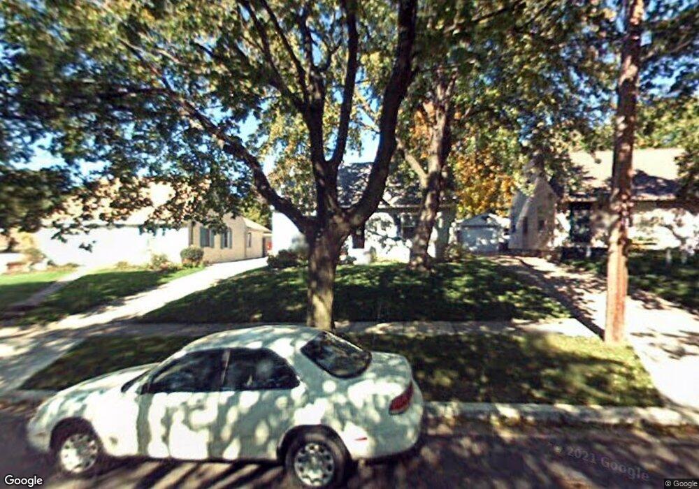
1015 Kentwood St NE Grand Rapids, MI 49505
Creston NeighborhoodEstimated Value: $267,128 - $346,000
3
Beds
1
Bath
1,283
Sq Ft
$231/Sq Ft
Est. Value
About This Home
This home is located at 1015 Kentwood St NE, Grand Rapids, MI 49505 and is currently estimated at $296,782, approximately $231 per square foot. 1015 Kentwood St NE is a home located in Kent County with nearby schools including Kent Hills School, Riverside Middle School, and Union High School.
Ownership History
Date
Name
Owned For
Owner Type
Purchase Details
Closed on
Jul 15, 1999
Sold by
Lckwd and Lckwd D
Bought by
Knght and Knght Flnn
Current Estimated Value
Purchase Details
Closed on
Jun 2, 1997
Sold by
Fey Fey S S and Fey Lockwood M
Bought by
Lockwood Lockwood M and Lockwood D
Create a Home Valuation Report for This Property
The Home Valuation Report is an in-depth analysis detailing your home's value as well as a comparison with similar homes in the area
Home Values in the Area
Average Home Value in this Area
Purchase History
| Date | Buyer | Sale Price | Title Company |
|---|---|---|---|
| Knght | $88,900 | -- | |
| Lockwood Lockwood M | $79,000 | -- |
Source: Public Records
Tax History Compared to Growth
Tax History
| Year | Tax Paid | Tax Assessment Tax Assessment Total Assessment is a certain percentage of the fair market value that is determined by local assessors to be the total taxable value of land and additions on the property. | Land | Improvement |
|---|---|---|---|---|
| 2025 | $1,532 | $107,000 | $0 | $0 |
| 2024 | $1,532 | $97,000 | $0 | $0 |
| 2023 | $1,555 | $81,500 | $0 | $0 |
| 2022 | $1,476 | $70,300 | $0 | $0 |
| 2021 | $1,443 | $64,100 | $0 | $0 |
| 2020 | $1,380 | $59,500 | $0 | $0 |
| 2019 | $1,379 | $52,300 | $0 | $0 |
| 2018 | $1,332 | $48,500 | $0 | $0 |
| 2017 | $1,297 | $44,700 | $0 | $0 |
| 2016 | $1,313 | $40,500 | $0 | $0 |
| 2015 | $1,221 | $40,500 | $0 | $0 |
| 2013 | -- | $35,900 | $0 | $0 |
Source: Public Records
Map
Nearby Homes
- 1119 Kentwood Dr NE
- 1824 Herrick Ave NE
- 1848 Emerald Ave NE
- 1825 Meadowfield Dr NE
- 1757 Westlane Dr NE
- 1237 Dale Ct NE
- 1119 Spencer St NE
- 1335 Knapp St NE
- 2100 Dawson Ave NE
- 2027 Joan Ave NE
- 1339 Fuller Ave NE
- 2038 Melita Ave NE
- 738 Graceland St NE
- 921 Eleanor St NE
- 1444 Sweet St NE
- 1256 Diamond Ave NE
- 1452 Carlton Ave NE
- 612 Woodridge St NE
- 778 Eleanor St NE
- 1228 Spring Ave NE
- 1019 Kentwood St NE
- 1009 Kentwood St NE
- 1025 Kentwood St NE
- 1740 Diamond Ave NE
- 1025 Kentwood Dr NE
- 1029 Kentwood St NE
- 1014 Washtenaw St NE
- 1014 Washtenaw Dr NE
- 1008 Washtenaw St NE
- 1018 Washtenaw St NE
- 1018 Washtenaw Dr NE
- 1035 Kentwood St NE
- 1024 Washtenaw St NE
- 1008 Kentwood Dr NE
- 1014 Kentwood St NE
- 1018 Kentwood St NE
- 1008 Kentwood St NE
- 1039 Kentwood St NE
- 1024 Kentwood St NE
- 1720 Diamond Ave NE