Estimated Value: $115,000 - $250,000
3
Beds
2
Baths
1,872
Sq Ft
$106/Sq Ft
Est. Value
About This Home
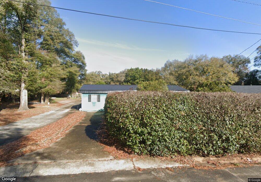
This home is located at 1015 King Blvd, Perry, GA 31069 and is currently estimated at $198,228, approximately $105 per square foot. 1015 King Blvd is a home located in Houston County with nearby schools including Morningside Elementary School, Perry Middle School, and Perry High School.
Ownership History
Date
Name
Owned For
Owner Type
Purchase Details
Closed on
May 1, 1976
Sold by
Secretary Of Housing & Urban Dev
Bought by
Brown Leonard and Brown Bernice H
Current Estimated Value
Purchase Details
Closed on
Oct 18, 1973
Sold by
Federal National Mortgage Asso
Bought by
Secretary Of Housing & Urban Dev
Purchase Details
Closed on
Oct 2, 1973
Sold by
Woolfolk Horace W and Ruby Jean
Bought by
Federal National Mortgage Assoc
Purchase Details
Closed on
Apr 7, 1971
Sold by
System Structures Ltd
Bought by
Woolfolk Horace W and Ruby Jean
Create a Home Valuation Report for This Property
The Home Valuation Report is an in-depth analysis detailing your home's value as well as a comparison with similar homes in the area
Home Values in the Area
Average Home Value in this Area
Purchase History
| Date | Buyer | Sale Price | Title Company |
|---|---|---|---|
| Brown Leonard | -- | -- | |
| Secretary Of Housing & Urban Dev | -- | -- | |
| Federal National Mortgage Assoc | -- | -- | |
| Woolfolk Horace W | -- | -- |
Source: Public Records
Tax History Compared to Growth
Tax History
| Year | Tax Paid | Tax Assessment Tax Assessment Total Assessment is a certain percentage of the fair market value that is determined by local assessors to be the total taxable value of land and additions on the property. | Land | Improvement |
|---|---|---|---|---|
| 2024 | $1,517 | $42,520 | $3,520 | $39,000 |
| 2023 | $1,269 | $35,560 | $3,520 | $32,040 |
| 2022 | $537 | $25,360 | $3,520 | $21,840 |
| 2021 | $487 | $23,080 | $3,520 | $19,560 |
| 2020 | $486 | $22,920 | $3,520 | $19,400 |
| 2019 | $486 | $22,920 | $3,520 | $19,400 |
| 2018 | $486 | $22,920 | $3,520 | $19,400 |
| 2017 | $486 | $22,920 | $3,520 | $19,400 |
| 2016 | $487 | $22,920 | $3,520 | $19,400 |
| 2015 | $488 | $22,920 | $3,520 | $19,400 |
| 2014 | -- | $22,920 | $3,520 | $19,400 |
| 2013 | -- | $22,920 | $3,520 | $19,400 |
Source: Public Records
Map
Nearby Homes
- 1110 Creekwood Dr
- 132 Bramblewood Ln
- 118 Bramblewood Ln
- 1100 Creekwood Dr
- 202 Obsidian Dr
- 1343 Wf Ragin Dr
- 1335 Ball St
- 1211 Jewell Dr
- 126 Bramblewood Ln
- 104 Pridgen Pass
- 113 Pridgen Pass
- 1312 Sam Nunn Blvd
- 713 Walcott St
- The Pearson Plan at Avalon
- The Crawford Plan at Avalon
- The Piedmont Plan at Avalon
- The Lawson Plan at Avalon
- The Coleman Plan at Avalon
- The McGinnis Plan at Avalon
- The Harrington Plan at Avalon