1015 Lakeshore Dr de Soto, MO 63020
Estimated Value: $287,000 - $341,000
Studio
--
Bath
1,548
Sq Ft
$208/Sq Ft
Est. Value
About This Home
This home is located at 1015 Lakeshore Dr, de Soto, MO 63020 and is currently estimated at $321,472, approximately $207 per square foot. 1015 Lakeshore Dr is a home located in Jefferson County with nearby schools including Hillsboro Elementary School, Hillsboro Primary School, and Hillsboro Middle Elementary School.
Ownership History
Date
Name
Owned For
Owner Type
Purchase Details
Closed on
Oct 8, 2015
Sold by
Rowe Steven H
Bought by
Hurocy Jerry D and Hurocy Jean M
Current Estimated Value
Purchase Details
Closed on
Nov 30, 2006
Sold by
Holman Randy and Holman Tammy L
Bought by
Hurocy Jerry and Hurcoy Jean
Home Financials for this Owner
Home Financials are based on the most recent Mortgage that was taken out on this home.
Original Mortgage
$154,320
Interest Rate
6.41%
Mortgage Type
New Conventional
Create a Home Valuation Report for This Property
The Home Valuation Report is an in-depth analysis detailing your home's value as well as a comparison with similar homes in the area
Home Values in the Area
Average Home Value in this Area
Purchase History
| Date | Buyer | Sale Price | Title Company |
|---|---|---|---|
| Hurocy Jerry D | -- | None Available | |
| Hurocy Jerry | -- | Commonwealth Land Title |
Source: Public Records
Mortgage History
| Date | Status | Borrower | Loan Amount |
|---|---|---|---|
| Previous Owner | Hurocy Jerry | $154,320 |
Source: Public Records
Tax History
| Year | Tax Paid | Tax Assessment Tax Assessment Total Assessment is a certain percentage of the fair market value that is determined by local assessors to be the total taxable value of land and additions on the property. | Land | Improvement |
|---|---|---|---|---|
| 2025 | $2,133 | $39,000 | $4,000 | $35,000 |
| 2024 | $2,133 | $34,100 | $4,000 | $30,100 |
| 2023 | $2,133 | $34,100 | $4,000 | $30,100 |
| 2022 | $2,264 | $34,100 | $4,000 | $30,100 |
| 2021 | $2,357 | $33,300 | $4,000 | $29,300 |
| 2020 | $2,171 | $29,600 | $3,500 | $26,100 |
| 2019 | $2,169 | $29,600 | $3,500 | $26,100 |
| 2018 | $2,177 | $29,600 | $3,500 | $26,100 |
| 2017 | $2,044 | $29,200 | $3,100 | $26,100 |
| 2016 | $1,955 | $27,100 | $3,100 | $24,000 |
Source: Public Records
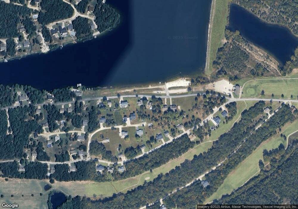
Map
Nearby Homes
- 830 Stone Gate Dr
- 609 Devonshire Ln
- 1650 Brandywine Dr
- 1645 Brandywine Dr
- 1601 Hawkwood Trail
- 1600 Hawkwood Trail
- 1575 Hickory Landing
- 1551 Hickory Landing
- 1539 Hickory Landing
- 12530 Peter Moore Ln
- 1207 Coachlite Dr
- 518 N 12th St
- 404 W Lueking Dr
- 0 Missouri 21
- 3 Easton St
- 713 Lansdowne St
- 714 Stewart St
- 4690 Liberty School Rd
- 1618 N 6th St
- 1612 N 6th St
- 1017 Lakeshore Dr
- 1011 Lakeshore Dr
- 1118 Westminster Ct
- 0Lot 83 Westminster Ct Briarwood Estate
- 1009 Lakeshore Dr
- 1021 Lakeshore Dr
- 1119 Westminster Ct
- 833 Stonegate Dr
- 1023 Lakeshore Dr
- 837 Stone Gate Dr
- 825 Stone Gate Dr
- 1115 Westminster Ct
- 841 Stonegate Dr
- 1025 Lakeshore Dr
- 821 Stone Gate Dr
- 845 Stone Gate Dr
- 1027 Lakeshore Dr
- 1110 Westminster Ct
- 1111 Westminster Ct
- 1113 Westminster Ct
Your Personal Tour Guide
Ask me questions while you tour the home.