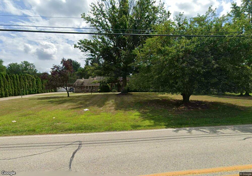
1015 Lansdale Ave Lansdale, PA 19446
Estimated Value: $632,000 - $796,000
4
Beds
4
Baths
4,350
Sq Ft
$161/Sq Ft
Est. Value
About This Home
This home is located at 1015 Lansdale Ave, Lansdale, PA 19446 and is currently estimated at $699,536, approximately $160 per square foot. 1015 Lansdale Ave is a home located in Montgomery County with nearby schools including Knapp Elementary School, Penndale Middle School, and North Penn Senior High School.
Ownership History
Date
Name
Owned For
Owner Type
Purchase Details
Closed on
Jun 30, 2011
Sold by
Wright Susan
Bought by
Manoogian Paul J
Current Estimated Value
Home Financials for this Owner
Home Financials are based on the most recent Mortgage that was taken out on this home.
Original Mortgage
$316,000
Outstanding Balance
$218,116
Interest Rate
4.58%
Estimated Equity
$481,420
Purchase Details
Closed on
Oct 18, 2006
Sold by
Wright Gary and Wright Susan
Bought by
Wright Susan
Purchase Details
Closed on
May 25, 2000
Sold by
Nice Rick T and Nice Vicki Lynn
Bought by
Wright Gary and Wright Susan
Create a Home Valuation Report for This Property
The Home Valuation Report is an in-depth analysis detailing your home's value as well as a comparison with similar homes in the area
Home Values in the Area
Average Home Value in this Area
Purchase History
| Date | Buyer | Sale Price | Title Company |
|---|---|---|---|
| Manoogian Paul J | $395,000 | None Available | |
| Wright Susan | -- | None Available | |
| Wright Gary | $214,000 | -- |
Source: Public Records
Mortgage History
| Date | Status | Borrower | Loan Amount |
|---|---|---|---|
| Open | Manoogian Paul J | $316,000 |
Source: Public Records
Tax History Compared to Growth
Tax History
| Year | Tax Paid | Tax Assessment Tax Assessment Total Assessment is a certain percentage of the fair market value that is determined by local assessors to be the total taxable value of land and additions on the property. | Land | Improvement |
|---|---|---|---|---|
| 2025 | $6,775 | $181,610 | $50,870 | $130,740 |
| 2024 | $6,775 | $181,610 | $50,870 | $130,740 |
| 2023 | $6,463 | $181,610 | $50,870 | $130,740 |
| 2022 | $6,236 | $181,610 | $50,870 | $130,740 |
| 2021 | $5,864 | $181,610 | $50,870 | $130,740 |
| 2020 | $5,709 | $181,610 | $50,870 | $130,740 |
| 2019 | $5,602 | $181,610 | $50,870 | $130,740 |
| 2018 | $970 | $181,610 | $50,870 | $130,740 |
| 2017 | $5,363 | $181,610 | $50,870 | $130,740 |
| 2016 | $5,292 | $181,610 | $50,870 | $130,740 |
| 2015 | $5,053 | $181,610 | $50,870 | $130,740 |
| 2014 | $5,053 | $181,610 | $50,870 | $130,740 |
Source: Public Records
Map
Nearby Homes
- 1107 Lansdale Ave
- Augusta Plan at Stonebridge at Longwood
- Woodford Plan at Holly Drive
- 700 Shagbark Dr Unit HAWTHORNE
- Hawthorne Plan at Stonebridge at Longwood
- Augusta Plan at Holly Drive
- Magnolia Plan at Enclave at Tattersall
- Woodford Plan at Stonebridge at Longwood
- Kipling Plan at Stonebridge at Longwood
- Devonshire Plan at Enclave at Tattersall
- Covington Plan at Holly Drive
- Ethan Plan at Stonebridge at Longwood
- Covington Plan at Enclave at Tattersall
- 700 Shagbark Dr Unit DEVONSHIRE
- Sebastian Plan at Enclave at Tattersall
- Parker Plan at Stonebridge at Longwood
- 700 Shagbark Dr Unit COVINGTON
- Nottingham Plan at Enclave at Tattersall
- Hawthorne Plan at Holly Drive
- Addison Plan at Stonebridge at Longwood
- 1017 Lansdale Ave
- 1011 Lansdale Ave
- 1021 Lansdale Ave
- 1014 Lansdale Ave
- 1009 Lansdale Ave
- 1010 Lansdale Ave
- 1023 Lansdale Ave
- 1044 Pecan Dr
- 1040 Pecan Dr
- 1007A Lansdale Ave
- 1008 Lansdale Ave
- 124 Manor Dr
- 1016 Lansdale Ave
- 1038 Pecan Dr
- 1005 Lansdale Ave
- 1006 Lansdale Ave
- 1007B Lansdale Ave
- 1012 Lansdale Ave Unit A
- 129 Manor Dr
- 1036 Pecan Dr