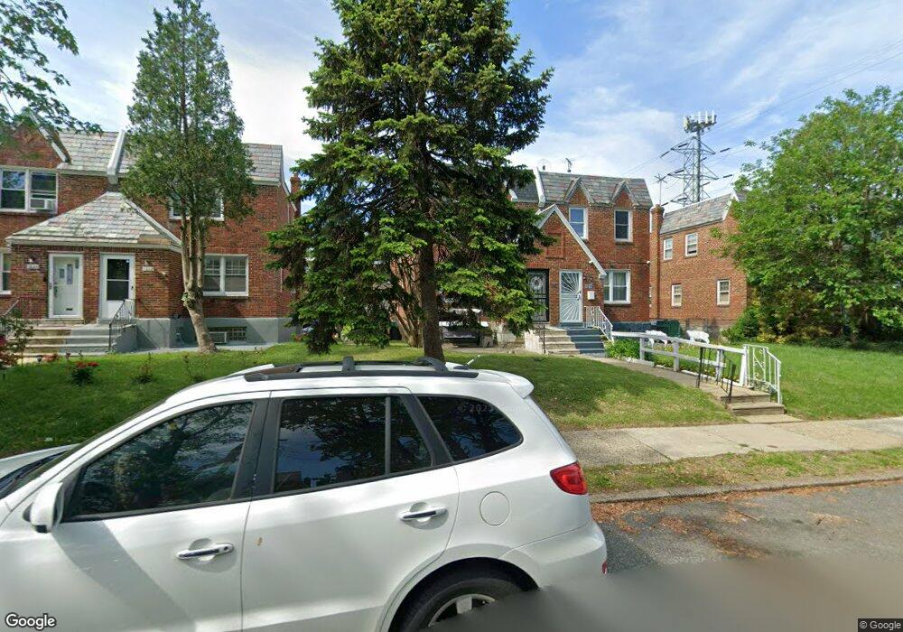
1015 Longshore Ave Philadelphia, PA 19111
Castor Gardens NeighborhoodEstimated Value: $290,482 - $312,000
3
Beds
2
Baths
1,188
Sq Ft
$256/Sq Ft
Est. Value
About This Home
This home is located at 1015 Longshore Ave, Philadelphia, PA 19111 and is currently estimated at $303,871, approximately $255 per square foot. 1015 Longshore Ave is a home located in Philadelphia County with nearby schools including J. Hampton Moore School, Castor Gardens Middle School, and Northeast High School.
Ownership History
Date
Name
Owned For
Owner Type
Purchase Details
Closed on
Dec 9, 2011
Sold by
Pinckney Lethaniel M and Pinckney Lethaniel Malik
Bought by
Pinckney Lethaniel Malik
Current Estimated Value
Home Financials for this Owner
Home Financials are based on the most recent Mortgage that was taken out on this home.
Original Mortgage
$160,797
Outstanding Balance
$111,255
Interest Rate
4.25%
Mortgage Type
FHA
Estimated Equity
$192,616
Purchase Details
Closed on
Aug 9, 2010
Sold by
Gillie Michelle and Gunther Elizabeth
Bought by
Pinckney Lethaniel M
Home Financials for this Owner
Home Financials are based on the most recent Mortgage that was taken out on this home.
Original Mortgage
$162,708
Interest Rate
5.5%
Mortgage Type
FHA
Create a Home Valuation Report for This Property
The Home Valuation Report is an in-depth analysis detailing your home's value as well as a comparison with similar homes in the area
Home Values in the Area
Average Home Value in this Area
Purchase History
| Date | Buyer | Sale Price | Title Company |
|---|---|---|---|
| Pinckney Lethaniel Malik | -- | None Available | |
| Pinckney Lethaniel M | $164,900 | None Available |
Source: Public Records
Mortgage History
| Date | Status | Borrower | Loan Amount |
|---|---|---|---|
| Open | Pinckney Lethaniel Malik | $160,797 | |
| Closed | Pinckney Lethaniel M | $162,708 |
Source: Public Records
Tax History Compared to Growth
Tax History
| Year | Tax Paid | Tax Assessment Tax Assessment Total Assessment is a certain percentage of the fair market value that is determined by local assessors to be the total taxable value of land and additions on the property. | Land | Improvement |
|---|---|---|---|---|
| 2025 | $3,018 | $259,100 | $51,820 | $207,280 |
| 2024 | $3,018 | $259,100 | $51,820 | $207,280 |
| 2023 | $3,018 | $215,600 | $43,120 | $172,480 |
| 2022 | $2,170 | $215,600 | $43,120 | $172,480 |
| 2021 | $2,170 | $0 | $0 | $0 |
| 2020 | $2,170 | $0 | $0 | $0 |
| 2019 | $2,082 | $0 | $0 | $0 |
| 2018 | $2,014 | $0 | $0 | $0 |
| 2017 | $2,014 | $0 | $0 | $0 |
| 2016 | $2,014 | $0 | $0 | $0 |
| 2015 | $1,928 | $0 | $0 | $0 |
| 2014 | -- | $143,900 | $39,322 | $104,578 |
| 2012 | -- | $18,656 | $3,724 | $14,932 |
Source: Public Records
Map
Nearby Homes
- 1055 Tyson Ave
- 1114 Brighton St
- 1133 Knorr St
- 1202 Disston St
- 6839 Summerdale Ave
- 832 Knorr St
- 1117 Unruh Ave
- 811 Knorr St
- 1116 Friendship St
- 1216 Knorr St
- 1116 Unruh Ave
- 1103 Fanshawe St
- 1012 Saint Vincent St
- 1104 Fanshawe St
- 908 Fanshawe St
- 1238 Glenview St
- 1300 Glenview St
- 1305 Glenview St
- 1130 Magee Ave
- 1113 Gilham St
- 1017 Longshore Ave
- 1013 Longshore Ave
- 1019 Longshore Ave
- 1011 Longshore Ave
- 1021 Longshore Ave
- 1014 Disston St
- 1023 Longshore Ave
- 1016 Disston St
- 1012 Disston St
- 1018 Disston St
- 1010 Disston St
- 1020 Disston St
- 1025 Longshore Ave
- 1022 Disston St
- 1024 Disston St
- 1029 Longshore Ave
- 1026 Disston St
- 1028 Disston St
- 1031 Longshore Ave
- 1030 Disston St