1015 Miller Branch Rd Mars Hill, NC 28754
Estimated Value: $293,000 - $839,278
1
Bed
1
Bath
808
Sq Ft
$772/Sq Ft
Est. Value
About This Home
This home is located at 1015 Miller Branch Rd, Mars Hill, NC 28754 and is currently estimated at $624,093, approximately $772 per square foot. 1015 Miller Branch Rd is a home with nearby schools including Mountain Heritage High School.
Ownership History
Date
Name
Owned For
Owner Type
Purchase Details
Closed on
Jun 12, 2024
Sold by
Chandler Harold and Chandler Betty J
Bought by
Chandler Harold and Chandler Betty J
Current Estimated Value
Purchase Details
Closed on
May 11, 2018
Sold by
Chandler Harold and Chandler Betty J
Bought by
Chandler Harold J and Carver Karen
Create a Home Valuation Report for This Property
The Home Valuation Report is an in-depth analysis detailing your home's value as well as a comparison with similar homes in the area
Home Values in the Area
Average Home Value in this Area
Purchase History
| Date | Buyer | Sale Price | Title Company |
|---|---|---|---|
| Chandler Harold | -- | None Listed On Document | |
| Chandler Harold | -- | None Listed On Document | |
| Chandler Harold | -- | None Listed On Document | |
| Chandler Harold | -- | None Listed On Document | |
| Chandler Harold J | -- | -- |
Source: Public Records
Tax History Compared to Growth
Tax History
| Year | Tax Paid | Tax Assessment Tax Assessment Total Assessment is a certain percentage of the fair market value that is determined by local assessors to be the total taxable value of land and additions on the property. | Land | Improvement |
|---|---|---|---|---|
| 2025 | $557 | $206,300 | $75,200 | $131,100 |
| 2024 | $1,750 | $690,400 | $437,600 | $252,800 |
| 2023 | $1,245 | $396,650 | $229,700 | $166,950 |
| 2022 | $1,220 | $396,650 | $229,700 | $166,950 |
| 2021 | $1,245 | $396,650 | $229,700 | $166,950 |
| 2020 | $1,245 | $396,650 | $229,700 | $166,950 |
| 2019 | $1,245 | $396,650 | $229,700 | $166,950 |
| 2018 | $776 | $318,030 | $232,600 | $85,430 |
| 2017 | $776 | $318,030 | $232,600 | $85,430 |
| 2016 | $776 | $318,030 | $232,600 | $85,430 |
| 2015 | $1,246 | $485,460 | $374,900 | $110,560 |
| 2014 | $1,246 | $485,460 | $374,900 | $110,560 |
Source: Public Records
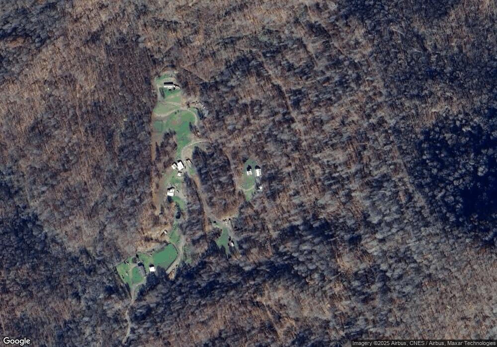
Map
Nearby Homes
- 222 Fox Creek Rd
- 31 acres Scronce Creek Rd
- Lot 38 Black Bear Run
- 197 Cherry Knob Dr
- 00 Windy Gap Rd Unit Tract B
- 456 Windy Gap Rd
- 1201 Simms Fork Rd
- Lot 27 Black Bear Run
- Lot 42 Black Bear Run
- Lot 28 Black Bear Run
- 63 Running Cedar Dr
- 000 Running Cedar Dr Unit 31
- 59/61 Running Cedar Dr
- 53 & 55 Running Cedar Dr
- 2311 Old Mountain Rd
- TBD US 19w Hwy
- 2338 El Miner Dr
- 175 Blackberry Cove Dr Unit 11
- 16 Mountain Gait Dr Unit 16
- 17 Mountain Gait Dr Unit 17
- 548 Miller Branch Rd
- 513 Miller Branch Rd
- 425 Miller Branch Rd
- 351 Miller Branch Rd
- 0 Miller Branch Rd Unit 3411203
- 1640 Fox Creek Rd
- 298 Miller Branch Rd
- 1550 Fox Creek Rd
- 2031 Foxcreek Rd
- 1535 Fox Creek Rd
- 1524 Fox Creek Rd
- 2477 Scronce Creek Rd
- 1400 Fox Creek Rd
- 1549 Fox Creek Rd
- 1465 Fox Creek Rd
- 230 Miller Branch Rd
- 1455 Fox Creek Rd
- 1325 Fox Creek Rd
- 1453 Fox Creek Rd
- 1305 Fox Creek Rd