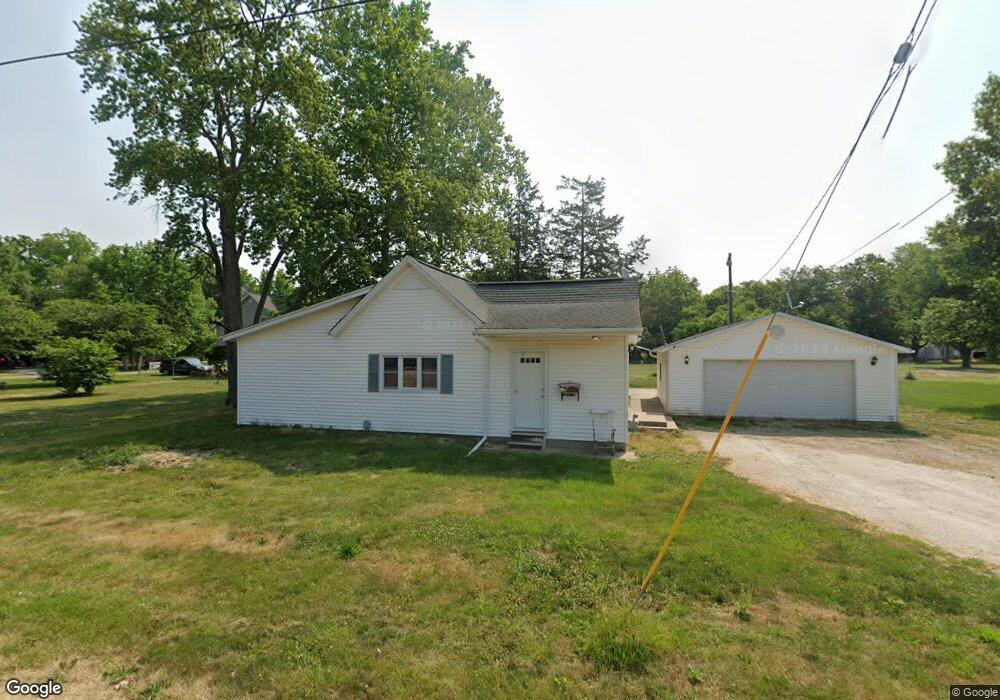
1015 N Cedar St Lewistown, IL 61542
Estimated Value: $88,000 - $130,000
--
Bed
--
Bath
--
Sq Ft
0.45
Acres
About This Home
This home is located at 1015 N Cedar St, Lewistown, IL 61542 and is currently estimated at $114,115. 1015 N Cedar St is a home located in Fulton County with nearby schools including Central Elementary School, Lewistown Elementary School, and Lewistown Junior/Senior High School.
Ownership History
Date
Name
Owned For
Owner Type
Purchase Details
Closed on
Sep 13, 2023
Sold by
Bainter Carroll W and Bainter Marvin
Bought by
Davison Taylor A
Current Estimated Value
Home Financials for this Owner
Home Financials are based on the most recent Mortgage that was taken out on this home.
Original Mortgage
$100,223
Outstanding Balance
$97,851
Interest Rate
6.37%
Mortgage Type
Construction
Estimated Equity
$16,264
Create a Home Valuation Report for This Property
The Home Valuation Report is an in-depth analysis detailing your home's value as well as a comparison with similar homes in the area
Home Values in the Area
Average Home Value in this Area
Purchase History
| Date | Buyer | Sale Price | Title Company |
|---|---|---|---|
| Davison Taylor A | $105,000 | Terrill Title |
Source: Public Records
Mortgage History
| Date | Status | Borrower | Loan Amount |
|---|---|---|---|
| Open | Davison Taylor A | $100,223 |
Source: Public Records
Tax History Compared to Growth
Tax History
| Year | Tax Paid | Tax Assessment Tax Assessment Total Assessment is a certain percentage of the fair market value that is determined by local assessors to be the total taxable value of land and additions on the property. | Land | Improvement |
|---|---|---|---|---|
| 2024 | $2,931 | $35,160 | $3,380 | $31,780 |
| 2023 | $2,931 | $33,640 | $3,230 | $30,410 |
| 2022 | $2,474 | $33,640 | $3,230 | $30,410 |
| 2021 | $2,474 | $29,900 | $3,230 | $26,670 |
| 2020 | $2,268 | $28,900 | $3,120 | $25,780 |
| 2019 | $2,329 | $29,360 | $3,170 | $26,190 |
| 2018 | $2,262 | $28,800 | $3,110 | $25,690 |
| 2017 | $2,809 | $28,800 | $3,110 | $25,690 |
| 2016 | $2,181 | $27,810 | $3,000 | $24,810 |
| 2015 | $2,178 | $27,810 | $3,000 | $24,810 |
| 2013 | -- | $27,100 | $2,920 | $24,180 |
| 2012 | -- | $26,440 | $2,850 | $23,590 |
Source: Public Records
Map
Nearby Homes
- 602 E Nimintz Ave
- 1026 N Main St
- 1428 N Main St
- 101 W Macarthur Ave
- 111 N Broadway St
- 376 W Euclid Ave
- 200 W Avenue B
- 704 S Main St
- 15937 U S 24
- 330 W Avenue G
- 0 N Highway 9 County Rd Unit RMAPA1260470
- 13 Melrose Ln
- 1124 S Illinois St
- 000 Highway 24
- 16853 N Wright Rd
- 12676 E County 14 Hwy
- County 14 Lot Unit WP001
- 14953 E Grain Bin Rd
- 10315 E County 14 Hwy
- 10206 E County 14 Hwy
- 1021 N Cedar St
- 1103 N Cedar St
- 1003 N Cedar St
- 724 E 10th Ave
- 1000 N Cedar St
- 999 N Cedar St
- 943 N Cedar St
- 430 E Marshall Ave
- 728 E 10th Ave
- 939 N Cedar St
- 932 N Elm St
- 1003 N Chestnut St
- 426 E Marshall Ave
- 920 N Elm St
- 1001 N Cedar St
- 911 N Elm St
- 927 N Broadway St
- 920 N Chestnut St
- 1005 N Chestnut St
- 907 N Elm St