Estimated Value: $238,000 - $278,000
3
Beds
2
Baths
1,753
Sq Ft
$147/Sq Ft
Est. Value
About This Home
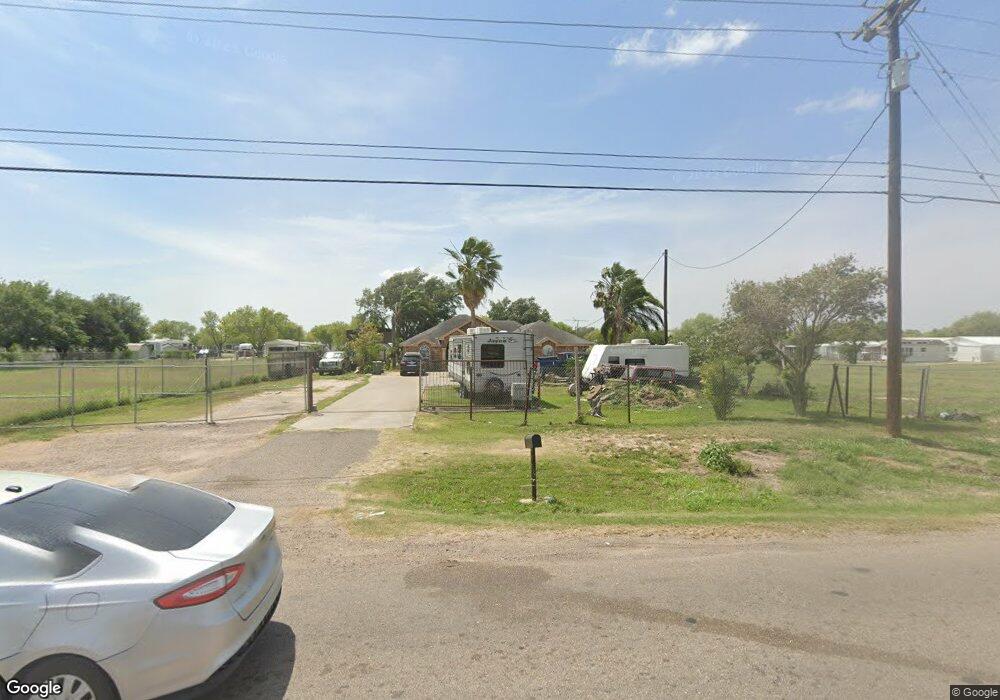
This home is located at 1015 N Tower Rd, Alamo, TX 78516 and is currently estimated at $258,530, approximately $147 per square foot. 1015 N Tower Rd is a home located in Hidalgo County with nearby schools including Augusto Guerra Elementary, Audie Murphy Middle School, and PSJA Memorial Early College High School.
Ownership History
Date
Name
Owned For
Owner Type
Purchase Details
Closed on
Jul 2, 2025
Sold by
Gonzalez Rodolfo and Marron Angelica Maria
Bought by
Gonzalez Pearl Jasmine
Current Estimated Value
Purchase Details
Closed on
Jul 14, 2015
Sold by
Lopez Francisco J and Lopez Minerva G
Bought by
Marron Angelica Maria
Home Financials for this Owner
Home Financials are based on the most recent Mortgage that was taken out on this home.
Original Mortgage
$58,500
Interest Rate
4.03%
Mortgage Type
Seller Take Back
Purchase Details
Closed on
Jan 9, 2007
Sold by
Gonzalez Jaime and Gonzalez Maria Elisa
Bought by
Gonzalez Rodolfo
Home Financials for this Owner
Home Financials are based on the most recent Mortgage that was taken out on this home.
Original Mortgage
$121,550
Interest Rate
6.1%
Mortgage Type
Purchase Money Mortgage
Create a Home Valuation Report for This Property
The Home Valuation Report is an in-depth analysis detailing your home's value as well as a comparison with similar homes in the area
Home Values in the Area
Average Home Value in this Area
Purchase History
| Date | Buyer | Sale Price | Title Company |
|---|---|---|---|
| Gonzalez Pearl Jasmine | -- | None Listed On Document | |
| Marron Angelica Maria | -- | None Available | |
| Gonzalez Rodolfo | -- | Sierra Title |
Source: Public Records
Mortgage History
| Date | Status | Borrower | Loan Amount |
|---|---|---|---|
| Previous Owner | Marron Angelica Maria | $58,500 | |
| Previous Owner | Gonzalez Rodolfo | $121,550 |
Source: Public Records
Tax History Compared to Growth
Tax History
| Year | Tax Paid | Tax Assessment Tax Assessment Total Assessment is a certain percentage of the fair market value that is determined by local assessors to be the total taxable value of land and additions on the property. | Land | Improvement |
|---|---|---|---|---|
| 2025 | $3,952 | $217,230 | -- | -- |
| 2024 | $3,952 | $197,482 | -- | -- |
| 2023 | $4,475 | $179,529 | $0 | $0 |
| 2022 | $4,356 | $163,208 | $0 | $0 |
| 2021 | $4,036 | $148,371 | $38,017 | $110,354 |
| 2020 | $3,856 | $139,888 | $38,017 | $101,871 |
| 2019 | $3,768 | $131,601 | $38,017 | $93,584 |
| 2018 | $3,787 | $132,649 | $38,017 | $94,632 |
| 2017 | $3,877 | $133,697 | $38,017 | $95,680 |
| 2016 | $3,907 | $134,747 | $38,017 | $96,730 |
| 2015 | $3,490 | $135,794 | $38,017 | $97,777 |
Source: Public Records
Map
Nearby Homes
- 1233 Country Club Dr
- 949 Thomas Ln
- 520 Country Club Dr
- 1016 Palm Dr
- 419 Country Club Dr
- 516 Hunter Dr
- 912 Santa Anna Dr
- 1118 Country Club Dr
- 517 Hunter Dr
- 912 Palm Dr
- Sophora Plan at Las Cruces
- Valencia Plan at Las Cruces
- Tularosa Plan at Las Cruces
- Clovis Plan at Las Cruces
- Duranta Plan at Las Cruces
- 917 Citrus Dr
- 400 Tower Hills St
- 510 Greystone Cir
- 1027 Broken Arrow Dr
- 928 Katrin Dr
- 1009 N Tower Rd
- 502 State Highway 495
- 1002 N Tower Rd Unit 1
- 1002 N Tower Rd Unit 2
- 506 Texas 495
- 0 Fm 495
- 446 Northcutt Dr
- 510 Robert Ln
- 945 Santa Anna Dr
- 512 Robert Ln
- 442 Northcutt Dr
- 440 Northcutt Dr
- 514 Robert Ln
- 514 Robert Ln Unit 54
- 438 Northcutt Dr Unit 6
- 946 Margarita Ln
- 516 Robert Ln
- 436 Northcutt Dr
- 518 Robert Ln
- 942 White Ln