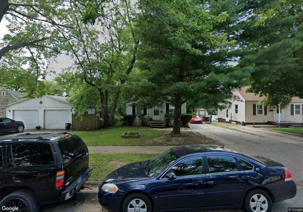
1015 N University Ave Decatur, IL 62522
Garfield Park NeighborhoodEstimated Value: $34,000 - $60,000
2
Beds
1
Bath
1,952
Sq Ft
$24/Sq Ft
Est. Value
About This Home
This home is located at 1015 N University Ave, Decatur, IL 62522 and is currently estimated at $47,808, approximately $24 per square foot. 1015 N University Ave is a home located in Macon County with nearby schools including Stephen Decatur Middle School, Northwest Christian Campus, and Teen Challenge-Home For Girls.
Ownership History
Date
Name
Owned For
Owner Type
Purchase Details
Closed on
Jul 17, 2008
Sold by
Strachan Robert L and Strachan Nelda E
Bought by
Black Robert
Current Estimated Value
Home Financials for this Owner
Home Financials are based on the most recent Mortgage that was taken out on this home.
Original Mortgage
$22,500
Outstanding Balance
$14,727
Interest Rate
6.36%
Mortgage Type
Future Advance Clause Open End Mortgage
Estimated Equity
$33,081
Create a Home Valuation Report for This Property
The Home Valuation Report is an in-depth analysis detailing your home's value as well as a comparison with similar homes in the area
Home Values in the Area
Average Home Value in this Area
Purchase History
| Date | Buyer | Sale Price | Title Company |
|---|---|---|---|
| Black Robert | $25,000 | None Available |
Source: Public Records
Mortgage History
| Date | Status | Borrower | Loan Amount |
|---|---|---|---|
| Open | Black Robert | $22,500 |
Source: Public Records
Tax History Compared to Growth
Tax History
| Year | Tax Paid | Tax Assessment Tax Assessment Total Assessment is a certain percentage of the fair market value that is determined by local assessors to be the total taxable value of land and additions on the property. | Land | Improvement |
|---|---|---|---|---|
| 2024 | $1,067 | $11,022 | $436 | $10,586 |
| 2023 | $1,058 | $10,632 | $421 | $10,211 |
| 2022 | $997 | $9,744 | $389 | $9,355 |
| 2021 | $936 | $9,100 | $364 | $8,736 |
| 2020 | $923 | $8,679 | $348 | $8,331 |
| 2019 | $923 | $8,679 | $348 | $8,331 |
| 2018 | $1,001 | $9,529 | $241 | $9,288 |
| 2017 | $1,025 | $9,783 | $247 | $9,536 |
| 2016 | $1,044 | $9,883 | $250 | $9,633 |
| 2015 | $992 | $9,709 | $246 | $9,463 |
| 2014 | $1,071 | $11,176 | $1,357 | $9,819 |
| 2013 | $1,107 | $11,596 | $1,408 | $10,188 |
Source: Public Records
Map
Nearby Homes
- 917 N Wilder Ave
- 1451 W Marietta St
- 1319 W Waggoner St
- 1065 W Green St
- 1535 N Mcclellan Ave
- 1645 W Center St
- 1530 W Cushing St
- 837 W Grand Ave
- 1675 W Center St
- 1415 N Dennis Ave
- 933 W Division St
- 266 Cobb Ave
- 958 W William St
- 925 W Olive St
- 1706 W Division St
- 875 N Monroe St
- 1653 N Maple Ave
- 1524 N Summit Ave
- 1545 N Monroe St
- 1625 W Garfield Ave
- 1035 N University Ave
- 1204 W Marietta St
- 1045 N University Ave
- 1005 N University Ave
- 1240 W Marietta St
- 1220 W Marietta St
- 1055 N University Ave
- 1038 N Wilder Ave
- 1030 N University Ave
- 1242 W Marietta St
- 1050 N University Ave
- 1048 N Wilder Ave
- 1176 W Marietta St
- 1075 N University Ave
- 1028 N Wilder Ave
- 1058 N Wilder Ave
- 1244 W Marietta St
- 1205 W Marietta St
- 1213 W Marietta St
- 1172 W Marietta St