Estimated Value: $150,000 - $315,000
--
Bed
2
Baths
622
Sq Ft
$396/Sq Ft
Est. Value
About This Home
This home is located at 1015 Nathan Rd, Odum, GA 31555 and is currently estimated at $246,610, approximately $396 per square foot. 1015 Nathan Rd is a home located in Wayne County with nearby schools including Odum Elementary School, Martha Puckett Middle School, and Wayne County High School.
Ownership History
Date
Name
Owned For
Owner Type
Purchase Details
Closed on
Dec 6, 2019
Sold by
Walsh John J
Bought by
Goose Creek Tree Farms Llc
Current Estimated Value
Purchase Details
Closed on
Jan 31, 2017
Sold by
Walsh John J
Bought by
Walsh John J
Purchase Details
Closed on
Dec 20, 2016
Sold by
Poppell Orvita I
Bought by
Walsh John J
Purchase Details
Closed on
Oct 23, 2013
Sold by
Poppell Roy Lavern
Bought by
Walsh Orvita Poppell
Purchase Details
Closed on
Nov 18, 2011
Sold by
Poppell Roy L
Bought by
Walsh Orvita Poppell
Purchase Details
Closed on
Jun 1, 1995
Bought by
Poppell Nathan
Purchase Details
Closed on
Dec 1, 1992
Purchase Details
Closed on
Feb 1, 1990
Purchase Details
Closed on
Jan 1, 1990
Create a Home Valuation Report for This Property
The Home Valuation Report is an in-depth analysis detailing your home's value as well as a comparison with similar homes in the area
Home Values in the Area
Average Home Value in this Area
Purchase History
| Date | Buyer | Sale Price | Title Company |
|---|---|---|---|
| Goose Creek Tree Farms Llc | $160,000 | -- | |
| Walsh John J | -- | -- | |
| Walsh John J | -- | -- | |
| Walsh Orvita Poppell | $83,000 | -- | |
| Walsh Orvita Poppell | $15,000 | -- | |
| Poppell Nathan | -- | -- | |
| Poppell Roy Lavern | -- | -- | |
| -- | -- | -- | |
| -- | -- | -- | |
| -- | $10,700 | -- |
Source: Public Records
Tax History Compared to Growth
Tax History
| Year | Tax Paid | Tax Assessment Tax Assessment Total Assessment is a certain percentage of the fair market value that is determined by local assessors to be the total taxable value of land and additions on the property. | Land | Improvement |
|---|---|---|---|---|
| 2024 | $1,623 | $96,831 | $53,189 | $43,642 |
| 2023 | $1,633 | $91,445 | $53,189 | $38,256 |
| 2022 | $1,505 | $83,905 | $53,189 | $30,716 |
| 2021 | $1,375 | $77,145 | $53,189 | $23,956 |
| 2020 | $949 | $29,224 | $12,687 | $16,537 |
| 2019 | $1,050 | $29,224 | $12,687 | $16,537 |
| 2018 | $1,050 | $29,224 | $12,687 | $16,537 |
| 2017 | $904 | $29,224 | $12,687 | $16,537 |
| 2016 | $609 | $29,224 | $12,687 | $16,537 |
| 2014 | $877 | $29,224 | $12,687 | $16,537 |
| 2013 | -- | $16,536 | $0 | $16,536 |
Source: Public Records
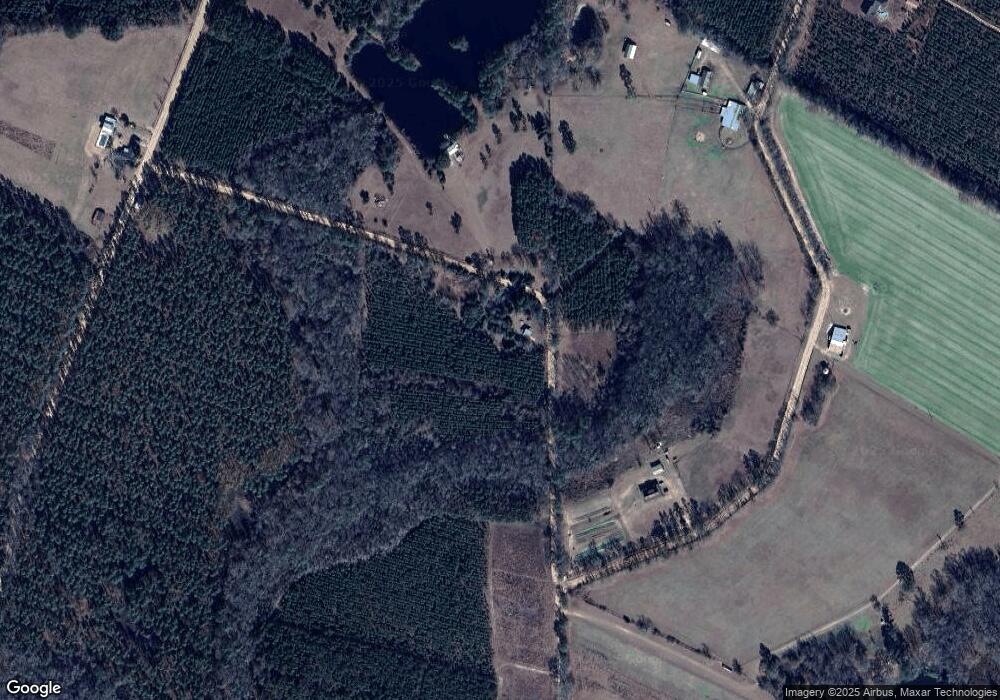
Map
Nearby Homes
- 6555 Lanes Bridge Rd
- 720 Kaitlyn Ave
- 818 Kaitlyn Ave
- 468 Lake Lanell Rd
- 468 Lake Lannell Rd
- 876 Hires Rd
- 0 Oglethorpe Rd
- 2936 Madray Springs Rd
- 10.00 AC Hwy 341 Odum Hwy
- 796 Lud Oquinn Rd
- 858 Hoke Ogden Rd
- 0 N Church St
- 10 Beards Bluff Rd
- 0 Beards Bluff Rd
- 21 AC Hwy 341
- 17380 Lanes Bridge Rd
- 17614 Lanes Bridge Rd
- 300 Three C Rd
- 272 Three C Rd
- 128 Three C Rd
- 736 Nathan Rd
- 420 Nathan Rd
- 464 Alton Rd
- 311 Nathan Rd
- 3922 Walter Griffis Rd
- 4570 Walter Griffis Rd
- 4477 Walter Griffis Rd
- 4477 Walter Griffis Rd
- 665 Beaver Dam Rd
- 1334 Beaver Dam Rd
- 4954 Walter Griffis Rd
- 573 Beaver Dam Rd
- 1465 Beaver Dam Rd
- 0 Beaver Dam Rd
- 1326 Beaver Dam Rd
- 1400 Beaver Dam Rd
- 361 Gail Rd
- 5188 Walter Griffis Rd
- 1494 Beaver Dam Rd
- 1275 Beaver Dam Rd