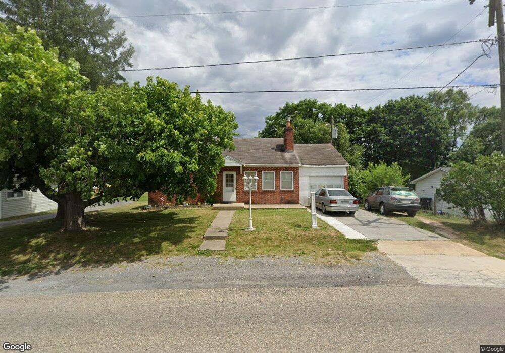
1015 Ox Rd Woodstock, VA 22664
Estimated Value: $227,000 - $248,000
3
Beds
1
Bath
1,020
Sq Ft
$233/Sq Ft
Est. Value
About This Home
This home is located at 1015 Ox Rd, Woodstock, VA 22664 and is currently estimated at $238,156, approximately $233 per square foot. 1015 Ox Rd is a home located in Shenandoah County with nearby schools including W.W. Robinson Elementary School, Peter Muhlenberg Middle School, and Central High School.
Ownership History
Date
Name
Owned For
Owner Type
Purchase Details
Closed on
Dec 13, 2024
Sold by
Berchdorf Charles
Bought by
Kingree Trent A and Kingree Bettina B
Current Estimated Value
Home Financials for this Owner
Home Financials are based on the most recent Mortgage that was taken out on this home.
Original Mortgage
$230,400
Outstanding Balance
$228,563
Interest Rate
6.72%
Mortgage Type
Seller Take Back
Estimated Equity
$9,593
Purchase Details
Closed on
Dec 22, 2022
Sold by
Walker Mildred E and Mason Mildred E
Bought by
Mason Mildred E and Walker Mildred E
Purchase Details
Closed on
Dec 29, 2021
Sold by
Mcinturff Jeffrey
Bought by
Sheldogor Properties Llc
Create a Home Valuation Report for This Property
The Home Valuation Report is an in-depth analysis detailing your home's value as well as a comparison with similar homes in the area
Home Values in the Area
Average Home Value in this Area
Purchase History
| Date | Buyer | Sale Price | Title Company |
|---|---|---|---|
| Kingree Trent A | $230,400 | Woodstock Title Corp | |
| Mason Mildred E | -- | None Listed On Document | |
| Sheldogor Properties Llc | $170,000 | New Title Company Name |
Source: Public Records
Mortgage History
| Date | Status | Borrower | Loan Amount |
|---|---|---|---|
| Open | Kingree Trent A | $230,400 |
Source: Public Records
Tax History Compared to Growth
Tax History
| Year | Tax Paid | Tax Assessment Tax Assessment Total Assessment is a certain percentage of the fair market value that is determined by local assessors to be the total taxable value of land and additions on the property. | Land | Improvement |
|---|---|---|---|---|
| 2025 | $1,073 | $167,600 | $48,000 | $119,600 |
| 2024 | $1,073 | $167,600 | $48,000 | $119,600 |
| 2023 | $1,006 | $167,600 | $48,000 | $119,600 |
| 2022 | $972 | $167,600 | $48,000 | $119,600 |
| 2021 | $889 | $128,900 | $41,000 | $87,900 |
| 2020 | $825 | $128,900 | $41,000 | $87,900 |
| 2019 | $825 | $128,900 | $41,000 | $87,900 |
| 2018 | $825 | $128,900 | $41,000 | $87,900 |
| 2017 | $773 | $128,900 | $41,000 | $87,900 |
| 2016 | $773 | $128,900 | $41,000 | $87,900 |
| 2015 | -- | $136,600 | $46,000 | $90,600 |
| 2014 | -- | $136,600 | $46,000 | $90,600 |
Source: Public Records
Map
Nearby Homes
- 0 W Reservoir Rd Unit VASH2007744
- LOT 3 S Main St
- LOT 1 S Main St
- TBD S Main St
- 151 E Reservoir Rd
- 250 Parkside Ct
- 248 Parkside Ct
- 252 Parkside Ct
- 756 Spring Pkwy
- 1282 A12 Ox Rd
- 1282 Ox Rd Unit A-12
- 420 Roland Rd
- 605 Cedar Ct
- 1290 Ox Rd Unit E3
- 414 Jefferson St
- 714 Jackson St
- 544 Washington St
- 615 Allegheny Cir
- 628 Allegheny Cir
- 326 Hollingsworth Rd
- 1019 Ox Rd
- 1011 Ox Rd
- 1010 Ox Rd
- 226 W Reservoir Rd
- 225 Fairground Rd
- 227 Fairground Rd
- 221 Fairground Rd
- 215 Fairground Rd
- 300 W Reservoir Rd
- 947 Ox Rd
- 916 Susan Ave
- 228 Fairground Rd
- 211 Fairground Rd
- 226 Fairground Rd
- 222 Fairground Rd
- 945 Ox Rd
- 220 Fairground Rd
- 216 Fairground Rd
- 914 Susan Ave
- 910 Susan Ave