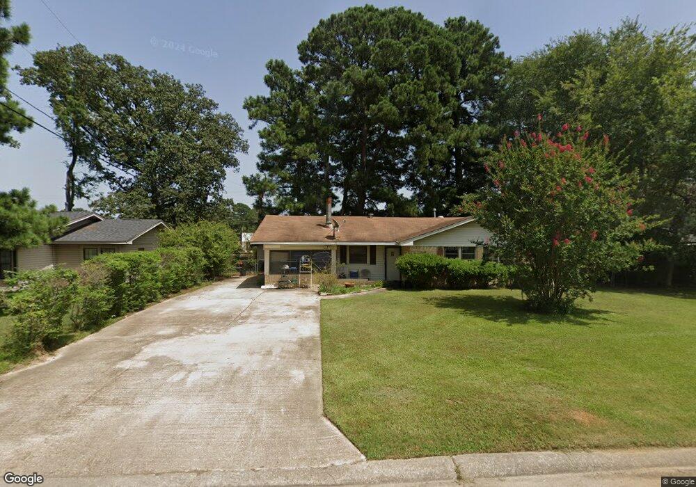
1015 Peyton Ave Benton, LA 71006
Estimated Value: $123,000 - $173,000
3
Beds
1
Bath
1,449
Sq Ft
$94/Sq Ft
Est. Value
About This Home
This home is located at 1015 Peyton Ave, Benton, LA 71006 and is currently estimated at $136,553, approximately $94 per square foot. 1015 Peyton Ave is a home located in Bossier Parish with nearby schools including Benton Elementary School, Benton Middle School, and Benton High School.
Ownership History
Date
Name
Owned For
Owner Type
Purchase Details
Closed on
Mar 10, 2010
Sold by
Johnson Tommy Ray and Johnson Betty Jean Noble
Bought by
Grigsby Pearlie Mae Johnson and Grigsby Dennis Wayne
Current Estimated Value
Home Financials for this Owner
Home Financials are based on the most recent Mortgage that was taken out on this home.
Original Mortgage
$88,775
Outstanding Balance
$58,691
Interest Rate
4.93%
Mortgage Type
New Conventional
Estimated Equity
$77,862
Create a Home Valuation Report for This Property
The Home Valuation Report is an in-depth analysis detailing your home's value as well as a comparison with similar homes in the area
Home Values in the Area
Average Home Value in this Area
Purchase History
| Date | Buyer | Sale Price | Title Company |
|---|---|---|---|
| Grigsby Pearlie Mae Johnson | $87,000 | First Commerce Title Co Inc |
Source: Public Records
Mortgage History
| Date | Status | Borrower | Loan Amount |
|---|---|---|---|
| Open | Grigsby Pearlie Mae Johnson | $88,775 |
Source: Public Records
Tax History
| Year | Tax Paid | Tax Assessment Tax Assessment Total Assessment is a certain percentage of the fair market value that is determined by local assessors to be the total taxable value of land and additions on the property. | Land | Improvement |
|---|---|---|---|---|
| 2024 | $218 | $8,268 | $1,350 | $6,918 |
| 2023 | $123 | $7,083 | $1,350 | $5,733 |
| 2022 | $123 | $7,083 | $1,350 | $5,733 |
| 2021 | $123 | $7,083 | $1,350 | $5,733 |
| 2020 | $36 | $7,083 | $1,350 | $5,733 |
| 2019 | $36 | $7,280 | $1,350 | $5,930 |
| 2018 | $36 | $7,280 | $1,350 | $5,930 |
| 2017 | $90 | $7,280 | $1,350 | $5,930 |
| 2016 | $90 | $7,280 | $1,350 | $5,930 |
| 2015 | $159 | $7,730 | $1,350 | $6,380 |
| 2014 | $159 | $7,730 | $1,350 | $6,380 |
Source: Public Records
Map
Nearby Homes
- 1001 Dale Dr
- 106 Mildred St
- 102 Old Bellevue Rd
- 102 A Old Bellevue Rd
- 1211 Lee St
- 910 Lee St
- 814 Lee St
- 110 Seger Cir
- 4950 Benton Rd
- 510 Lee St
- 112 Brimestone Loop
- 449 N Lost River Dr
- 0 Pine
- 55 High Water Dr
- 50 Crowder Dr
- 0000 Old Plain Dealing Rd
- 00 Old Plain Dealing Rd
- 1228 Old Plain Dealing Rd
- 900 5th St
- 515 5th St
- 1017 Peyton Ave
- 1011 Peyton Ave
- 1012 Peyton Ave
- 1019 Peyton Ave
- 1014 Peyton Ave
- 1000 Dale Dr
- 1009 Peyton Ave
- 1003 Dale Dr
- 1021 Peyton Ave
- 1016 Peyton Ave
- 1007 Peyton Ave
- 1002 Dale Dr
- 1023 Peyton Ave
- 1005 Dale Dr
- 1004 Dale Dr
- 1002 Peyton Ave
- 1025 Peyton Ave
- 1005 Peyton Ave
- 1007 Dale Dr
- 1006 Sharron Dr
Your Personal Tour Guide
Ask me questions while you tour the home.