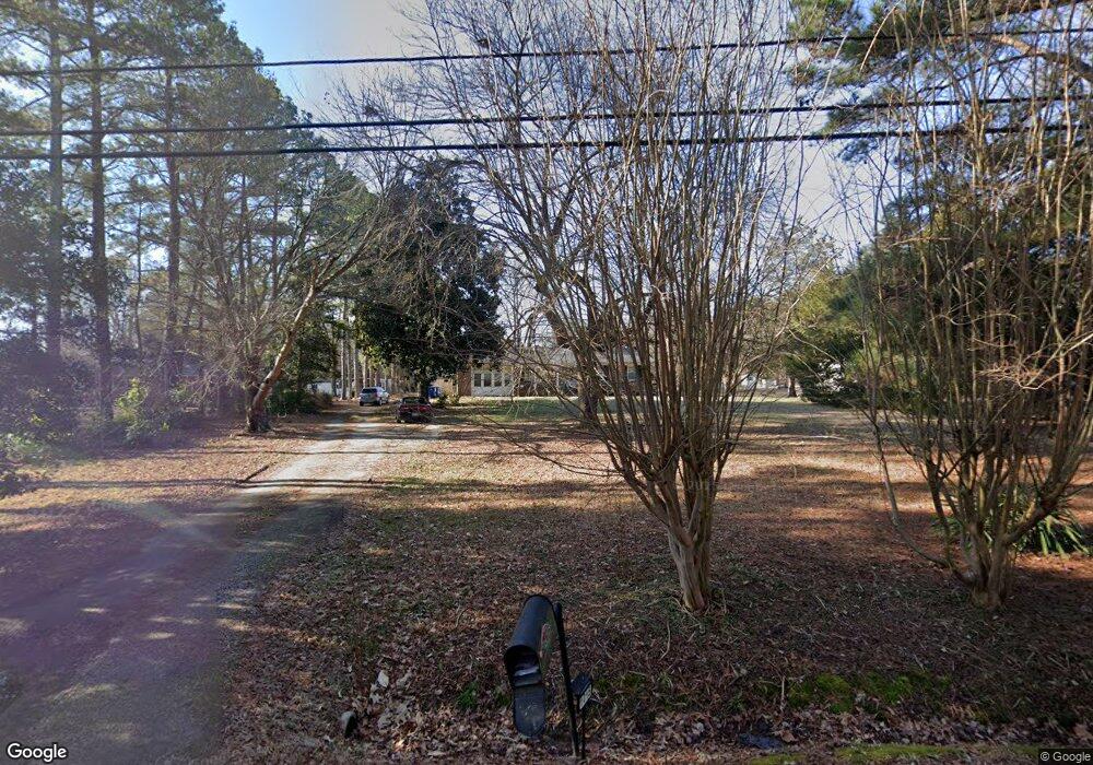
1015 Point of Rocks Rd Chester, VA 23836
Bermuda Hundred NeighborhoodEstimated Value: $318,000 - $384,000
3
Beds
2
Baths
2,396
Sq Ft
$143/Sq Ft
Est. Value
About This Home
This home is located at 1015 Point of Rocks Rd, Chester, VA 23836 and is currently estimated at $342,948, approximately $143 per square foot. 1015 Point of Rocks Rd is a home located in Chesterfield County with nearby schools including Elizabeth Scott Elementary School, Elizabeth Davis Middle School, and Thomas Dale High School - Main Campus.
Ownership History
Date
Name
Owned For
Owner Type
Purchase Details
Closed on
Nov 16, 2005
Sold by
Wright Dennis A
Bought by
Branson Michael S
Current Estimated Value
Home Financials for this Owner
Home Financials are based on the most recent Mortgage that was taken out on this home.
Original Mortgage
$168,000
Outstanding Balance
$92,219
Interest Rate
6.07%
Mortgage Type
New Conventional
Estimated Equity
$250,729
Purchase Details
Closed on
Apr 5, 2005
Sold by
Burgess Ruth A
Bought by
Wright Dennis A
Home Financials for this Owner
Home Financials are based on the most recent Mortgage that was taken out on this home.
Original Mortgage
$127,800
Interest Rate
5.66%
Mortgage Type
New Conventional
Create a Home Valuation Report for This Property
The Home Valuation Report is an in-depth analysis detailing your home's value as well as a comparison with similar homes in the area
Home Values in the Area
Average Home Value in this Area
Purchase History
| Date | Buyer | Sale Price | Title Company |
|---|---|---|---|
| Branson Michael S | $215,000 | -- | |
| Wright Dennis A | $142,000 | -- |
Source: Public Records
Mortgage History
| Date | Status | Borrower | Loan Amount |
|---|---|---|---|
| Open | Branson Michael S | $168,000 | |
| Previous Owner | Wright Dennis A | $127,800 |
Source: Public Records
Tax History Compared to Growth
Tax History
| Year | Tax Paid | Tax Assessment Tax Assessment Total Assessment is a certain percentage of the fair market value that is determined by local assessors to be the total taxable value of land and additions on the property. | Land | Improvement |
|---|---|---|---|---|
| 2025 | $2,462 | $273,800 | $59,200 | $214,600 |
| 2024 | $2,462 | $242,800 | $57,200 | $185,600 |
| 2023 | $1,886 | $207,200 | $53,200 | $154,000 |
| 2022 | $1,938 | $210,600 | $43,200 | $167,400 |
| 2021 | $1,720 | $174,100 | $40,200 | $133,900 |
| 2020 | $1,584 | $166,700 | $40,200 | $126,500 |
| 2019 | $1,519 | $159,900 | $39,200 | $120,700 |
| 2018 | $1,502 | $158,100 | $39,200 | $118,900 |
| 2017 | $1,491 | $155,300 | $39,200 | $116,100 |
| 2016 | $1,471 | $153,200 | $39,200 | $114,000 |
| 2015 | $1,496 | $153,200 | $39,200 | $114,000 |
| 2014 | $1,464 | $149,900 | $39,200 | $110,700 |
Source: Public Records
Map
Nearby Homes
- 14612 Jefferson Ave
- 1603 S Esther Ct
- 14706 Gimbel Dr
- 14600 Cornwall Ln
- 1505 Enon Church Rd
- 14215 Bermuda Ave
- 1509 Enon Church Rd
- 1637 Forest Glenn Cir
- 1801 Galley Place
- 14422 Rivermont Rd
- 14510 Rivermont Rd
- 14807 Spruce Ave
- 2030. 2034 and 2038 E Hundred Rd
- 2100 E Hundred Rd
- 2106 E Hundred Rd
- 325 Kilt Dr
- 2111 Point of Rocks Rd
- 1906 Enon Station Dr
- 13501 Orchard Wood Ct
- NEUVILLE Plan at Anchor Point
- 1009 Point of Rocks Rd
- 1021 Point of Rocks Rd
- 1027 Point of Rocks Rd
- 1001 Point of Rocks Rd
- 1005 Enon Church Rd
- 1017 Point of Rocks Rd
- 919 Enon Church Rd
- 1101 Point of Rocks Rd
- 913 Enon Church Rd
- 1101 Walnut Dr
- 1003 Point of Rocks Rd
- 1105 Walnut Dr
- 1013 Point of Rocks Rd
- 1100 Walnut Dr
- 1109 Walnut Dr
- 1103 Enon Church Rd
- 907 Enon Church Rd
- 1117 Point of Rocks Rd
- 14720 Loren Dr
- 1113 Walnut Dr
