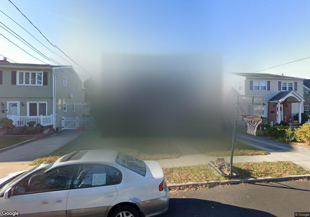
1015 Propp Ave Franklin Square, NY 11010
Estimated Value: $641,879 - $688,000
Studio
1
Bath
1,320
Sq Ft
$504/Sq Ft
Est. Value
About This Home
This home is located at 1015 Propp Ave, Franklin Square, NY 11010 and is currently estimated at $664,940, approximately $503 per square foot. 1015 Propp Ave is a home located in Nassau County with nearby schools including St Anne's School.
Ownership History
Date
Name
Owned For
Owner Type
Purchase Details
Closed on
Feb 9, 2021
Sold by
Broas Robert E and Broas Jean
Bought by
Broas David and Broas Jennifer M
Current Estimated Value
Home Financials for this Owner
Home Financials are based on the most recent Mortgage that was taken out on this home.
Original Mortgage
$350,000
Interest Rate
2.96%
Mortgage Type
New Conventional
Purchase Details
Closed on
Mar 28, 2001
Sold by
Amaral Louise Helen
Bought by
Broas Robert E
Create a Home Valuation Report for This Property
The Home Valuation Report is an in-depth analysis detailing your home's value as well as a comparison with similar homes in the area
Home Values in the Area
Average Home Value in this Area
Purchase History
| Date | Buyer | Sale Price | Title Company |
|---|---|---|---|
| Broas David | $450,000 | Judicial Title | |
| Broas Robert E | $160,000 | Howard Orourke |
Source: Public Records
Mortgage History
| Date | Status | Borrower | Loan Amount |
|---|---|---|---|
| Previous Owner | Broas David | $350,000 |
Source: Public Records
Tax History
| Year | Tax Paid | Tax Assessment Tax Assessment Total Assessment is a certain percentage of the fair market value that is determined by local assessors to be the total taxable value of land and additions on the property. | Land | Improvement |
|---|---|---|---|---|
| 2025 | $9,513 | $437 | $234 | $203 |
| 2024 | $3,890 | $460 | $247 | $213 |
Source: Public Records
Map
Nearby Homes
- 1035 Wool Ave
- 1004 Wool Ave
- 242 James St
- 280 Franklin Ave Unit 11
- 1020 Polk Ave
- 238 Jefferson St
- 1119 Theodora St
- 970 Benris Ave
- 1041 Mosefan St
- 1041 Russell St
- 1134 Rosegold St
- 1065 Russell St
- 298 Doris Ave
- 340 Doris Ave
- 1098 Russell St
- 1035 Glen Dr
- 1024 Oaks Dr
- 190 Commonwealth St
- 309 Litchfield Ave
- 191 Litchfield Ave
- 1011 Propp Ave
- 1019 Propp Ave
- 1007 Propp Ave
- 1033 Propp Ave
- 1023 Propp Ave
- 1016 Naple Ave
- 1020 Naple Ave
- 1012 Naple Ave
- 1003 Propp Ave
- 1024 Naple Ave
- 1008 Naple Ave
- 1027 Propp Ave
- 1016 Propp Ave
- 1020 Propp Ave
- 1012 Propp Ave
- 1004 Naple Ave
- 1028 Naple Ave Unit 10
- 997 Propp Ave
- 1024 Propp Ave
- 1008 Propp Ave
Your Personal Tour Guide
Ask me questions while you tour the home.