1015 Red Tail Ln Bellingham, WA 98226
Estimated Value: $1,245,000 - $1,442,182
4
Beds
4
Baths
3,655
Sq Ft
$370/Sq Ft
Est. Value
About This Home
This home is located at 1015 Red Tail Ln, Bellingham, WA 98226 and is currently estimated at $1,351,546, approximately $369 per square foot. 1015 Red Tail Ln is a home located in Whatcom County with nearby schools including Irene Reither Elementary School, Meridian Middle School, and Meridian High School.
Ownership History
Date
Name
Owned For
Owner Type
Purchase Details
Closed on
Oct 5, 2006
Sold by
C & M Properties Llc
Bought by
Young Mark K and Schraeder Young Rhonda
Current Estimated Value
Home Financials for this Owner
Home Financials are based on the most recent Mortgage that was taken out on this home.
Original Mortgage
$165,000
Outstanding Balance
$98,295
Interest Rate
6.43%
Mortgage Type
Purchase Money Mortgage
Estimated Equity
$1,253,251
Create a Home Valuation Report for This Property
The Home Valuation Report is an in-depth analysis detailing your home's value as well as a comparison with similar homes in the area
Home Values in the Area
Average Home Value in this Area
Purchase History
| Date | Buyer | Sale Price | Title Company |
|---|---|---|---|
| Young Mark K | $220,280 | Chicago Title Insurance |
Source: Public Records
Mortgage History
| Date | Status | Borrower | Loan Amount |
|---|---|---|---|
| Open | Young Mark K | $165,000 |
Source: Public Records
Tax History Compared to Growth
Tax History
| Year | Tax Paid | Tax Assessment Tax Assessment Total Assessment is a certain percentage of the fair market value that is determined by local assessors to be the total taxable value of land and additions on the property. | Land | Improvement |
|---|---|---|---|---|
| 2024 | $9,636 | $1,254,680 | $307,717 | $946,963 |
| 2023 | $9,636 | $1,239,652 | $397,285 | $842,367 |
| 2022 | $8,920 | $1,137,273 | $364,474 | $772,799 |
| 2021 | $7,995 | $888,484 | $284,742 | $603,742 |
| 2020 | $7,024 | $728,261 | $233,394 | $494,867 |
| 2019 | $6,312 | $641,652 | $205,637 | $436,015 |
| 2018 | $7,670 | $630,802 | $202,160 | $428,642 |
| 2017 | $6,710 | $583,119 | $177,854 | $405,265 |
| 2016 | $6,615 | $539,900 | $167,066 | $372,834 |
| 2015 | $6,638 | $529,939 | $163,984 | $365,955 |
| 2014 | -- | $515,844 | $159,622 | $356,222 |
| 2013 | -- | $498,063 | $154,120 | $343,943 |
Source: Public Records
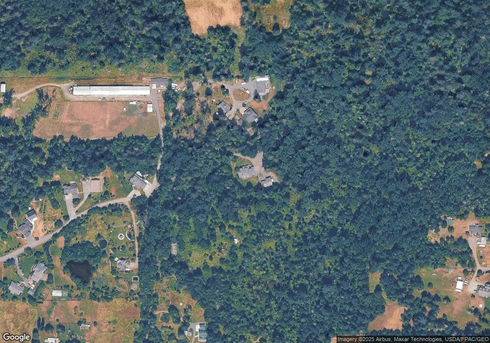
Map
Nearby Homes
- 5720 Denali Ln
- 5750 Denali Ln
- 858 E Smith Rd
- 739 Denali Ct
- 5707 Denali Ln
- 731 Denali Ct
- 740 Denali Ct
- 725 Denali Ct
- 720 Denali Ct
- 1321 E Smith Rd
- 5180 Penny Ln
- 562 E Smith Rd
- 504 E Smith Rd
- 5539 Noon Rd
- 353 E Silverado Ct
- 351 W Silverado Ct
- 1383 Ten Mile Rd
- 1041 Sterk Ln
- 5975 Hoag Ln
- 1891 E Smith Rd
- 1035 Red Tail Ln
- 1002 Red Tail Ln
- 999 Red Tail Ln
- 1009 Bellinger Rd
- 988 Red Tail Ln
- 963 Red Tail Ln
- 968 Red Tail Ln
- 5527 Boyer Rd
- 1000 Bellinger Rd
- 1129 E Axton Rd
- 5525 Boyer Rd
- 1069 E Axton Rd
- 949 Red Tail Ln
- 1095 E Axton Rd
- 5565 Boyer Rd
- 1135 E Axton Rd
- 5582 Hannegan Rd
- 1041 E Axton Rd
- 5440 Stephens Dr
- 5521 Boyer Rd