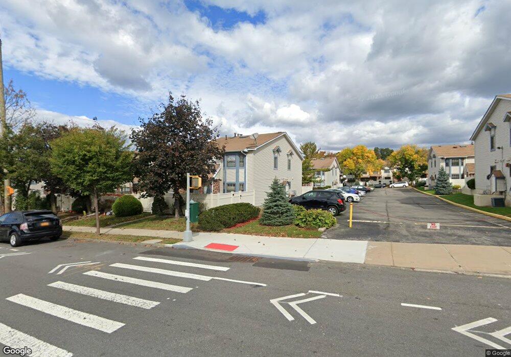
1015 Rockland Ave Unit A Staten Island, NY 10314
New Springville NeighborhoodEstimated Value: $547,200 - $608,000
3
Beds
2
Baths
1,248
Sq Ft
$463/Sq Ft
Est. Value
About This Home
This home is located at 1015 Rockland Ave Unit A, Staten Island, NY 10314 and is currently estimated at $577,550, approximately $462 per square foot. 1015 Rockland Ave Unit A is a home located in Richmond County with nearby schools including P.S. 69 - Daniel D. Tompkins, Is 72 Rocco Laurie, and Susan E Wagner High School.
Ownership History
Date
Name
Owned For
Owner Type
Purchase Details
Closed on
Sep 18, 2006
Sold by
Stephan Ann
Bought by
Tam Michael and Chan Siu Ling
Current Estimated Value
Home Financials for this Owner
Home Financials are based on the most recent Mortgage that was taken out on this home.
Original Mortgage
$283,200
Interest Rate
6.54%
Mortgage Type
Purchase Money Mortgage
Purchase Details
Closed on
Oct 1, 1996
Sold by
Chuisano Joan
Bought by
Stephan Ann
Create a Home Valuation Report for This Property
The Home Valuation Report is an in-depth analysis detailing your home's value as well as a comparison with similar homes in the area
Home Values in the Area
Average Home Value in this Area
Purchase History
| Date | Buyer | Sale Price | Title Company |
|---|---|---|---|
| Tam Michael | $354,000 | None Available | |
| Stephan Ann | $131,000 | -- |
Source: Public Records
Mortgage History
| Date | Status | Borrower | Loan Amount |
|---|---|---|---|
| Closed | Tam Michael | $283,200 |
Source: Public Records
Tax History Compared to Growth
Tax History
| Year | Tax Paid | Tax Assessment Tax Assessment Total Assessment is a certain percentage of the fair market value that is determined by local assessors to be the total taxable value of land and additions on the property. | Land | Improvement |
|---|---|---|---|---|
| 2025 | $4,137 | $32,670 | $2,187 | $30,483 |
| 2024 | $4,149 | $27,827 | $2,548 | $25,279 |
| 2023 | $3,930 | $20,753 | $2,413 | $18,340 |
| 2022 | $3,622 | $24,668 | $3,223 | $21,445 |
| 2021 | $3,584 | $22,212 | $3,223 | $18,989 |
| 2020 | $3,614 | $23,185 | $3,223 | $19,962 |
| 2019 | $3,542 | $20,148 | $3,223 | $16,925 |
| 2018 | $3,228 | $17,294 | $2,512 | $14,782 |
| 2017 | $3,035 | $16,316 | $2,574 | $13,742 |
| 2016 | $918 | $15,393 | $2,447 | $12,946 |
| 2015 | $857 | $15,393 | $2,490 | $12,903 |
| 2014 | $857 | $15,276 | $2,772 | $12,504 |
Source: Public Records
Map
Nearby Homes
- 143 Monahan Ave
- 28A Mcdivitt Ave Unit 11
- 8 Mcdivitt Ave Unit A
- 186 Monahan Ave
- 11 Shirra Ave Unit A
- 20 Sweetgum Ln
- 45 Braisted Ave
- 222 Monahan Ave
- 101 McVeigh Ave
- 29 Shirra Ave Unit 249
- 252A Ashworth Ave Unit 220
- 252 Ashworth Ave Unit A
- 22 Braisted Ave
- 69 Gina Ct Unit 289
- 333 Travis Ave
- 44 McVeigh Ave
- 63 Monahan Ave
- 181 McVeigh Ave
- 107 Denker Place
- 35 Monarch Ct
- 1015A Rockland Ave Unit 70
- 1015 Rockland Ave Unit 61
- 1017A Rockland Ave
- 1019A Rockland Ave
- 1019 Rockland Ave Unit 63
- 1019 Rockland Ave Unit A
- 1021A Rockland Ave Unit 67
- 1021 Rockland Ave Unit A
- 1001A Rockland Ave
- 1023A Rockland Ave
- 1023 Rockland Ave Unit 65
- 56A Mcdivitt Ave Unit 23
- 54 Mcdivitt Ave
- 54A Mcdivitt Ave Unit 22
- 54 Mcdivitt Ave Unit A
- 52 Mcdivitt Ave Unit 26
- 56 Mc Divitt Ave
- 48 Mcdivitt Ave Unit 27
- 52 Mcdivitt Ave Unit 21
- 46 Mc Divitt Ave Unit A