1015 S Lewis Ln Mustang, OK 73064
Estimated Value: $141,000 - $153,000
2
Beds
1
Bath
912
Sq Ft
$161/Sq Ft
Est. Value
About This Home
This home is located at 1015 S Lewis Ln, Mustang, OK 73064 and is currently estimated at $146,499, approximately $160 per square foot. 1015 S Lewis Ln is a home located in Canadian County with nearby schools including Mustang Elementary School, Mustang Horizon Intermediate School, and Mustang Middle School.
Ownership History
Date
Name
Owned For
Owner Type
Purchase Details
Closed on
Dec 2, 2011
Sold by
Allen Denise Marie and Allen Barry Wayne
Bought by
Allen Barry Wayne and Allen Denise Marie
Current Estimated Value
Home Financials for this Owner
Home Financials are based on the most recent Mortgage that was taken out on this home.
Original Mortgage
$74,689
Outstanding Balance
$51,410
Interest Rate
4.14%
Mortgage Type
FHA
Estimated Equity
$95,089
Purchase Details
Closed on
Feb 24, 1995
Sold by
Decker Dorthy
Purchase Details
Closed on
Feb 23, 1995
Sold by
Decker Dorthy
Purchase Details
Closed on
Jan 27, 1995
Sold by
The Laredo Co
Purchase Details
Closed on
Feb 15, 1992
Purchase Details
Closed on
Jun 22, 1990
Purchase Details
Closed on
Aug 15, 1988
Purchase Details
Closed on
Dec 1, 1986
Create a Home Valuation Report for This Property
The Home Valuation Report is an in-depth analysis detailing your home's value as well as a comparison with similar homes in the area
Home Values in the Area
Average Home Value in this Area
Purchase History
| Date | Buyer | Sale Price | Title Company |
|---|---|---|---|
| Allen Barry Wayne | -- | Old Republic Title | |
| -- | -- | -- | |
| -- | -- | -- | |
| -- | $4,000 | -- | |
| -- | -- | -- | |
| -- | $2,000 | -- | |
| -- | -- | -- | |
| -- | $666,700 | -- |
Source: Public Records
Mortgage History
| Date | Status | Borrower | Loan Amount |
|---|---|---|---|
| Open | Allen Barry Wayne | $74,689 |
Source: Public Records
Tax History Compared to Growth
Tax History
| Year | Tax Paid | Tax Assessment Tax Assessment Total Assessment is a certain percentage of the fair market value that is determined by local assessors to be the total taxable value of land and additions on the property. | Land | Improvement |
|---|---|---|---|---|
| 2024 | $738 | $8,645 | $1,880 | $6,765 |
| 2023 | $738 | $8,394 | $1,802 | $6,592 |
| 2022 | $722 | $8,149 | $1,712 | $6,437 |
| 2021 | $701 | $7,912 | $1,574 | $6,338 |
| 2020 | $681 | $7,681 | $1,443 | $6,238 |
| 2019 | $659 | $7,458 | $1,320 | $6,138 |
| 2018 | $650 | $7,240 | $1,278 | $5,962 |
| 2017 | $621 | $7,030 | $1,228 | $5,802 |
| 2016 | $601 | $7,030 | $1,232 | $5,798 |
| 2015 | $564 | $6,626 | $1,135 | $5,491 |
| 2014 | $564 | $6,433 | $1,080 | $5,353 |
Source: Public Records
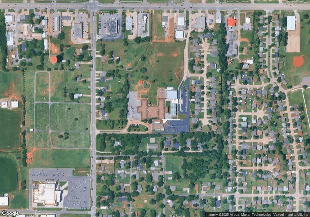
Map
Nearby Homes
- 138 E Carson Ln
- 3313 Little Creek Dr
- 3309 Little Creek Dr
- 3301 Little Creek Dr
- 3317 Little Creek Dr
- 3305 Little Creek Dr
- 3401 Little Creek Dr
- 4000 Becky Ln
- 4004 Becky Ln
- 3325 Little Creek Dr
- 3321 Little Creek Dr
- 3329 Little Creek Dr
- 3405 Little Creek Dr
- 3409 Little Creek Dr
- 3413 Little Creek Dr
- 4024 Becky Ln
- 316 E Greenwood Ln
- 531 E Juniper Ln
- 425 W Linden Dr
- 427 S Castlerock Circle Ln
- 142 E Dowden Ln
- 139 E Carson Ln
- 1014 S Lewis Ln
- 927 S Lewis Ln
- 1008 S Jones Ln
- 923 S Lewis Ln
- 139 E Dowden Ln
- 207 E Dowden Ln
- 1016 S Jones Ln
- 211 E Dowden Ln
- 920 S Jones Ln
- 916 S Jones Ln
- 1028 S Jones Ln
- 912 S Jones Ln
- 915 S Lewis Ln
- 146 E Carson Ln
- 126 E Dowden Ln
- 208 E Perry Ln
- 142 E Carson Ln
- 921 S Jones Ln