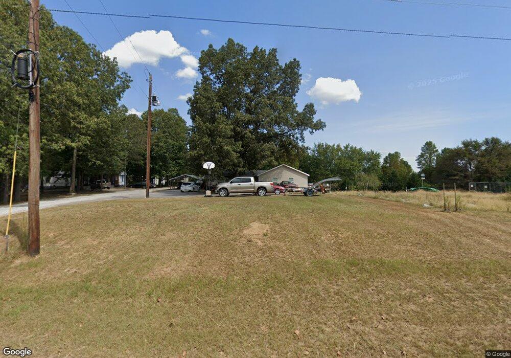
1015 Shelnutt Loop Phil Campbell, AL 35581
Estimated Value: $103,000 - $188,000
3
Beds
1
Bath
1,682
Sq Ft
$93/Sq Ft
Est. Value
About This Home
This home is located at 1015 Shelnutt Loop, Phil Campbell, AL 35581 and is currently estimated at $157,138, approximately $93 per square foot. 1015 Shelnutt Loop is a home located in Franklin County.
Ownership History
Date
Name
Owned For
Owner Type
Purchase Details
Closed on
Oct 7, 2019
Sold by
Robinson Clarice James
Bought by
Welch William F and Welch Betsy Ann
Current Estimated Value
Home Financials for this Owner
Home Financials are based on the most recent Mortgage that was taken out on this home.
Original Mortgage
$47,250
Interest Rate
3.7%
Mortgage Type
New Conventional
Purchase Details
Closed on
Aug 23, 2019
Sold by
Clinton James
Bought by
Welch William F and Welch Betsy Ann
Home Financials for this Owner
Home Financials are based on the most recent Mortgage that was taken out on this home.
Original Mortgage
$47,250
Interest Rate
3.7%
Mortgage Type
New Conventional
Create a Home Valuation Report for This Property
The Home Valuation Report is an in-depth analysis detailing your home's value as well as a comparison with similar homes in the area
Home Values in the Area
Average Home Value in this Area
Purchase History
| Date | Buyer | Sale Price | Title Company |
|---|---|---|---|
| Welch William F | -- | None Available | |
| Welch William F | $52,500 | None Available |
Source: Public Records
Mortgage History
| Date | Status | Borrower | Loan Amount |
|---|---|---|---|
| Previous Owner | Welch William F | $47,250 |
Source: Public Records
Tax History Compared to Growth
Tax History
| Year | Tax Paid | Tax Assessment Tax Assessment Total Assessment is a certain percentage of the fair market value that is determined by local assessors to be the total taxable value of land and additions on the property. | Land | Improvement |
|---|---|---|---|---|
| 2024 | $1 | $12,840 | $580 | $12,260 |
| 2023 | $1 | $11,960 | $560 | $11,400 |
| 2022 | $1 | $10,900 | $500 | $10,400 |
| 2021 | $1 | $9,900 | $500 | $9,400 |
| 2020 | $305 | $9,900 | $500 | $9,400 |
| 2019 | $37 | $10,720 | $500 | $10,220 |
| 2018 | $1 | $9,900 | $500 | $9,400 |
| 2017 | $1 | $8,500 | $400 | $8,100 |
| 2016 | $1 | $8,500 | $400 | $8,100 |
| 2015 | $1 | $9,700 | $400 | $9,300 |
| 2014 | $1 | $9,700 | $400 | $9,300 |
| 2013 | $1 | $9,400 | $400 | $9,000 |
Source: Public Records
Map
Nearby Homes
- 000 Alabama 243
- 482 Shelnutt Loop
- 0 Highway 81
- 0 Alabama 243
- 7331 County Highway 79
- 2210 County Highway 38
- 5390 County Hwy 81
- 73 Meadow Dr
- 1537 County Road 81
- 0 Hyde Rd Unit LotWP001 23713578
- 0 Hyde Rd
- 1190 Rail Splitter Rd
- 571 Cothrum Rd
- 364 Steele St
- 2206 Highway 63
- 0 Mayhall Dr
- 0 Highway 63
- 12 Dover Rd
- 1601 Kelley Rd
- 461 Cox Rd
- 6543 Highway 243
- 774 Shelnutt Loop
- 878 Shelnutt Loop
- 1201 Shelnutt Loop
- 727 Shelnutt Loop
- 699 Shelnutt Loop
- 1321 Shelnutt Loop
- 1007 Shelnutt Loop
- 390 Shelnutt Loop
- 4470 Highway 243
- 940 Shelnutt Loop
- 395 Shelnutt Loop
- 0 Shelnutt Lp Unit 507262
- 1509 Shelnutt Loop
- 623 Shelnutt Loop
- 8094 Highway 81
- 8094 Highway 81
- 234 Hutcheson Dr
- 7838 Highway 81
- 7672 Highway 81