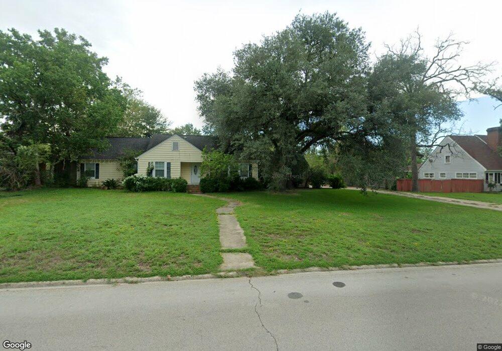
1015 W Grove Ave Lufkin, TX 75904
Estimated Value: $307,000 - $499,000
--
Bed
11
Baths
3,248
Sq Ft
$114/Sq Ft
Est. Value
About This Home
This home is located at 1015 W Grove Ave, Lufkin, TX 75904 and is currently estimated at $369,336, approximately $113 per square foot. 1015 W Grove Ave is a home located in Angelina County with nearby schools including Trout Primary School, Brookhollow Elementary School, and Lufkin Middle School.
Ownership History
Date
Name
Owned For
Owner Type
Purchase Details
Closed on
Apr 8, 2016
Sold by
Lasyone Lidia and Lasyone Thurman
Bought by
King Ronald
Current Estimated Value
Home Financials for this Owner
Home Financials are based on the most recent Mortgage that was taken out on this home.
Original Mortgage
$207,815
Outstanding Balance
$164,770
Interest Rate
3.62%
Mortgage Type
VA
Estimated Equity
$204,566
Purchase Details
Closed on
Oct 29, 2010
Sold by
Jordan Lawrence and Jordan Susie
Bought by
Bragg Lidia
Home Financials for this Owner
Home Financials are based on the most recent Mortgage that was taken out on this home.
Original Mortgage
$117,000
Interest Rate
4.41%
Mortgage Type
Purchase Money Mortgage
Create a Home Valuation Report for This Property
The Home Valuation Report is an in-depth analysis detailing your home's value as well as a comparison with similar homes in the area
Home Values in the Area
Average Home Value in this Area
Purchase History
| Date | Buyer | Sale Price | Title Company |
|---|---|---|---|
| King Ronald | -- | Community Title | |
| Bragg Lidia | $117,000 | None Available |
Source: Public Records
Mortgage History
| Date | Status | Borrower | Loan Amount |
|---|---|---|---|
| Open | King Ronald | $207,815 | |
| Previous Owner | Bragg Lidia | $117,000 |
Source: Public Records
Tax History Compared to Growth
Tax History
| Year | Tax Paid | Tax Assessment Tax Assessment Total Assessment is a certain percentage of the fair market value that is determined by local assessors to be the total taxable value of land and additions on the property. | Land | Improvement |
|---|---|---|---|---|
| 2025 | $7,753 | $370,980 | $10,720 | $360,260 |
| 2024 | $6,708 | $363,930 | $10,720 | $353,210 |
| 2023 | $5,799 | $364,680 | $10,720 | $353,960 |
| 2022 | $6,042 | $324,200 | $10,720 | $313,480 |
| 2021 | $5,941 | $297,450 | $10,720 | $286,730 |
| 2020 | $5,388 | $219,240 | $10,720 | $208,520 |
| 2019 | $5,699 | $219,240 | $10,720 | $208,520 |
| 2018 | $5,201 | $218,150 | $10,720 | $207,430 |
| 2017 | $4,953 | $207,760 | $10,720 | $197,040 |
| 2016 | $4,472 | $187,600 | $10,720 | $176,880 |
| 2015 | $2,748 | $164,390 | $10,720 | $153,670 |
| 2014 | $2,748 | $137,090 | $10,720 | $126,370 |
Source: Public Records
Map
Nearby Homes
- 620 Mantooth Ave
- 1007 Persimmon Ave
- 803 Moore Ave
- 1305 W Grove Ave
- 420 Mantooth Ave
- Lot 5 Shady Elm
- Lot 9 Shady Elm
- Lot 3 Shady Elm
- Lot 8 Shady Elm
- Lot 4 Shady Elm
- Lot 6 Shady Elm
- PID 159835 Broadmoor Dr
- PID 159834 Broadmoor Dr
- 402 S Bynum St
- 1311 approx. Branch St
- 103 Pine Branch Ct
- Tract 32 Walker Loop
- 806 Newsom Ave
- 808 Newsom Ave
- 122 Pine Branch Ct
- 1015 West Grove
- 1003 W Grove Ave
- 1017 W Grove Ave
- 1017 Grove St
- 1017 W Grove Ave
- 1017 W Grove Ave
- 808 Mantooth Ave
- 802 Mantooth Ave
- 822 Mantooth Ave
- 913 West Grove
- 1010 W Grove Ave
- 913 W Grove Ave
- 720 Mantooth Ave
- 1103 W Grove Ave
- 914 W Grove Ave
- 914 W Grove Ave
- 914 W Grove Ave
- 716 Mantooth Ave
- 909 W Grove Ave
- 902 Mantooth Ave