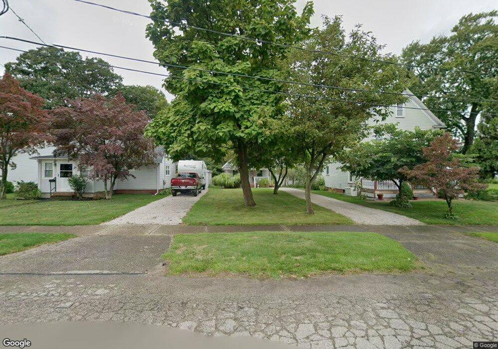
1015 Wrights Ave Conneaut, OH 44030
Estimated Value: $108,809 - $138,000
2
Beds
1
Bath
862
Sq Ft
$144/Sq Ft
Est. Value
About This Home
This home is located at 1015 Wrights Ave, Conneaut, OH 44030 and is currently estimated at $123,952, approximately $143 per square foot. 1015 Wrights Ave is a home located in Ashtabula County with nearby schools including Lakeshore Primary Elementary School, Gateway Elementary School, and Conneaut Middle School.
Ownership History
Date
Name
Owned For
Owner Type
Purchase Details
Closed on
Jan 6, 2022
Sold by
Kangas-Alves Marianne E
Bought by
Kangas Russell B and Kangas Gloria J
Current Estimated Value
Purchase Details
Closed on
Aug 15, 2013
Sold by
Kehoe Marianne E and Kangas Marianne E
Bought by
Kangas Marianne E
Purchase Details
Closed on
Nov 19, 2012
Sold by
Kangas Russell B
Bought by
Kangas Russell B and Kangas Gloria J
Create a Home Valuation Report for This Property
The Home Valuation Report is an in-depth analysis detailing your home's value as well as a comparison with similar homes in the area
Home Values in the Area
Average Home Value in this Area
Purchase History
| Date | Buyer | Sale Price | Title Company |
|---|---|---|---|
| Kangas Russell B | $130,249 | Lafferty Charles N | |
| Kangas Russell B | $130,249 | None Listed On Document | |
| Kangas Marianne E | -- | Buckeye Title | |
| Kangas Russell B | -- | None Available |
Source: Public Records
Tax History Compared to Growth
Tax History
| Year | Tax Paid | Tax Assessment Tax Assessment Total Assessment is a certain percentage of the fair market value that is determined by local assessors to be the total taxable value of land and additions on the property. | Land | Improvement |
|---|---|---|---|---|
| 2024 | $1,522 | $20,800 | $3,540 | $17,260 |
| 2023 | $988 | $20,800 | $3,540 | $17,260 |
| 2022 | $838 | $15,510 | $2,730 | $12,780 |
| 2021 | $852 | $15,510 | $2,730 | $12,780 |
| 2020 | $851 | $15,510 | $2,730 | $12,780 |
| 2019 | $569 | $10,120 | $1,300 | $8,820 |
| 2018 | $543 | $10,120 | $1,300 | $8,820 |
| 2017 | $563 | $10,120 | $1,300 | $8,820 |
| 2016 | $578 | $11,800 | $1,510 | $10,290 |
| 2015 | $584 | $11,800 | $1,510 | $10,290 |
| 2014 | $517 | $11,800 | $1,510 | $10,290 |
| 2013 | $705 | $16,600 | $2,280 | $14,320 |
Source: Public Records
Map
Nearby Homes
- 973 Buffalo St
- 290 Park Ave
- 1025 Harbor St Unit 35
- 0 Harbor St Unit 5122727
- 794 Buffalo St
- 982 Day St
- 770 Buffalo St
- 703 Sandusky St
- 716 Chestnut St
- 688 Grove St
- 169 River St
- 644 Mill St
- 630 Mill St
- 554 Sandusky St
- 0 Chestnut St Unit 5120761
- 533 Mill St
- 536 Mill St
- 381 Bliss Ave
- 405 Bliss Ave
- 281 Depot St
- 1009 Wrights Ave
- 1019 Wrights Ave
- 1005 Wrights Ave
- 997 Wrights Ave
- 1010 Wrights Ave
- 1020 Wrights Ave
- 995 Wrights Ave
- 18 Point Pleasant Dr
- 993 Wrights Ave
- 17 Point Pleasant Dr
- 19 Point Pleasant Dr
- 16 Point Pleasant Dr
- 20 Point Pleasant Dr
- 14 Point Pleasant Dr
- 15 Point Pleasant Dr
- 994 Wrights Ave
- 13 Point Pleasant Dr
- 988 Wrights Ave
- 12 Point Pleasant Dr
- 995 Mill St