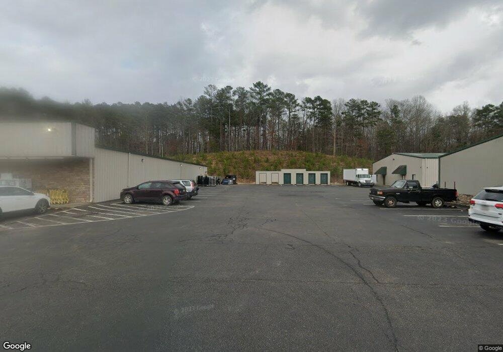
10150 Ball Ground Hwy Unit 400 Ball Ground, GA 30107
Estimated Value: $4,018,467
--
Bed
22
Baths
43,340
Sq Ft
$93/Sq Ft
Est. Value
About This Home
This home is located at 10150 Ball Ground Hwy Unit 400, Ball Ground, GA 30107 and is currently estimated at $4,018,467, approximately $92 per square foot. 10150 Ball Ground Hwy Unit 400 is a home located in Cherokee County with nearby schools including Ball Ground Elementary School, Creekland Middle School, and Creekview High School.
Ownership History
Date
Name
Owned For
Owner Type
Purchase Details
Closed on
Oct 12, 2021
Sold by
Holcomb Crossing Llc
Bought by
1500 Veterans Llc
Current Estimated Value
Purchase Details
Closed on
May 16, 2003
Sold by
Holcomb Mark
Bought by
Holcomb Crossing Llc
Home Financials for this Owner
Home Financials are based on the most recent Mortgage that was taken out on this home.
Original Mortgage
$927,661
Interest Rate
5.81%
Mortgage Type
Commercial
Purchase Details
Closed on
Dec 21, 1998
Sold by
Vero L and Vero B
Bought by
Richards Charlcie R
Create a Home Valuation Report for This Property
The Home Valuation Report is an in-depth analysis detailing your home's value as well as a comparison with similar homes in the area
Home Values in the Area
Average Home Value in this Area
Purchase History
| Date | Buyer | Sale Price | Title Company |
|---|---|---|---|
| 1500 Veterans Llc | $3,250,000 | -- | |
| Holcomb Crossing Llc | -- | -- | |
| Holcomb Mark | $125,100 | -- | |
| Richards Charlcie R | $82,000 | -- |
Source: Public Records
Mortgage History
| Date | Status | Borrower | Loan Amount |
|---|---|---|---|
| Previous Owner | Holcomb Mark | $927,661 |
Source: Public Records
Tax History Compared to Growth
Tax History
| Year | Tax Paid | Tax Assessment Tax Assessment Total Assessment is a certain percentage of the fair market value that is determined by local assessors to be the total taxable value of land and additions on the property. | Land | Improvement |
|---|---|---|---|---|
| 2024 | $39,881 | $1,332,688 | $503,200 | $829,488 |
| 2023 | $39,409 | $1,316,940 | $503,200 | $813,740 |
| 2022 | $39,287 | $1,300,000 | $503,128 | $796,872 |
| 2021 | $28,105 | $851,120 | $129,960 | $721,160 |
| 2020 | $29,756 | $890,496 | $86,640 | $803,856 |
| 2019 | $25,831 | $779,880 | $72,200 | $707,680 |
| 2018 | $26,172 | $779,200 | $72,200 | $707,000 |
| 2017 | $26,626 | $1,948,100 | $72,200 | $707,040 |
| 2016 | $26,626 | $1,986,700 | $72,200 | $722,480 |
| 2015 | $27,682 | $2,003,700 | $72,200 | $729,280 |
| 2014 | $28,068 | $2,014,500 | $72,200 | $733,600 |
Source: Public Records
Map
Nearby Homes
- 9975 Ball Ground Hwy
- 10494 Ball Ground Hwy
- 463 Tom Avery Dr
- 150 N Mountain Brooke Dr
- 608 Madison Ct
- 450 Tom Avery Dr
- 277 Reese Way
- 421 Tom Avery Dr
- 417 Tom Avery Dr
- 323 Reese Way
- 127 Mills Ln
- 338 Reese Way
- The Dillard Plan at Malone’s Pond
- The Evans Plan at Malone’s Pond
- The Vinings Plan at Malone’s Pond
- The Brooks Plan at Malone’s Pond
- The Bainbridge Plan at Malone’s Pond
- The Ashburn Plan at Malone’s Pond
- The Trenton Plan at Malone’s Pond
- The Desoto Plan at Malone’s Pond
- 10150 Ball Ground Hwy Unit 106
- 10150 Ball Ground Hwy Unit 103
- 10150 Ball Ground Hwy
- 10150 Ball Ground Hwy Unit 206
- 10150 Ball Ground Hwy Unit 108
- 1547 Old Canton Rd
- 1599 Old Canton Rd
- 1561 Old Canton Rd
- 125 Old Canton Ct
- 1587 Old Canton Rd
- 10061 Ball Ground Hwy
- 1451 Old Canton Rd
- 2323 Old Canton Ct
- 1617 Old Canton Rd
- 1574 Old Canton Rd
- 1628 Old Canton Rd
- 1530 Old Canton Rd
- 105 Old Canton Ct
- 1643 Old Canton Rd
- 1524 Old Canton Rd