10150 S Route N Columbia, MO 65203
Estimated Value: $211,000 - $440,000
3
Beds
2
Baths
1,584
Sq Ft
$191/Sq Ft
Est. Value
About This Home
This home is located at 10150 S Route N, Columbia, MO 65203 and is currently estimated at $302,008, approximately $190 per square foot. 10150 S Route N is a home located in Boone County with nearby schools including Rock Bridge Elementary School, Ann Hawkins Gentry Middle School, and Rock Bridge High School.
Ownership History
Date
Name
Owned For
Owner Type
Purchase Details
Closed on
Aug 14, 2008
Sold by
Parsons Thomas I and Early Bridget P
Bought by
Bandy David
Current Estimated Value
Home Financials for this Owner
Home Financials are based on the most recent Mortgage that was taken out on this home.
Original Mortgage
$114,285
Outstanding Balance
$75,192
Interest Rate
6.38%
Mortgage Type
Purchase Money Mortgage
Estimated Equity
$226,816
Purchase Details
Closed on
Dec 7, 2005
Sold by
Bartmess Reggie and Borien Lola
Bought by
Baertmess Reggie and Obrian Lola J
Create a Home Valuation Report for This Property
The Home Valuation Report is an in-depth analysis detailing your home's value as well as a comparison with similar homes in the area
Home Values in the Area
Average Home Value in this Area
Purchase History
| Date | Buyer | Sale Price | Title Company |
|---|---|---|---|
| Bandy David | -- | Boone Central Title Company | |
| Baertmess Reggie | -- | None Available | |
| Obrian Loa | -- | None Available |
Source: Public Records
Mortgage History
| Date | Status | Borrower | Loan Amount |
|---|---|---|---|
| Open | Bandy David | $114,285 |
Source: Public Records
Tax History Compared to Growth
Tax History
| Year | Tax Paid | Tax Assessment Tax Assessment Total Assessment is a certain percentage of the fair market value that is determined by local assessors to be the total taxable value of land and additions on the property. | Land | Improvement |
|---|---|---|---|---|
| 2025 | $1,054 | $16,967 | $950 | $16,017 |
| 2024 | $1,054 | $15,428 | $950 | $14,478 |
| 2023 | $1,046 | $15,428 | $950 | $14,478 |
| 2022 | $968 | $14,288 | $950 | $13,338 |
| 2021 | $970 | $14,288 | $950 | $13,338 |
| 2020 | $921 | $12,764 | $950 | $11,814 |
| 2019 | $921 | $12,764 | $950 | $11,814 |
| 2018 | $844 | $0 | $0 | $0 |
| 2017 | $834 | $11,818 | $950 | $10,868 |
| 2016 | $833 | $11,818 | $950 | $10,868 |
| 2015 | $762 | $11,818 | $950 | $10,868 |
| 2014 | $768 | $11,818 | $950 | $10,868 |
Source: Public Records
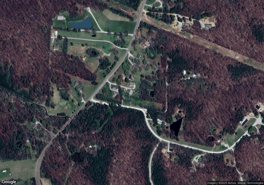
Map
Nearby Homes
- 11950 State Route N
- 9747 South Route N
- LOT 210 E Monaco Ct
- LOT 243 Brook Valley Dr
- LOT 209 E Monaco Ct
- LOT 201 E Brook Valley Dr
- 214 E Brook Valley Dr
- LOT 202 E Brook Valley Dr
- 1152 E Bluebird Ln
- LOT 242 E Brook Valley Dr
- LOT 6 Lagos Dr
- LOT 222 S Lagos Dr
- LOT 239 S Lagos Dr
- LOT 240 Lagos Dr
- LOT 205 S Lagos Dr
- LOT 237 S Lagos Dr
- 370 W High Point Ln
- TBD E Bluebird Ln
- 70 E High Point Ln
- 9600 S Smith Hatchery Rd
- 10130 S Route N
- 205 E Audubon Rd
- 10120 S Route N
- 10120 N Route N
- 10160 S Route N
- 10160 S Route N
- 10100 S Route N
- 10050 S Route N
- 51 E Audubon Rd
- 21 E Audubon Rd
- 10020 S Route N
- 10121 S Route N
- 31 E Audubon Rd
- . Audobon Dr
- 9950 S Route N
- 10023 S Route N
- 72 E Audubon Rd
- 0 South Route N
- TR 1 South Route N
- TR 2 South Route N