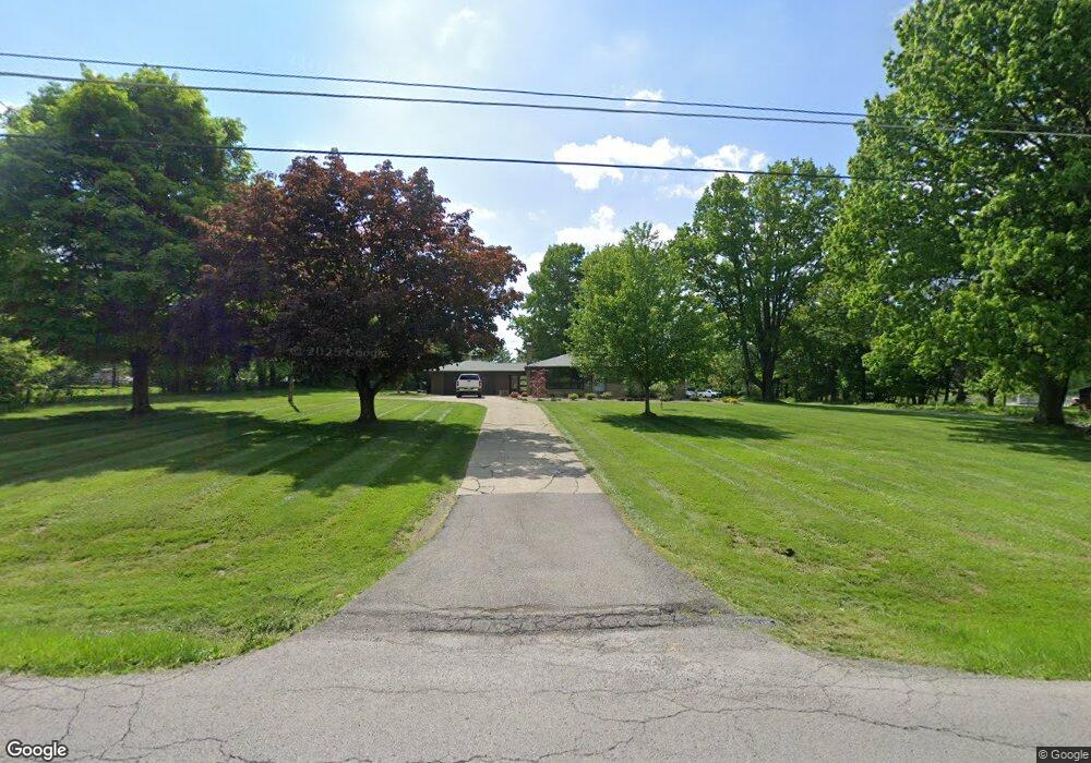
10150 Unity Rd New Middletown, OH 44442
Estimated Value: $243,000 - $402,000
3
Beds
2
Baths
1,614
Sq Ft
$198/Sq Ft
Est. Value
About This Home
This home is located at 10150 Unity Rd, New Middletown, OH 44442 and is currently estimated at $320,075, approximately $198 per square foot. 10150 Unity Rd is a home located in Mahoning County with nearby schools including Springfield Elementary School, Springfield Intermediate Middle School, and Springfield High School.
Ownership History
Date
Name
Owned For
Owner Type
Purchase Details
Closed on
Apr 30, 2021
Sold by
Brungard Mark R and Brungard Kari L
Bought by
Bader Joshua R
Current Estimated Value
Home Financials for this Owner
Home Financials are based on the most recent Mortgage that was taken out on this home.
Original Mortgage
$218,000
Outstanding Balance
$197,562
Interest Rate
3.1%
Mortgage Type
New Conventional
Estimated Equity
$122,513
Purchase Details
Closed on
Nov 4, 2020
Sold by
Brungard Kari L and Barger Patricia D
Bought by
Brungard Mark R and Brungard Kari L
Purchase Details
Closed on
Jan 28, 2020
Sold by
Barger Patricia D and Brungard Kari L
Bought by
Brungard Kari L and Brungard Mark R
Purchase Details
Closed on
Nov 13, 1989
Bought by
Barger Patricia D
Create a Home Valuation Report for This Property
The Home Valuation Report is an in-depth analysis detailing your home's value as well as a comparison with similar homes in the area
Home Values in the Area
Average Home Value in this Area
Purchase History
| Date | Buyer | Sale Price | Title Company |
|---|---|---|---|
| Bader Joshua R | $250,000 | None Available | |
| Brungard Mark R | -- | None Available | |
| Brungard Kari L | -- | None Available | |
| Barger Patricia D | -- | -- |
Source: Public Records
Mortgage History
| Date | Status | Borrower | Loan Amount |
|---|---|---|---|
| Open | Bader Joshua R | $218,000 |
Source: Public Records
Tax History Compared to Growth
Tax History
| Year | Tax Paid | Tax Assessment Tax Assessment Total Assessment is a certain percentage of the fair market value that is determined by local assessors to be the total taxable value of land and additions on the property. | Land | Improvement |
|---|---|---|---|---|
| 2024 | $3,121 | $77,020 | $16,610 | $60,410 |
| 2023 | $3,181 | $77,020 | $16,610 | $60,410 |
| 2022 | $2,656 | $59,790 | $16,610 | $43,180 |
| 2021 | $2,728 | $59,790 | $16,610 | $43,180 |
| 2020 | $2,691 | $59,790 | $16,610 | $43,180 |
| 2019 | $2,543 | $54,490 | $16,610 | $37,880 |
| 2018 | $2,512 | $54,490 | $16,610 | $37,880 |
| 2017 | $2,594 | $54,490 | $16,610 | $37,880 |
| 2016 | $2,679 | $57,560 | $14,420 | $43,140 |
| 2015 | $2,607 | $57,560 | $14,420 | $43,140 |
| 2014 | $2,619 | $57,560 | $14,420 | $43,140 |
| 2013 | $2,595 | $57,560 | $14,420 | $43,140 |
Source: Public Records
Map
Nearby Homes
- 4035 Shelly Lynn Dr
- 4025 Shelly Lynn Dr
- 10250 Midway Dr
- 10105 Carrie Ct
- 10115 Carrie Ct
- 0 Sandy Ct Unit 5110511
- 170 Sandy Ct Unit 11
- 170 Sandy Ct Unit 7
- 0 Meadowbrook Dr Unit 5110501
- 56 Jeffrey Ln
- 93 Woodland Dr
- 4940 E Calla Rd
- 0 Youngstown - Pittsburgh Rd Unit 5110475
- 76 Stacy Dr
- 9825 Struthers Rd
- 8736 Harvest Glenn Trail Unit 10
- 8740 Harvest Glenn Trail Unit 11
- 8748 Harvest Glenn Trail Unit 13
- 8744 Harvest Glenn Trail Unit 12
- 8732 Harvest Glenn Trail Unit 9
- 10186 Unity Rd
- 10200 Carrousel Woods Dr
- 10220 Carrousel Woods Dr
- 10205 Shelly Lynn Dr
- 10230 Carrousel Woods Dr
- 10200 Unity Rd
- 10225 Shelly Lynn Dr
- 10245 Carrousel Woods Dr
- 3857 Calla Rd E
- 3905 Calla Rd E
- 1 Unity Rd
- 15 E Calla Rd Unit 15
- 11 E Calla Rd
- 10247 Carrousel Woods Dr
- 3980 Calla Rd E
- 10295 Carrousel Woods Dr
- 10255 Carrousel Woods Dr
- 14 E Calla Rd
- 12 E Calla Rd
- 10305 Carrousel Woods Dr