10151 Gloucester Rd Streetsboro, OH 44241
Estimated Value: $352,000 - $390,000
3
Beds
3
Baths
2,027
Sq Ft
$182/Sq Ft
Est. Value
About This Home
This home is located at 10151 Gloucester Rd, Streetsboro, OH 44241 and is currently estimated at $369,323, approximately $182 per square foot. 10151 Gloucester Rd is a home located in Portage County with nearby schools including Campus Intermediate Elementary School, Henry Defer Intermediate Elementary School, and Streetsboro Middle School.
Ownership History
Date
Name
Owned For
Owner Type
Purchase Details
Closed on
Feb 20, 2007
Sold by
Cantelmo Tina
Bought by
Cantelmo Frank and Cantelmo Gretchen
Current Estimated Value
Purchase Details
Closed on
Sep 12, 2001
Sold by
Kunkle Michael A and Ellen Mary
Bought by
Layden Mary Ellen and Kunkle Mary Ellen
Purchase Details
Closed on
Nov 15, 1999
Sold by
Whitlatch Co
Bought by
Kunkle Michael A and Kunkle Mary Ellen
Home Financials for this Owner
Home Financials are based on the most recent Mortgage that was taken out on this home.
Original Mortgage
$150,300
Interest Rate
7.88%
Create a Home Valuation Report for This Property
The Home Valuation Report is an in-depth analysis detailing your home's value as well as a comparison with similar homes in the area
Home Values in the Area
Average Home Value in this Area
Purchase History
| Date | Buyer | Sale Price | Title Company |
|---|---|---|---|
| Cantelmo Frank | -- | Attorney | |
| Layden Mary Ellen | -- | -- | |
| Kunkle Michael A | $188,000 | General Title Agency Inc |
Source: Public Records
Mortgage History
| Date | Status | Borrower | Loan Amount |
|---|---|---|---|
| Previous Owner | Kunkle Michael A | $150,300 |
Source: Public Records
Tax History
| Year | Tax Paid | Tax Assessment Tax Assessment Total Assessment is a certain percentage of the fair market value that is determined by local assessors to be the total taxable value of land and additions on the property. | Land | Improvement |
|---|---|---|---|---|
| 2025 | $4,426 | $106,820 | $14,000 | $92,820 |
| 2024 | $4,414 | $106,820 | $14,000 | $92,820 |
| 2023 | $4,219 | $83,580 | $12,250 | $71,330 |
| 2022 | $4,225 | $83,580 | $12,250 | $71,330 |
| 2021 | $4,241 | $83,580 | $12,250 | $71,330 |
| 2020 | $4,199 | $75,950 | $12,250 | $63,700 |
| 2019 | $4,239 | $75,950 | $12,250 | $63,700 |
| 2018 | $3,480 | $68,640 | $13,230 | $55,410 |
| 2017 | $3,435 | $68,640 | $13,230 | $55,410 |
| 2016 | $3,408 | $68,640 | $13,230 | $55,410 |
| 2015 | $3,442 | $68,640 | $13,230 | $55,410 |
| 2014 | $3,378 | $63,560 | $12,250 | $51,310 |
| 2013 | $3,364 | $63,560 | $12,250 | $51,310 |
Source: Public Records
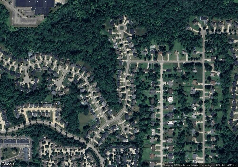
Map
Nearby Homes
- 815 Heath Ln
- 10203 Autumn Cir
- 769 Holborn Rd
- 10218 Ridgeview Ct
- 1295 Vantage Way
- 440 Kimberly Dr
- 572 David Dr
- 632 Edmond Ave
- 9859 State Route 43
- 1426 Lancelot St
- 9978 Mordred Ln
- 1471 Lancelot St
- 10057 William Henry Dr
- 1517 Lady Anne
- 1239 Apache Pass
- 10164 William Henry Dr
- 9979 Lady Catherine
- 1612 Mids Ct
- 10252 Wellman Rd Unit 19
- 1485 Pike Pkwy
- 10141 Gloucester Rd
- 10161 Gloucester Rd
- 10131 Gloucester Rd
- 10171 Gloucester Rd
- 10160 Gloucester Rd
- 10121 Gloucester Rd
- 10170 Gloucester Rd
- 10140 Gloucester Rd
- 907 Holborn Rd
- 905 Holborn Rd
- 911 Holborn Rd
- 10181 Gloucester Rd
- 915 Holborn Rd
- 10130 Gloucester Rd
- 10180 Gloucester Rd
- 901 Holborn Rd
- 919 Holborn Rd
- 923 Holborn Rd
- 10120 Gloucester Rd
- 10191 Gloucester Rd
Your Personal Tour Guide
Ask me questions while you tour the home.