10151 Haselby Ln Marshfield, WI 54449
Estimated Value: $612,000 - $931,000
Studio
--
Bath
--
Sq Ft
218,671
Sq Ft Lot
About This Home
This home is located at 10151 Haselby Ln, Marshfield, WI 54449 and is currently estimated at $802,307. 10151 Haselby Ln is a home with nearby schools including Marshfield High School, Marshfield Childrens House, and Immanuel Lutheran School.
Ownership History
Date
Name
Owned For
Owner Type
Purchase Details
Closed on
Jun 27, 2020
Sold by
Esker Kelly L and Esker Jennifer L
Bought by
Golemgeski Timothy and Bauer Alison
Current Estimated Value
Home Financials for this Owner
Home Financials are based on the most recent Mortgage that was taken out on this home.
Original Mortgage
$679,500
Outstanding Balance
$595,776
Interest Rate
3.1%
Mortgage Type
New Conventional
Estimated Equity
$206,531
Purchase Details
Closed on
Apr 28, 2008
Sold by
Haselby Ray C and Haselby Connie E
Bought by
Esker Kelly L and Esker Jennifer L
Create a Home Valuation Report for This Property
The Home Valuation Report is an in-depth analysis detailing your home's value as well as a comparison with similar homes in the area
Purchase History
| Date | Buyer | Sale Price | Title Company |
|---|---|---|---|
| Golemgeski Timothy | $755,000 | None Available | |
| Esker Kelly L | $66,000 | Vanguard Title Llc |
Source: Public Records
Mortgage History
| Date | Status | Borrower | Loan Amount |
|---|---|---|---|
| Open | Golemgeski Timothy | $679,500 |
Source: Public Records
Tax History
| Year | Tax Paid | Tax Assessment Tax Assessment Total Assessment is a certain percentage of the fair market value that is determined by local assessors to be the total taxable value of land and additions on the property. | Land | Improvement |
|---|---|---|---|---|
| 2025 | $8,080 | $730,200 | $72,100 | $658,100 |
| 2024 | $6,683 | $396,500 | $30,300 | $366,200 |
| 2023 | $6,135 | $396,500 | $30,300 | $366,200 |
| 2022 | $6,725 | $396,500 | $30,300 | $366,200 |
| 2021 | $6,525 | $396,500 | $30,300 | $366,200 |
| 2020 | $6,347 | $396,500 | $30,300 | $366,200 |
| 2019 | $5,546 | $342,600 | $30,300 | $312,300 |
| 2018 | $5,655 | $342,600 | $30,300 | $312,300 |
| 2017 | $5,681 | $342,600 | $30,300 | $312,300 |
| 2016 | $5,679 | $342,600 | $30,300 | $312,300 |
| 2015 | $5,709 | $342,600 | $30,300 | $312,300 |
Source: Public Records
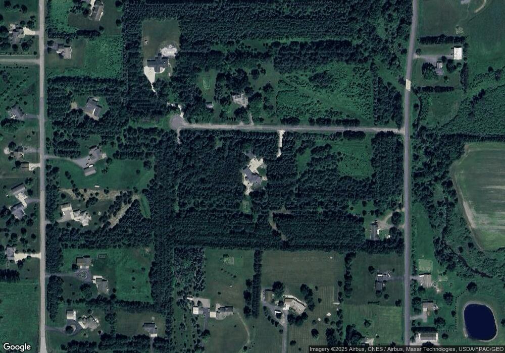
Map
Nearby Homes
- 9934 W Ives St
- 2112 W 3rd St
- 404 S Cypress Ave
- 1801 W Andrea St
- 1808 W Andrea St
- 1709 W Andrea St
- 1133 Ridge Rd
- 404 S Birch Ave
- 2909 W Mann St
- 1200 W State St
- 1832 Pheasant Run Dr Unit 2B
- 200890 Robin Rd
- 1922 Pheasant Run Dr Unit 6B
- 1601 Immanuel Ct
- 1002 W Blodgett St
- 1601 Arlington St
- 1307 N Wood Ave
- 718 S Drake Ave
- 901 W North St
- 1110 W Arlington
- 10168 Haselby Ln
- 10192 Haselby Ln
- 11953 Wren Rd
- 10144 County Road Y
- 10170 County Road Y
- 10170 County Road Y Unit Lots 2 & 3
- 11921 Wren Rd
- 11982 Roberta Ln
- 11936 Roberta Ln
- 12002 Roberta Ln
- 10192 County Road Y
- 10112 W Ives St
- 11956 Roberta Ln
- 11918 Wren Rd
- 12018 Wren Rd
- 11912 Roberta Ln
- 10108 W Ives St
- 12032 Roberta Ln
- 12050 Roberta Ln
- 10115 County Road Y
Your Personal Tour Guide
Ask me questions while you tour the home.