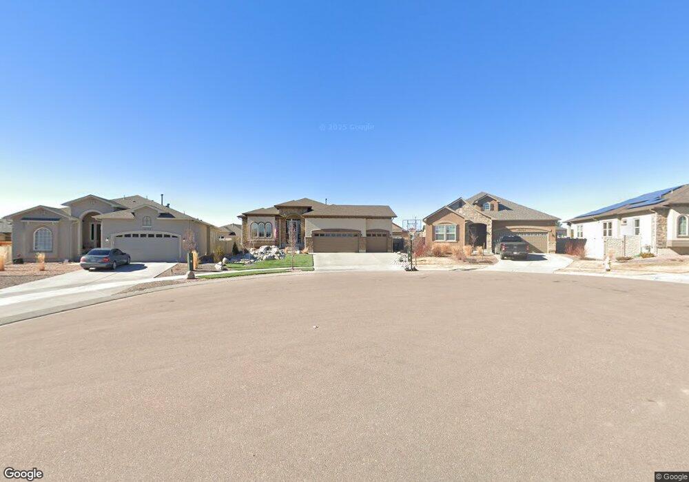
10152 Boulder Creek Way Peyton, CO 80831
Falcon NeighborhoodEstimated Value: $655,000 - $679,063
5
Beds
4
Baths
4,017
Sq Ft
$166/Sq Ft
Est. Value
About This Home
This home is located at 10152 Boulder Creek Way, Peyton, CO 80831 and is currently estimated at $667,516, approximately $166 per square foot. 10152 Boulder Creek Way is a home located in El Paso County with nearby schools including Woodmen Hills Elementary School, Falcon Middle School, and Falcon High School.
Ownership History
Date
Name
Owned For
Owner Type
Purchase Details
Closed on
Mar 18, 2022
Sold by
Millard Michael A
Bought by
Cord Nathaniel S and Cord Elizabeth A
Current Estimated Value
Home Financials for this Owner
Home Financials are based on the most recent Mortgage that was taken out on this home.
Original Mortgage
$699,300
Outstanding Balance
$655,113
Interest Rate
4.16%
Mortgage Type
VA
Estimated Equity
$12,403
Purchase Details
Closed on
Jan 31, 2019
Sold by
Covington Homes Llc
Bought by
Millard Michael A and Millard Lauren W
Home Financials for this Owner
Home Financials are based on the most recent Mortgage that was taken out on this home.
Original Mortgage
$140,000
Interest Rate
4.6%
Mortgage Type
New Conventional
Create a Home Valuation Report for This Property
The Home Valuation Report is an in-depth analysis detailing your home's value as well as a comparison with similar homes in the area
Home Values in the Area
Average Home Value in this Area
Purchase History
| Date | Buyer | Sale Price | Title Company |
|---|---|---|---|
| Cord Nathaniel S | $675,000 | New Title Company Name | |
| Millard Michael A | $444,292 | Land Title Guarantee Co |
Source: Public Records
Mortgage History
| Date | Status | Borrower | Loan Amount |
|---|---|---|---|
| Open | Cord Nathaniel S | $699,300 | |
| Previous Owner | Millard Michael A | $140,000 |
Source: Public Records
Tax History Compared to Growth
Tax History
| Year | Tax Paid | Tax Assessment Tax Assessment Total Assessment is a certain percentage of the fair market value that is determined by local assessors to be the total taxable value of land and additions on the property. | Land | Improvement |
|---|---|---|---|---|
| 2025 | $4,203 | $44,330 | -- | -- |
| 2024 | $4,069 | $44,690 | $7,200 | $37,490 |
| 2022 | $3,407 | $33,760 | $5,910 | $27,850 |
| 2021 | $3,532 | $34,730 | $6,080 | $28,650 |
| 2020 | $3,380 | $30,820 | $5,510 | $25,310 |
| 2019 | $2,809 | $25,760 | $5,510 | $20,250 |
| 2018 | $1,841 | $16,710 | $16,710 | $0 |
| 2017 | $46 | $440 | $440 | $0 |
Source: Public Records
Map
Nearby Homes
- 10223 Capital Peak Way
- 10089 Golf Crest Dr
- 12459 Handles Peak Way
- 10368 Mount Evans Dr
- 10398 Mount Evans Dr
- 10388 Mount Wilson Place
- 10173 Angeles Rd
- 10433 Capital Peak Way
- 12272 Isle Royale Dr
- 12780 Enclave Scenic Dr
- 12216 Chimney Smoke Dr
- 9812 Fairway Glen Dr
- 12252 Point Reyes Dr
- 12860 Stone Valley Dr
- 12868 Stone Valley Dr
- 9805 Granite Park Ln
- 12646 Windingwalk Dr
- 12846 Granite Ridge Dr
- 9962 Hidden Ranch Ct
- 9880 Everglades Dr
- 10132 Boulder Creek Way
- 10172 Boulder Creek Way
- 10147 Stonemont Dr
- 10157 Stonemont Dr
- 10192 Boulder Creek Way
- 10137 Stonemont Dr
- 10167 Stonemont Dr
- 12548 Stone Valley Dr
- 12556 Stone Valley Dr
- 12540 Stone Valley Dr
- 12564 Stone Valley Dr
- 12524 Stone Valley Dr
- 10177 Stonemont Dr
- 10191 Boulder Creek Way
- 10171 Boulder Creek Way
- 10151 Boulder Creek Way
- 10131 Boulder Creek Way
- 10111 Boulder Creek Way
- 10138 Stonemont Dr
- 12555 Stone Valley Dr