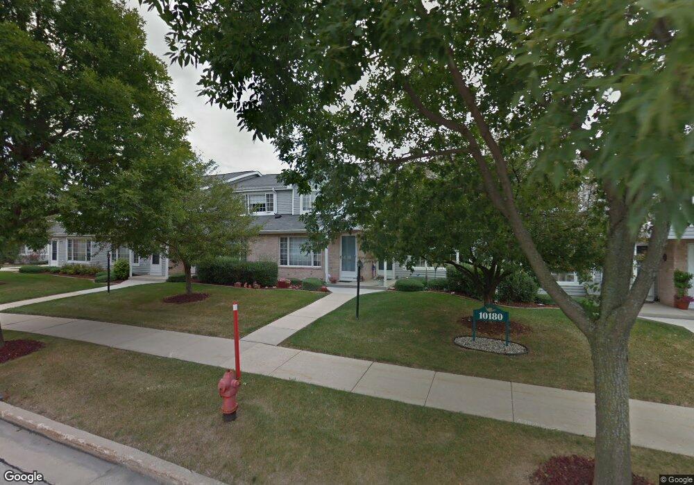
10152 W Whitnall Edge Dr Unit C Franklin, WI 53132
Estimated Value: $265,977 - $281,000
2
Beds
3
Baths
1,362
Sq Ft
$201/Sq Ft
Est. Value
About This Home
This home is located at 10152 W Whitnall Edge Dr Unit C, Franklin, WI 53132 and is currently estimated at $273,244, approximately $200 per square foot. 10152 W Whitnall Edge Dr Unit C is a home located in Milwaukee County with nearby schools including Hales Corners Elementary School, Whitnall Middle School, and Whitnall High School.
Ownership History
Date
Name
Owned For
Owner Type
Purchase Details
Closed on
Aug 19, 2022
Sold by
Washkuhn Susan M
Bought by
Susan M Washkuhn Revocable Living Trust
Current Estimated Value
Purchase Details
Closed on
Apr 27, 2001
Sold by
Doro Todd K
Bought by
Washkuhn Mike O and Washkuhn Susan M
Home Financials for this Owner
Home Financials are based on the most recent Mortgage that was taken out on this home.
Original Mortgage
$108,605
Interest Rate
7.02%
Mortgage Type
VA
Purchase Details
Closed on
Jul 28, 1997
Sold by
Doro David M and Doro Holly
Bought by
Doro Todd K
Home Financials for this Owner
Home Financials are based on the most recent Mortgage that was taken out on this home.
Original Mortgage
$30,000
Interest Rate
7.56%
Mortgage Type
Purchase Money Mortgage
Create a Home Valuation Report for This Property
The Home Valuation Report is an in-depth analysis detailing your home's value as well as a comparison with similar homes in the area
Home Values in the Area
Average Home Value in this Area
Purchase History
| Date | Buyer | Sale Price | Title Company |
|---|---|---|---|
| Susan M Washkuhn Revocable Living Trust | -- | -- | |
| Washkuhn Mike O | $117,000 | -- | |
| Doro Todd K | $102,500 | -- |
Source: Public Records
Mortgage History
| Date | Status | Borrower | Loan Amount |
|---|---|---|---|
| Previous Owner | Washkuhn Mike O | $108,605 | |
| Previous Owner | Doro Todd K | $30,000 |
Source: Public Records
Tax History Compared to Growth
Tax History
| Year | Tax Paid | Tax Assessment Tax Assessment Total Assessment is a certain percentage of the fair market value that is determined by local assessors to be the total taxable value of land and additions on the property. | Land | Improvement |
|---|---|---|---|---|
| 2024 | $1,631 | -- | -- | -- |
| 2023 | $2,880 | $206,000 | $12,800 | $193,200 |
| 2022 | $3,160 | $188,200 | $12,800 | $175,400 |
| 2021 | $3,774 | $176,600 | $12,000 | $164,600 |
| 2020 | $3,250 | $0 | $0 | $0 |
| 2019 | $3,829 | $168,900 | $12,000 | $156,900 |
| 2018 | $3,128 | $0 | $0 | $0 |
| 2017 | $3,523 | $146,700 | $12,000 | $134,700 |
| 2015 | -- | $121,900 | $12,000 | $109,900 |
| 2013 | -- | $121,900 | $12,000 | $109,900 |
Source: Public Records
Map
Nearby Homes
- 10380 W Whitnall Edge Cir Unit H
- 10464 W Whitnall Edge Dr Unit 203
- 6512 S Parkedge Cir Unit 118B
- 6749 S Prairie Wood Ln
- 6741 S Prairie Wood Ln
- Lt31 S Lory Ln
- 11310 Haleco Ln
- 5714 S 107th St
- 10555 W Parnell Ave
- 7084 S Fieldstone Ct Unit 43
- 8866 Greenmeadow Ln
- 5531 S 110th St
- 6433 S 121st St
- 11931 W Janesville Rd
- 6100 W Stone Hedge Dr Unit 320
- 10201 Brookside Dr
- 9839 Brookside Dr
- Lt2 S Ballpark Dr
- Lt1 S Ballpark Dr
- 5305 S 110th St
- 10154 W Whitnall Edge Dr Unit G
- 10154 W Whitnall Edge Dr Unit F
- 10154 W Whitnall Edge Dr Unit E
- 10154 W Whitnall Edge Dr Unit D
- 10154 W Whitnall Edge Dr Unit C
- 10154 W Whitnall Edge Dr Unit B
- 10154 W Whitnall Edge Dr Unit A
- 10152 W Whitnall Edge Dr Unit G
- 10152 W Whitnall Edge Dr Unit F
- 10152 W Whitnall Edge Dr Unit D
- 10152 W Whitnall Edge Dr Unit B
- 10152 W Whitnall Edge Dr Unit A
- 10150 W Whitnall Edge Dr Unit G
- 10150 W Whitnall Edge Dr Unit F
- 10150 W Whitnall Edge Dr Unit E
- 10150 W Whitnall Edge Dr Unit D
- 10150 W Whitnall Edge Dr Unit C
- 10150 W Whitnall Edge Dr Unit B
- 10150 W Whitnall Edge Dr Unit A
- 10096 W Whitnall Edge Dr Unit G