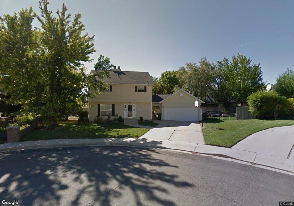
10153 N Maple Ct Pleasant Grove, UT 84062
Estimated Value: $609,000 - $652,000
6
Beds
4
Baths
2,673
Sq Ft
$233/Sq Ft
Est. Value
About This Home
This home is located at 10153 N Maple Ct, Pleasant Grove, UT 84062 and is currently estimated at $622,114, approximately $232 per square foot. 10153 N Maple Ct is a home located in Utah County with nearby schools including Cedar Ridge Elementary School, Mountain Ridge Junior High School, and Lone Peak High School.
Ownership History
Date
Name
Owned For
Owner Type
Purchase Details
Closed on
Jul 16, 2008
Sold by
Jones Ammon H and Jones Dawn L
Bought by
Wykstra James and Wykstra Maelei
Current Estimated Value
Home Financials for this Owner
Home Financials are based on the most recent Mortgage that was taken out on this home.
Original Mortgage
$211,650
Outstanding Balance
$138,262
Interest Rate
6.32%
Mortgage Type
Purchase Money Mortgage
Estimated Equity
$483,852
Purchase Details
Closed on
Feb 4, 2005
Sold by
Gehman Donald and Gehman Mary C
Bought by
Jones Ammon H and Jones Dawn L
Home Financials for this Owner
Home Financials are based on the most recent Mortgage that was taken out on this home.
Original Mortgage
$166,881
Interest Rate
5.79%
Mortgage Type
FHA
Create a Home Valuation Report for This Property
The Home Valuation Report is an in-depth analysis detailing your home's value as well as a comparison with similar homes in the area
Home Values in the Area
Average Home Value in this Area
Purchase History
| Date | Buyer | Sale Price | Title Company |
|---|---|---|---|
| Wykstra James | -- | Gt Title Services Spanish | |
| Jones Ammon H | -- | Equity Title |
Source: Public Records
Mortgage History
| Date | Status | Borrower | Loan Amount |
|---|---|---|---|
| Open | Wykstra James | $211,650 | |
| Previous Owner | Jones Ammon H | $166,881 |
Source: Public Records
Tax History Compared to Growth
Tax History
| Year | Tax Paid | Tax Assessment Tax Assessment Total Assessment is a certain percentage of the fair market value that is determined by local assessors to be the total taxable value of land and additions on the property. | Land | Improvement |
|---|---|---|---|---|
| 2025 | $2,351 | $296,560 | $238,900 | $300,300 |
| 2024 | $2,351 | $278,465 | $0 | $0 |
| 2023 | $2,205 | $280,555 | $0 | $0 |
| 2022 | $2,173 | $270,050 | $0 | $0 |
| 2021 | $1,886 | $349,200 | $150,000 | $199,200 |
| 2020 | $1,762 | $318,300 | $133,900 | $184,400 |
| 2019 | $1,583 | $297,000 | $115,800 | $181,200 |
| 2018 | $1,613 | $285,100 | $108,600 | $176,500 |
| 2017 | $1,617 | $152,790 | $0 | $0 |
| 2016 | $1,572 | $138,215 | $0 | $0 |
| 2015 | $1,487 | $123,695 | $0 | $0 |
| 2014 | $1,361 | $112,420 | $0 | $0 |
Source: Public Records
Map
Nearby Homes
- 4198 W Sage Rd N
- 10094 N Oak Rd W
- 4229 W Sandalwood Dr
- 10207 N Cottonwood Dr
- 10029 N Willow Ct
- 4292 W Joshua Ln
- 9900 N Meadow Dr
- 4616 W Carriage Ln
- 3870 Mountaintop Cir
- 10052 N Marigold Ln
- 10587 N Avalon St
- 10412 N Bayhill Dr
- 10528 Aberdeen Ln
- 3851 W Mountaintop Cir Unit 5
- 4696 W Camellia Ln
- 10358 N Tamarack Way
- 4083 W Hayes Cir
- 4812 Pocosin Ct
- 4811 Pocosin Ct
- 4816 Pocosin Ct
- 10172 N Oak Rd W
- 10145 N Maple Ct
- 10172 N Oak Ct
- 10160 N Maple Ct
- 10144 N Oak Rd W
- 10162 N Oak Ct
- 10134 N Oak Rd W
- 10182 Oak Ct
- 10158 N Maple Ct
- 10137 N Maple Ct
- 10146 N Maple Ct
- 4262 Sumac Ct
- 4262 10100 N
- 10185 Oak Ct
- 10196 Oak Ct
- 10127 N Maple Ct
- 10138 N Maple Ct
- 4252 Sumac Ct
- 10131 N Oak Rd W
- 10147 N Oak Rd W