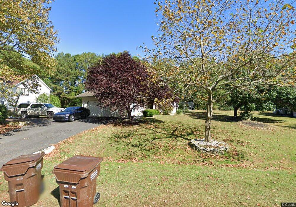
10155 Queens Cir Ocean City, MD 21842
West Ocean City NeighborhoodEstimated Value: $602,623 - $801,000
--
Bed
2
Baths
3,139
Sq Ft
$219/Sq Ft
Est. Value
About This Home
This home is located at 10155 Queens Cir, Ocean City, MD 21842 and is currently estimated at $687,906, approximately $219 per square foot. 10155 Queens Cir is a home located in Worcester County with nearby schools including Ocean City Elementary School, Stephen Decatur Middle School, and Berlin Intermediate School.
Ownership History
Date
Name
Owned For
Owner Type
Purchase Details
Closed on
Dec 10, 2009
Sold by
Omar Riyad
Bought by
Omar Riyad and Omar Samaher
Current Estimated Value
Purchase Details
Closed on
Jun 14, 2001
Sold by
Danner Melvin D and Danner Dorothy P
Bought by
Omar Riyad
Purchase Details
Closed on
May 10, 1991
Sold by
Lewis Lloyd B and Lewis Gail T
Bought by
Danner Melvin D and Danner Dorothy P
Home Financials for this Owner
Home Financials are based on the most recent Mortgage that was taken out on this home.
Original Mortgage
$25,000
Interest Rate
9.47%
Create a Home Valuation Report for This Property
The Home Valuation Report is an in-depth analysis detailing your home's value as well as a comparison with similar homes in the area
Home Values in the Area
Average Home Value in this Area
Purchase History
| Date | Buyer | Sale Price | Title Company |
|---|---|---|---|
| Omar Riyad | -- | -- | |
| Omar Riyad | $210,000 | -- | |
| Danner Melvin D | $35,000 | -- |
Source: Public Records
Mortgage History
| Date | Status | Borrower | Loan Amount |
|---|---|---|---|
| Previous Owner | Danner Melvin D | $25,000 |
Source: Public Records
Tax History Compared to Growth
Tax History
| Year | Tax Paid | Tax Assessment Tax Assessment Total Assessment is a certain percentage of the fair market value that is determined by local assessors to be the total taxable value of land and additions on the property. | Land | Improvement |
|---|---|---|---|---|
| 2025 | $3,856 | $502,200 | $119,200 | $383,000 |
| 2024 | $3,856 | $465,633 | $0 | $0 |
| 2023 | $3,735 | $429,067 | $0 | $0 |
| 2022 | $7,166 | $392,500 | $119,200 | $273,300 |
| 2021 | $3,488 | $376,000 | $0 | $0 |
| 2020 | $3,261 | $359,500 | $0 | $0 |
| 2019 | $3,275 | $343,000 | $119,200 | $223,800 |
| 2018 | $3,087 | $334,467 | $0 | $0 |
| 2017 | $2,970 | $325,933 | $0 | $0 |
| 2016 | -- | $317,400 | $0 | $0 |
| 2015 | -- | $317,400 | $0 | $0 |
| 2014 | $2,249 | $317,400 | $0 | $0 |
Source: Public Records
Map
Nearby Homes
- 10103 Queens Cir
- 10133 Queens Cir
- 10127 Queens Cir
- 10288 Broken Sound Blvd
- 10305 Turtle Ct
- 10204 Golf Course Rd
- 12927 Center Dr
- 12716 Whisper Trace Dr
- 0 Keyser Point Rd Unit MDWO118100
- 12910 Lake Ave
- 10117 Keyser Point Rd
- 12602 Balte Rd
- 12624 Balte Rd
- 13005 Bowline Ln Unit 1
- 10050 Golf Course Rd Unit 6
- 13005 UNIT 5 Bowline Ln Unit 5
- 12525 Fleetway Dr
- 10312 Bristol Rd
- 13008 Bowline Ln Unit 2
- 10013 Bonita Dr
- 10153 Queens Cir
- 10157 Queens Cir
- 10150 Queens Cir
- 10154 Queens Cir
- 10151 Queens Cir
- 10159 Queens Cir
- 10158 Queens Cir
- 10149 Queens Cir
- 10161 Queens Cir
- 10147 Queens Cir
- 10162 Queens Cir
- 12804 Kings Ct
- 10146 Queens Cir
- 10163 Queens Cir
- 12609 Whisper Trace Dr
- 12806 Kings Ct
- 10145 Queens Cir
- 12607 Whisper Trace Dr
- 12613 Whisper Trace Dr
- 12605 Whisper Trace Dr