Estimated Value: $355,000 - $561,000
4
Beds
4
Baths
3,220
Sq Ft
$129/Sq Ft
Est. Value
About This Home
This home is located at 1016 2nd St, Kenai, AK 99611 and is currently estimated at $416,898, approximately $129 per square foot. 1016 2nd St is a home located in Kenai Peninsula Borough with nearby schools including Mt. View Elementary School, Kenai Middle School, and Kenai Central High School.
Ownership History
Date
Name
Owned For
Owner Type
Purchase Details
Closed on
Apr 2, 2012
Sold by
Mcgahan Cameron M and Mcgahan Jasmin D
Bought by
Mcgahan Investment Properties Llc
Current Estimated Value
Purchase Details
Closed on
Sep 26, 2011
Sold by
Mccghan Cameron M and Mcgahan Jasmin D
Bought by
Mcgahan Cameron M and Mcgahan Jasmin D
Home Financials for this Owner
Home Financials are based on the most recent Mortgage that was taken out on this home.
Original Mortgage
$165,000
Interest Rate
4.09%
Mortgage Type
New Conventional
Purchase Details
Closed on
Jul 17, 2006
Sold by
Ward Alan D and Ward Salvacion O
Bought by
Turnbull Jasmin D and Mcgahan Cameron M
Home Financials for this Owner
Home Financials are based on the most recent Mortgage that was taken out on this home.
Original Mortgage
$203,392
Interest Rate
6.66%
Mortgage Type
FHA
Create a Home Valuation Report for This Property
The Home Valuation Report is an in-depth analysis detailing your home's value as well as a comparison with similar homes in the area
Home Values in the Area
Average Home Value in this Area
Purchase History
| Date | Buyer | Sale Price | Title Company |
|---|---|---|---|
| Mcgahan Investment Properties Llc | -- | None Available | |
| Mcgahan Cameron M | -- | None Available | |
| Turnbull Jasmin D | -- | First American Title Ins Co |
Source: Public Records
Mortgage History
| Date | Status | Borrower | Loan Amount |
|---|---|---|---|
| Previous Owner | Mcgahan Cameron M | $165,000 | |
| Previous Owner | Turnbull Jasmin D | $203,392 |
Source: Public Records
Tax History
| Year | Tax Paid | Tax Assessment Tax Assessment Total Assessment is a certain percentage of the fair market value that is determined by local assessors to be the total taxable value of land and additions on the property. | Land | Improvement |
|---|---|---|---|---|
| 2025 | $2,517 | $292,100 | $21,300 | $270,800 |
| 2024 | $2,517 | $290,700 | $20,100 | $270,600 |
| 2023 | $2,466 | $284,800 | $18,200 | $266,600 |
| 2022 | $2,454 | $277,000 | $14,600 | $262,400 |
| 2021 | $2,078 | $238,500 | $14,600 | $223,900 |
| 2020 | $2,124 | $234,400 | $11,600 | $222,800 |
| 2019 | $974 | $215,100 | $11,600 | $203,500 |
| 2018 | $2,078 | $229,400 | $11,600 | $217,800 |
| 2017 | $2,055 | $231,900 | $11,600 | $220,300 |
| 2016 | $2,105 | $237,600 | $11,600 | $226,000 |
| 2015 | $1,384 | $182,100 | $11,600 | $170,500 |
| 2014 | $1,384 | $154,800 | $11,600 | $143,200 |
Source: Public Records
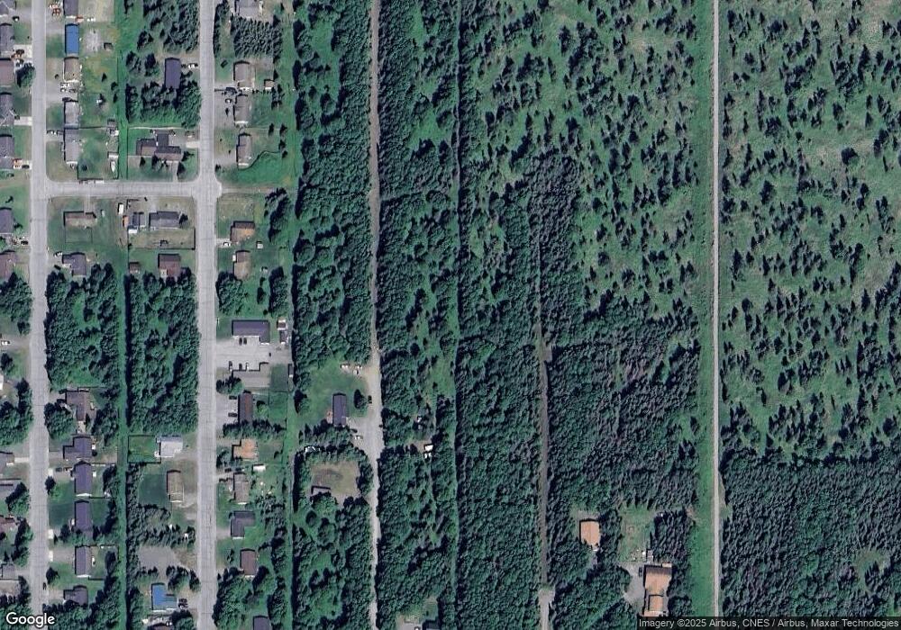
Map
Nearby Homes
- 1039 Spur Dr
- 1025 1st St
- 1041 Spur Dr
- 1125 Second St
- 2710 Wildwood Dr
- 2501 Wildwood Dr
- 1007 Skyler Ln
- 14105 Kenai Spur Hwy
- 1114 Skyler Ln
- 14320 Kenai Spur Hwy
- 1214 Lilac Ln
- 1310 Julie Anna Dr
- 1104 Inlet Woods Dr
- 1117 Inlet Woods Dr
- 1205 Equinox Way
- 1609 Pey Dr
- 1119 Alder Ave
- 714 Cypress Dr
- 700 Cypress Dr
- 306 Koa Cir
Your Personal Tour Guide
Ask me questions while you tour the home.