1016 Balsam Rd Wellsboro, PA 16901
Estimated Value: $284,000 - $433,926
4
Beds
4
Baths
2,156
Sq Ft
$168/Sq Ft
Est. Value
About This Home
This home is located at 1016 Balsam Rd, Wellsboro, PA 16901 and is currently estimated at $362,732, approximately $168 per square foot. 1016 Balsam Rd is a home with nearby schools including Charlotte Lappla Elementary School, Don Gill Elementary School, and Rock L. Butler Middle School.
Ownership History
Date
Name
Owned For
Owner Type
Purchase Details
Closed on
Oct 4, 2023
Sold by
Fleming Michael E
Bought by
Fleming Michael E and Fleming Rutha Ann
Current Estimated Value
Home Financials for this Owner
Home Financials are based on the most recent Mortgage that was taken out on this home.
Original Mortgage
$79,000
Outstanding Balance
$76,654
Interest Rate
7.18%
Mortgage Type
Credit Line Revolving
Estimated Equity
$286,078
Create a Home Valuation Report for This Property
The Home Valuation Report is an in-depth analysis detailing your home's value as well as a comparison with similar homes in the area
Home Values in the Area
Average Home Value in this Area
Purchase History
| Date | Buyer | Sale Price | Title Company |
|---|---|---|---|
| Fleming Michael E | -- | None Listed On Document | |
| Smith Guy D | -- | None Listed On Document |
Source: Public Records
Mortgage History
| Date | Status | Borrower | Loan Amount |
|---|---|---|---|
| Open | Smith Guy D | $79,000 |
Source: Public Records
Tax History Compared to Growth
Tax History
| Year | Tax Paid | Tax Assessment Tax Assessment Total Assessment is a certain percentage of the fair market value that is determined by local assessors to be the total taxable value of land and additions on the property. | Land | Improvement |
|---|---|---|---|---|
| 2025 | $5,093 | $341,120 | $35,750 | $305,370 |
| 2024 | $7,654 | $334,210 | $35,750 | $298,460 |
| 2023 | $4,019 | $148,780 | $15,750 | $133,030 |
| 2022 | $4,020 | $148,780 | $15,750 | $133,030 |
| 2021 | $3,966 | $148,780 | $15,750 | $133,030 |
| 2020 | $3,971 | $148,780 | $15,750 | $133,030 |
| 2019 | $3,917 | $148,780 | $15,750 | $133,030 |
| 2018 | $3,897 | $148,780 | $15,750 | $133,030 |
| 2017 | -- | $148,780 | $15,750 | $133,030 |
| 2016 | $3,840 | $148,780 | $15,750 | $133,030 |
| 2015 | -- | $23,280 | $20,750 | $2,530 |
| 2014 | -- | $23,280 | $20,750 | $2,530 |
Source: Public Records
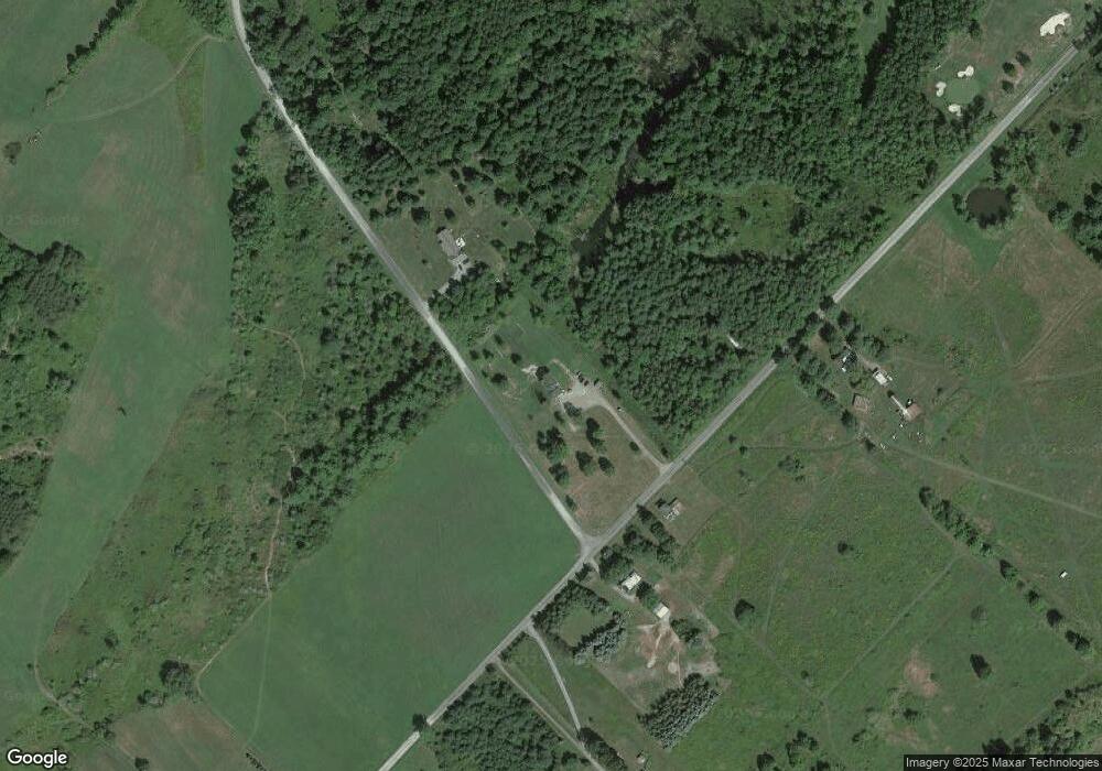
Map
Nearby Homes
- 651 Pheasant Hill Rd
- 1525 Dutch Hill Rd
- 00 Stony Fork Rd
- - Stony Fork Rd
- 67 West Ave
- 11 Conway St
- 0 Stowell Rd
- 75 Central Ave
- Stowell Road Lot Unit WP001
- 7 Hastings St
- 104 Nichols St
- 0 Nichols St Unit 31723064
- PARCEL 056D Us Highway 6
- 00 Us Highway 6
- 275 Tioga St
- 265 Tioga St
- 22 Woodland Ave
- 0 Broughton Hollow Rd
- 3 Buena Vista St
- 2 Buena Vista St
- 2 Benauer Rd
- 1021 Balsam Rd
- A Balsam and Benaur Roads
- 980 Balsam Rd
- 74 Benauer Rd
- - Balsam Rd
- 1047 Balsam Rd
- 967 Balsam Rd
- 132 Benauer Rd
- 1083 Balsam Rd
- A & B Balsam and Benaur Roads
- 1145 Balsam Rd
- 1174 Balsam Rd
- 851 Balsam Rd
- 147 Benauer Rd
- 1225 Balsam Rd
- 67 Sunset Hill Ln
- 1247 Balsam Rd
- Lot 1 Benauer Rd
- LOT 2 Benauer Rd