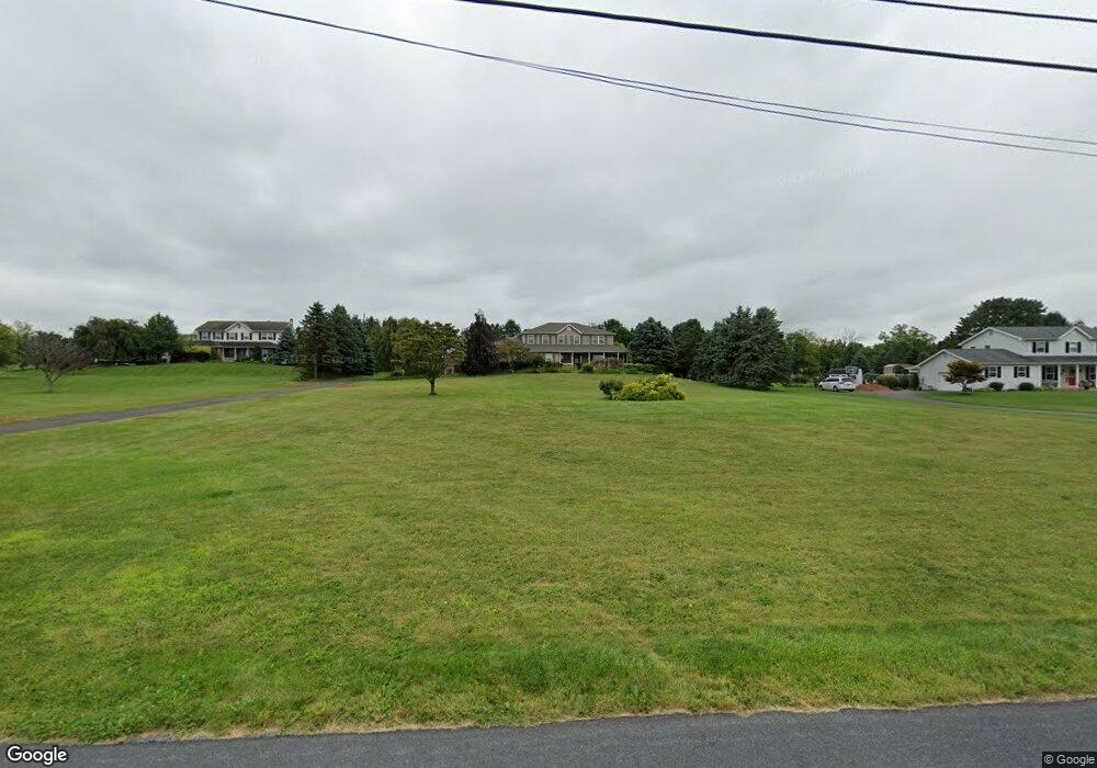
1016 Capp Rd Nazareth, PA 18064
Estimated Value: $514,000 - $689,756
4
Beds
3
Baths
2,391
Sq Ft
$267/Sq Ft
Est. Value
About This Home
This home is located at 1016 Capp Rd, Nazareth, PA 18064 and is currently estimated at $637,439, approximately $266 per square foot. 1016 Capp Rd is a home located in Northampton County with nearby schools including Plainfield Elementary School, Wind Gap Middle School, and Pen Argyl Area High School.
Ownership History
Date
Name
Owned For
Owner Type
Purchase Details
Closed on
Sep 5, 2003
Sold by
Phillips William
Bought by
Gilbert Quentin
Current Estimated Value
Home Financials for this Owner
Home Financials are based on the most recent Mortgage that was taken out on this home.
Original Mortgage
$265,000
Outstanding Balance
$115,087
Interest Rate
6.02%
Mortgage Type
New Conventional
Estimated Equity
$522,352
Purchase Details
Closed on
Mar 1, 1999
Bought by
Phillips William S
Create a Home Valuation Report for This Property
The Home Valuation Report is an in-depth analysis detailing your home's value as well as a comparison with similar homes in the area
Home Values in the Area
Average Home Value in this Area
Purchase History
| Date | Buyer | Sale Price | Title Company |
|---|---|---|---|
| Gilbert Quentin | $360,000 | -- | |
| Phillips William S | -- | -- |
Source: Public Records
Mortgage History
| Date | Status | Borrower | Loan Amount |
|---|---|---|---|
| Open | Gilbert Quentin | $265,000 |
Source: Public Records
Tax History
| Year | Tax Paid | Tax Assessment Tax Assessment Total Assessment is a certain percentage of the fair market value that is determined by local assessors to be the total taxable value of land and additions on the property. | Land | Improvement |
|---|---|---|---|---|
| 2026 | $1,304 | $120,700 | $38,100 | $82,600 |
| 2025 | $1,304 | $120,700 | $38,100 | $82,600 |
| 2024 | $9,096 | $120,700 | $38,100 | $82,600 |
| 2023 | $9,096 | $120,700 | $38,100 | $82,600 |
| 2022 | $8,915 | $120,700 | $38,100 | $82,600 |
| 2021 | $9,036 | $120,700 | $38,100 | $82,600 |
| 2020 | $9,036 | $120,700 | $38,100 | $82,600 |
| 2019 | $8,846 | $120,700 | $38,100 | $82,600 |
| 2018 | $8,647 | $120,700 | $38,100 | $82,600 |
| 2017 | $8,472 | $120,700 | $38,100 | $82,600 |
| 2016 | -- | $120,700 | $38,100 | $82,600 |
| 2015 | -- | $120,700 | $38,100 | $82,600 |
| 2014 | -- | $120,700 | $38,100 | $82,600 |
Source: Public Records
Map
Nearby Homes
- 968 Bangor Rd
- 617 School Rd
- 500 Belfast Rd
- 5966 Sullivan Trail
- 4905 Farrcroft Dr Unit 84C
- 4929 Farrcroft Dr Unit 83B
- 488 Sportsman Club Rd
- 0 Romaneve Dr
- 4869 Farrcroft Dr Unit 85B
- 4780 Farrcroft Dr Unit 113
- 4704 Reston Dr
- 205 Faith Ave
- 00 Main St
- 59 Main St
- 1350 Lorton Dr Unit 56
- 4522 Steeplechase Dr Unit 5
- 326 Main St
- 1211 Briarwood Ln
- 33 Starseed Dr
- 6423 Front St
- 1008 Capp Rd
- 5892 Spangler Rd
- 5882 Spangler Rd
- 5894 Kesslersville Rd
- 1030 Capp Rd
- 5880 Kesslersville Rd
- 5901 Kesslersville Rd
- 5899 Kesslersville Rd
- 1035 Capp Rd
- 5893 Kesslersville Rd
- 1042 Capp Rd
- 5872 Kesslersville Rd
- 5870 Spangler Rd
- 5921 Kesslersville Rd
- 5921 Kesslersville Rd
- 5885 Spangler Rd
- 5925 Kesslersville Rd
- 5873 Kesslersville Rd
- 5873 Spangler Rd
- 5879 Kesslersville Rd
Your Personal Tour Guide
Ask me questions while you tour the home.