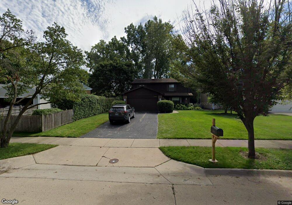
1016 Devonshire Ct Highland Park, IL 60035
West Highland Park NeighborhoodEstimated Value: $529,101 - $758,000
--
Bed
2
Baths
2,142
Sq Ft
$315/Sq Ft
Est. Value
About This Home
This home is located at 1016 Devonshire Ct, Highland Park, IL 60035 and is currently estimated at $674,025, approximately $314 per square foot. 1016 Devonshire Ct is a home located in Lake County with nearby schools including Kipling Elementary School, Alan B Shepard Middle School, and Deerfield High School.
Ownership History
Date
Name
Owned For
Owner Type
Purchase Details
Closed on
Aug 7, 2000
Sold by
Lurie Arthur H and Lurie Sandra M
Bought by
Lurie Arthur H and Lurie Sandra M
Current Estimated Value
Purchase Details
Closed on
May 21, 1994
Sold by
Lurie Arthur H
Bought by
Lurie Arthur H and Lurie Sandra M
Create a Home Valuation Report for This Property
The Home Valuation Report is an in-depth analysis detailing your home's value as well as a comparison with similar homes in the area
Home Values in the Area
Average Home Value in this Area
Purchase History
| Date | Buyer | Sale Price | Title Company |
|---|---|---|---|
| Lurie Arthur H | -- | -- | |
| Lurie Arthur H | -- | Chicago Title Insurance Co |
Source: Public Records
Tax History Compared to Growth
Tax History
| Year | Tax Paid | Tax Assessment Tax Assessment Total Assessment is a certain percentage of the fair market value that is determined by local assessors to be the total taxable value of land and additions on the property. | Land | Improvement |
|---|---|---|---|---|
| 2024 | $10,403 | $148,151 | $39,225 | $108,926 |
| 2023 | $11,487 | $133,542 | $35,357 | $98,185 |
| 2022 | $11,487 | $139,361 | $38,842 | $100,519 |
| 2021 | $10,833 | $134,714 | $37,547 | $97,167 |
| 2020 | $10,432 | $134,714 | $37,547 | $97,167 |
| 2019 | $10,057 | $134,083 | $37,371 | $96,712 |
| 2018 | $10,300 | $142,832 | $41,149 | $101,683 |
| 2017 | $10,185 | $142,009 | $40,912 | $101,097 |
| 2016 | $9,768 | $135,195 | $38,949 | $96,246 |
| 2015 | $9,397 | $125,611 | $36,188 | $89,423 |
| 2014 | $7,970 | $104,289 | $30,976 | $73,313 |
| 2012 | $9,295 | $104,898 | $31,157 | $73,741 |
Source: Public Records
Map
Nearby Homes
- 810 Virginia Rd
- 1039 Deerfield Place Unit 1039
- 850 Evergreen Way
- 1075 Heather Rd
- 666 Barberry Rd
- 1490 Avignon Ct
- 1491 Deerfield Place
- 805 Brand Ln
- 1816 Rosemary Rd
- 1552 Mccraren Rd
- 717 Brierhill Rd
- 1381 Sunnyside Ave
- 513 Sumac Rd
- 1672 Huntington Ln
- 1615 Robin Hood Place
- 1263 Carlisle Place
- 1020 Deerfield Rd Unit 1020
- 1341 Carlisle Place
- 1572 Mcdaniels Ave
- 1127 Kenton Rd
- 1018 Devonshire Ct
- 1008 Ridge Rd
- 1024 Devonshire Ct
- 1002 Ridge Rd
- 1741 Heather Ln
- 1028 Devonshire Ct
- 1737 Heather Ln
- 1018 Ridge Rd
- 1745 Heather Ln
- 996 Ridge Rd
- 1733 Heather Ln
- 1022 Ridge Rd
- 1036 Devonshire Ct
- 1029 Devonshire Ct
- 1755 Heather Ln
- 986 Ridge Rd
- 1024 Ridge Rd
- 1042 Devonshire Ct
- 1729 Heather Ln
- 1028 Ridge Rd