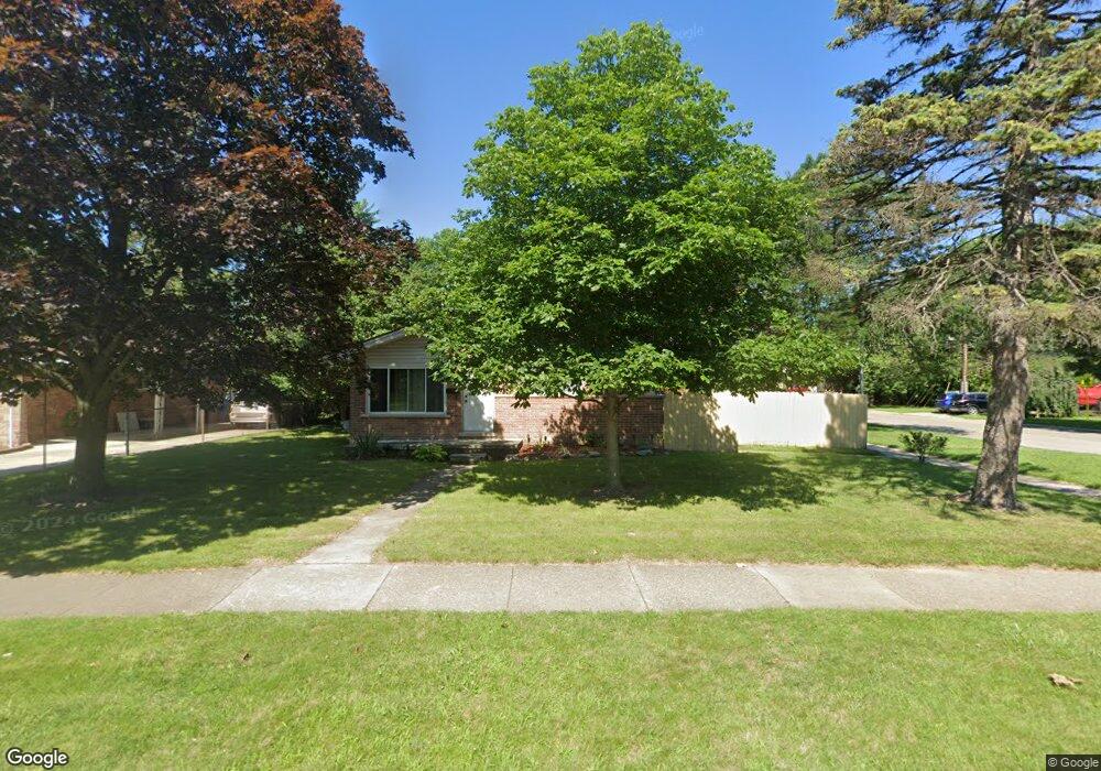
1016 Easley Dr Westland, MI 48186
Estimated Value: $156,364 - $233,000
--
Bed
1
Bath
1,007
Sq Ft
$201/Sq Ft
Est. Value
About This Home
This home is located at 1016 Easley Dr, Westland, MI 48186 and is currently estimated at $202,341, approximately $200 per square foot. 1016 Easley Dr is a home located in Wayne County with nearby schools including Alexander Hamilton Elementary School, Adams Middle School, and Benjamin Franklin Middle School.
Ownership History
Date
Name
Owned For
Owner Type
Purchase Details
Closed on
Jul 25, 2003
Sold by
Jesse Robert and Jesse Douglas A
Bought by
Jesse Douglas A
Current Estimated Value
Home Financials for this Owner
Home Financials are based on the most recent Mortgage that was taken out on this home.
Original Mortgage
$112,100
Outstanding Balance
$47,839
Interest Rate
5.31%
Mortgage Type
Purchase Money Mortgage
Estimated Equity
$154,502
Purchase Details
Closed on
Feb 9, 2001
Sold by
Jesse Norma
Bought by
Jesse Douglas A
Create a Home Valuation Report for This Property
The Home Valuation Report is an in-depth analysis detailing your home's value as well as a comparison with similar homes in the area
Home Values in the Area
Average Home Value in this Area
Purchase History
| Date | Buyer | Sale Price | Title Company |
|---|---|---|---|
| Jesse Douglas A | -- | Commonwealth Land Title | |
| Jesse Douglas A | -- | -- |
Source: Public Records
Mortgage History
| Date | Status | Borrower | Loan Amount |
|---|---|---|---|
| Open | Jesse Douglas A | $112,100 |
Source: Public Records
Tax History Compared to Growth
Tax History
| Year | Tax Paid | Tax Assessment Tax Assessment Total Assessment is a certain percentage of the fair market value that is determined by local assessors to be the total taxable value of land and additions on the property. | Land | Improvement |
|---|---|---|---|---|
| 2025 | $2,033 | $99,400 | $0 | $0 |
| 2024 | $2,033 | $95,100 | $0 | $0 |
| 2023 | $1,942 | $84,600 | $0 | $0 |
| 2022 | $2,281 | $74,300 | $0 | $0 |
| 2021 | $2,224 | $71,400 | $0 | $0 |
| 2020 | $2,200 | $63,800 | $0 | $0 |
| 2019 | $2,120 | $61,600 | $0 | $0 |
| 2018 | $1,598 | $56,200 | $0 | $0 |
| 2017 | $792 | $53,000 | $0 | $0 |
| 2016 | $2,058 | $52,800 | $0 | $0 |
| 2015 | $3,954 | $47,510 | $0 | $0 |
| 2013 | $3,831 | $39,080 | $0 | $0 |
| 2012 | $1,814 | $38,540 | $0 | $0 |
Source: Public Records
Map
Nearby Homes
- 1163 Denice St
- 754 Alvin St
- 32732 Glen St
- 0000 Barrington Ave
- 711 S Hawthorne St
- 34114 Avondale St
- 32508 Avondale St
- 32411 Grandview Ave
- 183 Daniel Ave Unit 6
- 00000 Cherry Hill Rd
- 535 S Hubbard St
- 451 Darwin St
- 33532 Leona St
- 366 S Wildwood St
- 34553 Hazelwood St
- 1631 Ackley Ave
- 32154 Melton St
- 32111 Birchwood Ave
- 2075 Alanson St
- 232 S Wildwood St
- 1028 Easley Dr
- 00 Avondale Ave
- 1088 Alvin St
- 0 Avondale Ave
- 980 Easley Dr
- 1104 Alvin St
- 1015 Easley Dr
- 1029 Easley Dr
- 964 Easley Dr Unit Bldg-Unit
- 964 Easley Dr
- 950 Easley Dr
- 1116 Alvin St
- 979 Easley Dr
- 1045 Easley Dr
- 1117 Alvin St
- 886 Alvin St
- 33217 Avondale St
- 33422 Avondale St Unit Bldg-Unit
- 33422 Avondale St
- 33434 Avondale St