1016 Laureldale Dr Lititz, PA 17543
Kissel Hill NeighborhoodEstimated Value: $499,000 - $681,000
3
Beds
3
Baths
2,713
Sq Ft
$220/Sq Ft
Est. Value
About This Home
This home is located at 1016 Laureldale Dr, Lititz, PA 17543 and is currently estimated at $597,605, approximately $220 per square foot. 1016 Laureldale Dr is a home located in Lancaster County with nearby schools including Reidenbaugh Elementary School, Landis Run Intermediate School, and Manheim Township Middle School.
Ownership History
Date
Name
Owned For
Owner Type
Purchase Details
Closed on
May 14, 2021
Sold by
Westphal Thomas R and Westphal Michele Bucher
Bought by
Harris Craig R
Current Estimated Value
Home Financials for this Owner
Home Financials are based on the most recent Mortgage that was taken out on this home.
Original Mortgage
$344,000
Outstanding Balance
$311,750
Interest Rate
3.1%
Mortgage Type
New Conventional
Estimated Equity
$285,855
Purchase Details
Closed on
Aug 29, 2017
Sold by
Cadigan William J and Cadigan Kathleen
Bought by
Westphal Thomas R and Westphal Michele Bucher
Purchase Details
Closed on
May 24, 2001
Sold by
Cooper Custom Homes Inc
Bought by
Cadigan William J and Cadigan Kathleen
Create a Home Valuation Report for This Property
The Home Valuation Report is an in-depth analysis detailing your home's value as well as a comparison with similar homes in the area
Home Values in the Area
Average Home Value in this Area
Purchase History
| Date | Buyer | Sale Price | Title Company |
|---|---|---|---|
| Harris Craig R | $475,000 | Prime Transfer Inc | |
| Westphal Thomas R | $430,000 | None Available | |
| Cadigan William J | $311,280 | -- |
Source: Public Records
Mortgage History
| Date | Status | Borrower | Loan Amount |
|---|---|---|---|
| Open | Harris Craig R | $344,000 |
Source: Public Records
Tax History
| Year | Tax Paid | Tax Assessment Tax Assessment Total Assessment is a certain percentage of the fair market value that is determined by local assessors to be the total taxable value of land and additions on the property. | Land | Improvement |
|---|---|---|---|---|
| 2025 | $7,233 | $334,300 | $79,100 | $255,200 |
| 2024 | $7,233 | $334,300 | $79,100 | $255,200 |
| 2023 | $7,045 | $334,300 | $79,100 | $255,200 |
| 2022 | $6,926 | $334,300 | $79,100 | $255,200 |
| 2021 | $6,771 | $334,300 | $79,100 | $255,200 |
| 2020 | $6,771 | $334,300 | $79,100 | $255,200 |
| 2019 | $6,706 | $334,300 | $79,100 | $255,200 |
| 2018 | $5,053 | $334,300 | $79,100 | $255,200 |
| 2016 | $7,422 | $291,700 | $82,100 | $209,600 |
| 2015 | $1,865 | $291,700 | $82,100 | $209,600 |
| 2014 | $5,329 | $291,700 | $82,100 | $209,600 |
Source: Public Records
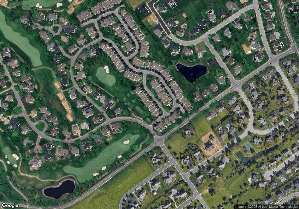
Map
Nearby Homes
- 701 Woodfield Dr
- 660 Woodfield Dr
- 902 Bent Creek Dr
- LOT 34 Honey Farm Rd
- LOT 35 Honey Farm Rd
- LOT 12 Bent Creek Dr
- 50 Meadowbreeze
- #48 Meadowbreeze Ln
- 914 Meadowbreeze Ln
- 1021 Suffolk Dr
- 131 Milton Cir
- 78 Oakhill Dr
- 674 Integrity Dr
- 649 Dorset St
- 634 Northfield Rd
- 602 Willow Green
- 30 Farmview Ln
- 617 Dorset St
- 66 Farmview Ln
- 504 Cheltenham Ct
- 1012 Laureldale Dr
- 1012 Laureldale Ct
- 1016 Laureldale Dr
- 1008 Laureldale Dr
- 1020 Laureldale Dr
- 1004 Laureldale Dr
- 1024 Laureldale Dr
- 1000 Laureldale Dr
- 717 Woodfield Dr
- 713 Woodfield Dr
- 721 Woodfield Dr
- 709 Woodfield Dr
- 705 Woodfield Dr
- 725 Woodfield Dr
- 749 Woodfield Dr
- 753 Woodfield Dr
- 757 Woodfield Dr
- 664 Woodfield Dr
- 668 Woodfield Dr
- 716 Woodfield Dr
Your Personal Tour Guide
Ask me questions while you tour the home.