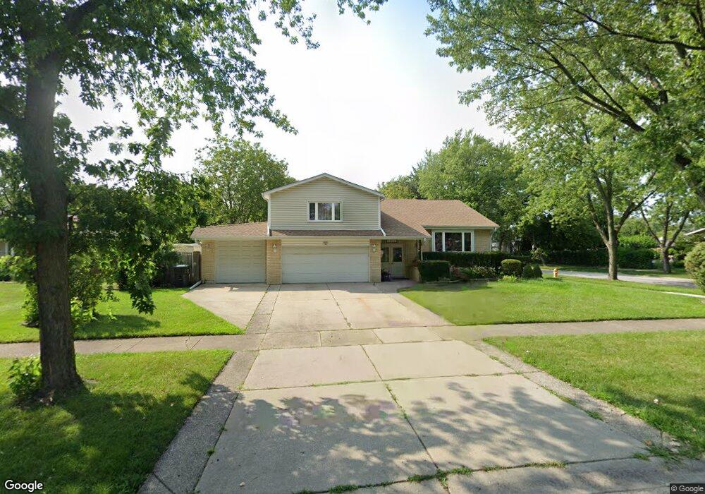
1016 N Burning Bush Ln Mount Prospect, IL 60056
Forest River NeighborhoodEstimated Value: $517,000 - $602,000
4
Beds
4
Baths
1,769
Sq Ft
$312/Sq Ft
Est. Value
About This Home
This home is located at 1016 N Burning Bush Ln, Mount Prospect, IL 60056 and is currently estimated at $552,262, approximately $312 per square foot. 1016 N Burning Bush Ln is a home located in Cook County with nearby schools including Indian Grove Elementary School, River Trails Middle School, and John Hersey High School.
Ownership History
Date
Name
Owned For
Owner Type
Purchase Details
Closed on
Aug 22, 2017
Sold by
Marchuk Christina and Stolyar Aleksandr
Bought by
Livin Marchuk Alvida and Alvida Marchuk Revocable Living Trust
Current Estimated Value
Purchase Details
Closed on
Feb 5, 2008
Sold by
Marchuk Alvida
Bought by
Marchuk Alvida and Marchuk Christina
Purchase Details
Closed on
May 1, 1998
Sold by
Blakely Delbert H and Blakely Jeanette M
Bought by
Marchuk Igor and Marchuk Alvida
Home Financials for this Owner
Home Financials are based on the most recent Mortgage that was taken out on this home.
Original Mortgage
$196,000
Outstanding Balance
$38,798
Interest Rate
7.25%
Estimated Equity
$513,464
Create a Home Valuation Report for This Property
The Home Valuation Report is an in-depth analysis detailing your home's value as well as a comparison with similar homes in the area
Home Values in the Area
Average Home Value in this Area
Purchase History
| Date | Buyer | Sale Price | Title Company |
|---|---|---|---|
| Livin Marchuk Alvida | -- | Attorney | |
| Marchuk Alvida | -- | First American Title Ins Co | |
| Marchuk Igor | $234,000 | -- |
Source: Public Records
Mortgage History
| Date | Status | Borrower | Loan Amount |
|---|---|---|---|
| Open | Marchuk Igor | $196,000 |
Source: Public Records
Tax History Compared to Growth
Tax History
| Year | Tax Paid | Tax Assessment Tax Assessment Total Assessment is a certain percentage of the fair market value that is determined by local assessors to be the total taxable value of land and additions on the property. | Land | Improvement |
|---|---|---|---|---|
| 2024 | $9,612 | $33,719 | $9,413 | $24,306 |
| 2023 | $10,006 | $35,331 | $9,413 | $25,918 |
| 2022 | $10,006 | $38,159 | $9,413 | $28,746 |
| 2021 | $8,793 | $29,830 | $6,013 | $23,817 |
| 2020 | $8,570 | $29,830 | $6,013 | $23,817 |
| 2019 | $8,602 | $33,256 | $6,013 | $27,243 |
| 2018 | $8,997 | $31,410 | $5,229 | $26,181 |
| 2017 | $8,936 | $31,410 | $5,229 | $26,181 |
| 2016 | $9,222 | $33,338 | $5,229 | $28,109 |
| 2015 | $7,232 | $24,859 | $4,445 | $20,414 |
| 2014 | $7,739 | $26,752 | $4,445 | $22,307 |
| 2013 | $7,534 | $26,752 | $4,445 | $22,307 |
Source: Public Records
Map
Nearby Homes
- 912 N Sumac Ln
- 1822 E Cree Ln
- 911 N Quince Ln
- 1314 N Lama Ln
- 1810 E Boulder Dr
- 1821 E Boulder Dr
- 804 N River Rd Unit 1D
- 814 N River Rd Unit 2C
- 1822 E Tano Ln
- 1819 E Wood Ln
- 1813 E Wood Ln
- 1622 E Greenwood Dr
- 112 Enclave Dr
- 221 N Graylynn Dr
- 1501 E Barberry Ln
- 1817 E Maya Ln
- 1008 N Newberry Ln
- 1811 E Maya Ln
- 1400 E Ironwood Dr
- 840 Kylemore Dr
- 1014 N Burning Bush Ln
- 1827 Azalea Ln
- 1100 N Burning Bush Ln
- 1012 N Burning Bush Ln
- 1825 Azalea Ln
- 1003 N Burning Bush Ln
- 1102 N Burning Bush Ln
- 1832 Azalea Ln
- 1826 E Basswood Ln
- 1010 N Burning Bush Ln
- 1823 Azalea Ln
- 1900 E Kiowa Ln
- 1900 E Kiowa Ln
- 1830 Azalea Ln
- 1005 N Burning Bush Ln
- 915 N Burning Bush Ln
- 1104 N Burning Bush Ln
- 1828 Azalea Ln
- 1824 E Basswood Ln
- 1902 E Kiowa Ln