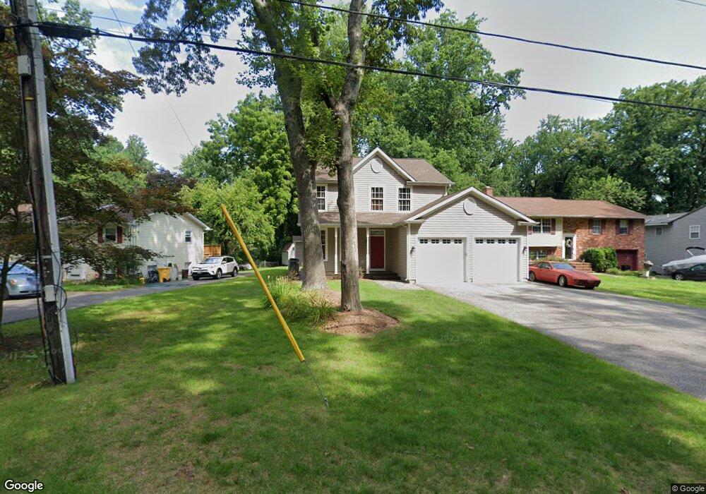
1016 Omar Dr Crownsville, MD 21032
Arden on the Severn NeighborhoodEstimated Value: $612,165 - $724,000
3
Beds
4
Baths
2,052
Sq Ft
$323/Sq Ft
Est. Value
About This Home
This home is located at 1016 Omar Dr, Crownsville, MD 21032 and is currently estimated at $662,541, approximately $322 per square foot. 1016 Omar Dr is a home located in Anne Arundel County with nearby schools including Millersville Elementary School, Old Mill High School, and Rockbridge Academy.
Ownership History
Date
Name
Owned For
Owner Type
Purchase Details
Closed on
Jan 31, 2011
Sold by
Nixon James J
Bought by
Izzi Patrick L and Izzi Amy L
Current Estimated Value
Home Financials for this Owner
Home Financials are based on the most recent Mortgage that was taken out on this home.
Original Mortgage
$421,170
Outstanding Balance
$287,786
Interest Rate
4.75%
Mortgage Type
FHA
Estimated Equity
$374,755
Purchase Details
Closed on
Jan 13, 2011
Sold by
Nixon James J
Bought by
Izzi Patrick L and Izzi Amy L
Home Financials for this Owner
Home Financials are based on the most recent Mortgage that was taken out on this home.
Original Mortgage
$421,170
Outstanding Balance
$287,786
Interest Rate
4.75%
Mortgage Type
FHA
Estimated Equity
$374,755
Purchase Details
Closed on
May 12, 1999
Sold by
Krane Bryon H
Bought by
Nixon James J and Nixon Darlene M
Create a Home Valuation Report for This Property
The Home Valuation Report is an in-depth analysis detailing your home's value as well as a comparison with similar homes in the area
Home Values in the Area
Average Home Value in this Area
Purchase History
| Date | Buyer | Sale Price | Title Company |
|---|---|---|---|
| Izzi Patrick L | $435,000 | -- | |
| Izzi Patrick L | $435,000 | -- | |
| Nixon James J | $30,000 | -- |
Source: Public Records
Mortgage History
| Date | Status | Borrower | Loan Amount |
|---|---|---|---|
| Open | Izzi Patrick L | $421,170 | |
| Closed | Izzi Patrick L | $421,170 |
Source: Public Records
Tax History Compared to Growth
Tax History
| Year | Tax Paid | Tax Assessment Tax Assessment Total Assessment is a certain percentage of the fair market value that is determined by local assessors to be the total taxable value of land and additions on the property. | Land | Improvement |
|---|---|---|---|---|
| 2025 | $5,237 | $477,100 | $220,900 | $256,200 |
| 2024 | $5,237 | $459,067 | $0 | $0 |
| 2023 | $5,094 | $441,033 | $0 | $0 |
| 2022 | $4,760 | $423,000 | $220,900 | $202,100 |
| 2021 | $9,343 | $410,667 | $0 | $0 |
| 2020 | $4,545 | $398,333 | $0 | $0 |
| 2019 | $4,464 | $386,000 | $190,900 | $195,100 |
| 2018 | $3,914 | $386,000 | $190,900 | $195,100 |
| 2017 | $4,217 | $386,000 | $0 | $0 |
| 2016 | -- | $388,500 | $0 | $0 |
| 2015 | -- | $372,467 | $0 | $0 |
| 2014 | -- | $356,433 | $0 | $0 |
Source: Public Records
Map
Nearby Homes
- 1001 Omar Dr
- 1003 Omar Dr
- 1013 Plum Creek Dr
- 1037 Dockser Dr
- 366 Walnut Trail
- 717 Whitneys Landing Dr
- 0 Beech Trail
- 0 Elm Trail
- 596 West Dr
- 600 Hidden Pond Ln
- 330 S Riverside Dr
- 514 Harlequin Ln
- 0 Redwood Trail Unit MDAA2111808
- 0 Redwood Trail Unit MDAA2111804
- 508 Ashberry Ln
- 0 Whitewood Trail
- 355 Kyle Rd
- 809 Pin Oak Rd
- 478 Mountain Rd
- 1304 North Rd
- 1014 Omar Dr
- 1018 Omar Dr
- 1012 Omar Dr
- 1010 Omar Dr
- 1008 Omar Dr
- 1009 Shore End Dr
- 992 Waterview Dr
- 994 Waterview Dr
- 1038 Shore View Cir
- 988 Waterview Dr
- 990 Waterview Dr
- 1011 Shore End Dr
- 996 Waterview Dr
- 1013 Omar Dr
- 998 Waterview Dr
- 1028 Omar Dr
- 1019 Omar Dr
- 984 Waterview Dr
- 1039 Shore View Cir
- 1036 Shore View Cir