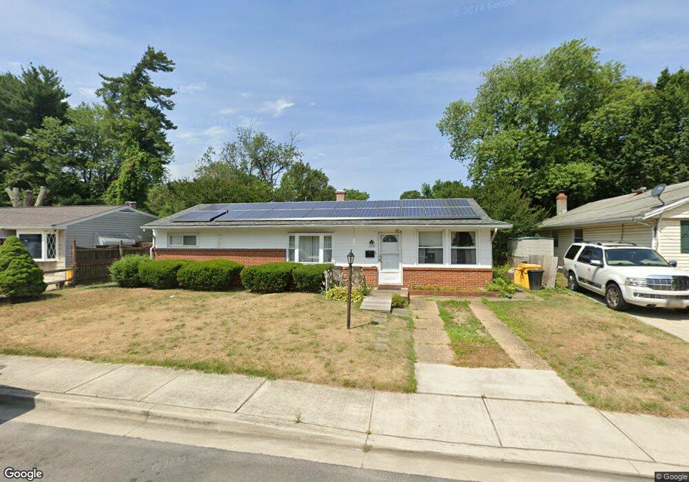
1016 Phillip Dr Glen Burnie, MD 21061
Estimated Value: $272,075 - $384,000
--
Bed
1
Bath
1,332
Sq Ft
$256/Sq Ft
Est. Value
About This Home
This home is located at 1016 Phillip Dr, Glen Burnie, MD 21061 and is currently estimated at $340,519, approximately $255 per square foot. 1016 Phillip Dr is a home located in Anne Arundel County with nearby schools including Oakwood Elementary School, Corkran Middle School, and Glen Burnie High School.
Ownership History
Date
Name
Owned For
Owner Type
Purchase Details
Closed on
Jul 30, 1998
Sold by
Copple Samuel F
Bought by
Copple Sanuel F and Copple Carol
Current Estimated Value
Purchase Details
Closed on
Sep 13, 1994
Sold by
Pinnix Dorothy M
Bought by
Copple Samuel F
Home Financials for this Owner
Home Financials are based on the most recent Mortgage that was taken out on this home.
Original Mortgage
$107,100
Interest Rate
8.54%
Create a Home Valuation Report for This Property
The Home Valuation Report is an in-depth analysis detailing your home's value as well as a comparison with similar homes in the area
Home Values in the Area
Average Home Value in this Area
Purchase History
| Date | Buyer | Sale Price | Title Company |
|---|---|---|---|
| Copple Sanuel F | -- | -- | |
| Copple Samuel F | $107,100 | -- |
Source: Public Records
Mortgage History
| Date | Status | Borrower | Loan Amount |
|---|---|---|---|
| Previous Owner | Copple Samuel F | $107,100 |
Source: Public Records
Tax History Compared to Growth
Tax History
| Year | Tax Paid | Tax Assessment Tax Assessment Total Assessment is a certain percentage of the fair market value that is determined by local assessors to be the total taxable value of land and additions on the property. | Land | Improvement |
|---|---|---|---|---|
| 2025 | $2,297 | $255,500 | $143,900 | $111,600 |
| 2024 | $2,297 | $241,267 | $0 | $0 |
| 2023 | $2,218 | $227,033 | $0 | $0 |
| 2022 | $2,059 | $212,800 | $128,900 | $83,900 |
| 2021 | $4,064 | $212,800 | $128,900 | $83,900 |
| 2020 | $1,964 | $212,800 | $128,900 | $83,900 |
| 2019 | $1,941 | $214,400 | $123,900 | $90,500 |
| 2018 | $2,062 | $203,367 | $0 | $0 |
| 2017 | $1,823 | $192,333 | $0 | $0 |
| 2016 | -- | $181,300 | $0 | $0 |
| 2015 | -- | $174,500 | $0 | $0 |
| 2014 | -- | $167,700 | $0 | $0 |
Source: Public Records
Map
Nearby Homes
- 203 Buckingham Dr
- 409 Aquahart Rd
- 308 Aquahart Rd
- 304 9th Ave SE
- 1423 Braden Loop
- 1324 Ray Ln
- 118 Heather Stone Way Unit 80
- 1475 Braden Loop
- 125 Range Rd
- 112 Kindred Way
- 306 Woodleaf Ct
- 267 Truck Farm Dr
- 7818 Oakwood Rd
- 227 Truck Farm Dr
- 0 Irene Dr
- 1002 Lee Rd
- 405 Morningside Dr
- 4 Ridgely Rd
- 251 Oakview Village Dr
- 615 Carolyn Rd