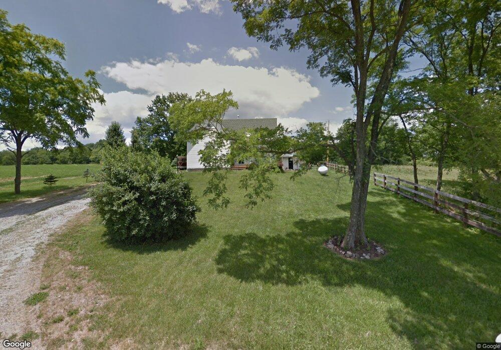
1016 Pratt Rd Blanchester, OH 45107
Estimated Value: $283,685 - $361,000
2
Beds
1
Bath
1,852
Sq Ft
$172/Sq Ft
Est. Value
About This Home
This home is located at 1016 Pratt Rd, Blanchester, OH 45107 and is currently estimated at $317,671, approximately $171 per square foot. 1016 Pratt Rd is a home located in Clinton County with nearby schools including Clinton-Massie Elementary School, Clinton-Massie Middle School, and Clinton-Massie High School.
Ownership History
Date
Name
Owned For
Owner Type
Purchase Details
Closed on
Feb 9, 2023
Sold by
Bryant Jacob A
Bought by
Bryant Jacob A and Bryant Theresa Maria
Current Estimated Value
Purchase Details
Closed on
Dec 2, 2009
Sold by
Calhoun Robyn D
Bought by
Bryant Jacob A
Home Financials for this Owner
Home Financials are based on the most recent Mortgage that was taken out on this home.
Original Mortgage
$100,310
Interest Rate
5.11%
Purchase Details
Closed on
Jan 30, 2001
Sold by
Kunselman Gerald F
Bought by
Calhoun Robyn D
Home Financials for this Owner
Home Financials are based on the most recent Mortgage that was taken out on this home.
Original Mortgage
$57,500
Interest Rate
7.43%
Mortgage Type
New Conventional
Purchase Details
Closed on
Feb 13, 1998
Bought by
Kunselman Gerald F
Create a Home Valuation Report for This Property
The Home Valuation Report is an in-depth analysis detailing your home's value as well as a comparison with similar homes in the area
Purchase History
| Date | Buyer | Sale Price | Title Company |
|---|---|---|---|
| Bryant Jacob A | -- | -- | |
| Bryant Jacob A | -- | -- | |
| Bryant Jacob A | $98,500 | -- | |
| Calhoun Robyn D | $55,000 | -- | |
| Kunselman Gerald F | -- | -- |
Source: Public Records
Mortgage History
| Date | Status | Borrower | Loan Amount |
|---|---|---|---|
| Previous Owner | Bryant Jacob A | $100,310 | |
| Previous Owner | Calhoun Robyn D | $57,500 |
Source: Public Records
Tax History
| Year | Tax Paid | Tax Assessment Tax Assessment Total Assessment is a certain percentage of the fair market value that is determined by local assessors to be the total taxable value of land and additions on the property. | Land | Improvement |
|---|---|---|---|---|
| 2025 | $1,925 | $58,530 | $14,740 | $43,790 |
| 2024 | $1,925 | $58,530 | $14,740 | $43,790 |
| 2023 | $1,982 | $58,530 | $14,740 | $43,790 |
| 2022 | $1,352 | $36,870 | $6,990 | $29,880 |
| 2021 | $1,353 | $36,870 | $6,990 | $29,880 |
| 2020 | $1,329 | $36,870 | $6,990 | $29,880 |
| 2019 | $1,097 | $20,850 | $8,100 | $12,750 |
| 2018 | $745 | $20,850 | $8,100 | $12,750 |
| 2017 | $726 | $20,850 | $8,100 | $12,750 |
| 2016 | $722 | $20,670 | $8,980 | $11,690 |
| 2015 | $722 | $20,670 | $8,980 | $11,690 |
| 2013 | $743 | $20,460 | $8,980 | $11,480 |
Source: Public Records
Map
Nearby Homes
- 963 Pratt Rd
- 1211 Pratt Rd
- 2211 Reeder Rd
- 597 Haynes Rd
- 970 Macedonia Rd
- 941 Lazenby Rd
- 5380 S US Highway 68
- 11246 Ohio 730
- 147 Broadway St S
- 1041 Mcguinn Rd
- 1224 Doak Rd
- 1 Dudley Rd
- 1264 Ireland Rd
- 807 Linkhart Rd
- 955 Windsor Ave
- 1957 Ohio 730
- 13 S High St
- 420 Kensington Dr
- 2746 State Route 730
- 2654 Ohio 730
Your Personal Tour Guide
Ask me questions while you tour the home.