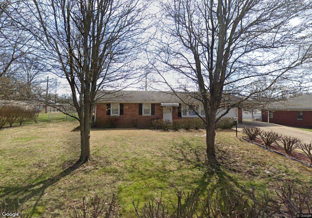
1016 Sherwood Dr New Albany, IN 47150
Estimated Value: $184,000 - $220,000
3
Beds
1
Bath
1,118
Sq Ft
$187/Sq Ft
Est. Value
About This Home
This home is located at 1016 Sherwood Dr, New Albany, IN 47150 and is currently estimated at $208,808, approximately $186 per square foot. 1016 Sherwood Dr is a home located in Floyd County with nearby schools including Hazelwood Middle School, New Albany Senior High School, and Community Montessori.
Ownership History
Date
Name
Owned For
Owner Type
Purchase Details
Closed on
May 22, 2020
Sold by
Same Annetta
Bought by
Brown Kyle W
Current Estimated Value
Home Financials for this Owner
Home Financials are based on the most recent Mortgage that was taken out on this home.
Original Mortgage
$78,750
Outstanding Balance
$55,084
Interest Rate
3.3%
Estimated Equity
$153,724
Create a Home Valuation Report for This Property
The Home Valuation Report is an in-depth analysis detailing your home's value as well as a comparison with similar homes in the area
Home Values in the Area
Average Home Value in this Area
Purchase History
| Date | Buyer | Sale Price | Title Company |
|---|---|---|---|
| Brown Kyle W | -- | Wt&S Title |
Source: Public Records
Mortgage History
| Date | Status | Borrower | Loan Amount |
|---|---|---|---|
| Open | Brown Kyle W | $78,750 |
Source: Public Records
Tax History Compared to Growth
Tax History
| Year | Tax Paid | Tax Assessment Tax Assessment Total Assessment is a certain percentage of the fair market value that is determined by local assessors to be the total taxable value of land and additions on the property. | Land | Improvement |
|---|---|---|---|---|
| 2024 | $3,034 | $142,900 | $32,600 | $110,300 |
| 2023 | $2,762 | $128,500 | $32,600 | $95,900 |
| 2022 | $3,367 | $156,800 | $32,600 | $124,200 |
| 2021 | $3,042 | $140,500 | $32,600 | $107,900 |
| 2020 | $1,584 | $144,200 | $32,600 | $111,600 |
| 2019 | $1,540 | $140,400 | $32,600 | $107,800 |
| 2018 | $1,264 | $121,000 | $32,600 | $88,400 |
| 2017 | $1,278 | $120,300 | $32,600 | $87,700 |
| 2016 | $1,056 | $112,100 | $32,600 | $79,500 |
| 2014 | $1,121 | $109,500 | $32,600 | $76,900 |
| 2013 | -- | $107,000 | $32,600 | $74,400 |
Source: Public Records
Map
Nearby Homes
- 303 Colonial Club Dr
- 213 Colonial Club Dr
- 917 Brentwood Ct
- 2705 Charlestown Rd
- 1709 Millerwood Dr
- 3105 Murr Ln
- 3903 Rainbow Dr
- 1749 McDonald Ln
- 30 Doebrook Ct
- 1672 Garretson Ln
- 1130 Eastridge Dr
- 3207 Blackiston Blvd
- 3828 Payne Koehler Rd
- 710 Victoria Ct
- 8 Robin Ct
- 3012 Grace Marie Way
- 3016 Grace Marie Way
- 4105 Stone Place
- 3027 Grace Marie Way
- 3021 Grace Marie Way
- 1014 Sherwood Dr
- 1018 Sherwood Dr
- 1015 Hollee Dr
- 1017 Hollee Dr
- 1013 Hollee Dr
- 1017 Sherwood Dr
- 1019 Hollee Dr
- 1015 Sherwood Dr
- 1012 Sherwood Dr
- 1009 Hollee Dr Unit 1011
- 1013 Sherwood Dr
- 1014 Hollee Dr
- 1016 Hollee Dr
- 1100 Savannah Dr
- 1016 Woodside Dr
- 1012 Hollee Dr
- 1014 Woodside Dr
- 1018 Woodside Dr
- 1018 Hollee Dr
- 1010 Sherwood Dr